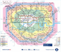
London Underground Tube Map
250 miles away
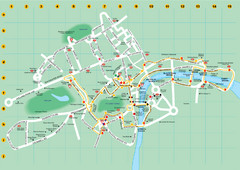
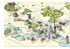
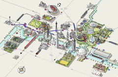
Ensignbus Sightseeing Bus Route Example Map
An example of one of many possible sightseeing routes from Ensignbus tours in London.
250 miles away
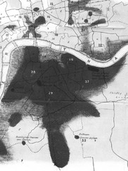
Mr. Grainger's "Cholera Map of the...
There were four districts south of the River Thames that might have interested Snow-#25, St...
250 miles away
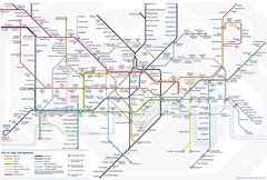
Tube Map
Map of London's Tube transportation lines and stops
250 miles away
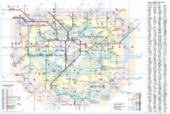
London Underground Map
250 miles away
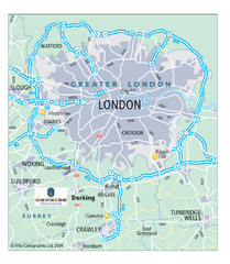
London Map
Map of London highways, roads and surrounding towns.
250 miles away
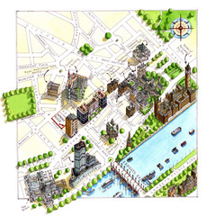
London Westminster Map
Aerial Map of Westminster london, showing the Houses of Parliament
250 miles away
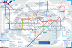
London Underground Tube Map
Map of London's underground Tube
250 miles away
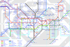
London Underground Map
London Underground map with all zones
250 miles away
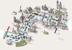
River Thames Jubilee Pageant Map
River Thames Jubilee Pageant 2012
250 miles away
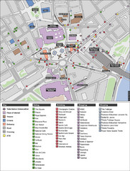
Trafalgar Square Map
250 miles away
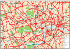
Central London Bus Map
1999 map from The London Tube Map Archive
250 miles away
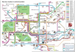
London Central Bus Routes Map
Guide to bus routes in London
251 miles away
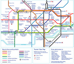
London Tourist Tube Map
London Tube Map with lots of station names replaced with tourist attractions. Key: Union Jack...
251 miles away
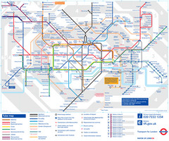
London Tube Map
251 miles away
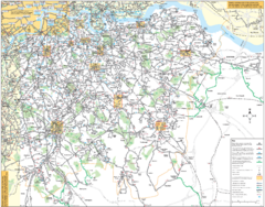
Southeast London Bus Map
251 miles away
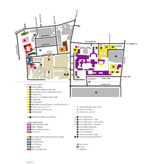
King's College in London Campus Map
King's College located in London
251 miles away
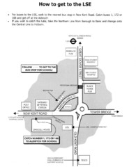
London School of Economics Bus Stop Map
How to get to the London School of Economics.
251 miles away
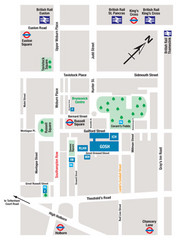
Great Ormond Street Hospital for Children Map
Great Ormond Street Hospital for Children NHS Trust (GOSH)
251 miles away
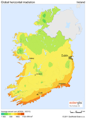
Solar Radiation Map of Ireland
Solar Radiation Map Based on high resolution Solar Radiation Database: SolarGIS. On the Solar Map...
251 miles away
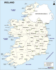
Ireland Political Map
251 miles away
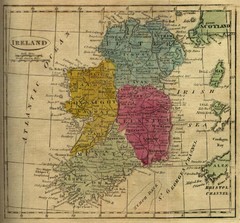
1808 Ireland Historical Map
251 miles away
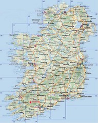
Ireland Tourist Map
251 miles away
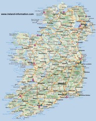
Ireland Travel Map
Map of Ireland detailing cities, major roads and airports.
251 miles away
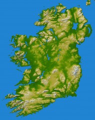
Ireland Topo Map
Shading and color-coding of topographic height.
251 miles away
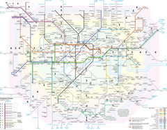
London Tube Map
251 miles away
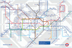
London Underground Map
Official map of the London Underground. An evolution of the original design conceived in 1931 by...
251 miles away
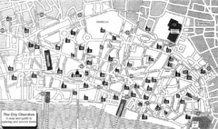
London Church Map
Map of the City of London showing 47 churches and 9 Towers
251 miles away
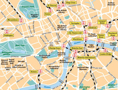
London Bahnhöfe Map
251 miles away
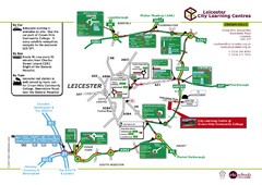
Leicester City Learning Centres Map
252 miles away
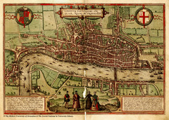
1560 London Map
Historic map of London showing city walls and farms
252 miles away
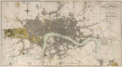
London Map 1807
1807 "London in miniature" map. Scanned.
252 miles away
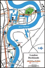
London Docklands Tourist Map
255 miles away

Deauville Map
255 miles away
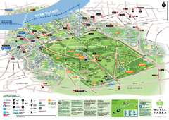
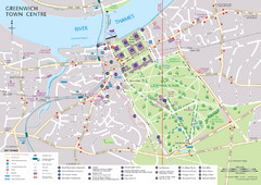
Greenwich Park Map
255 miles away
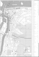
Trouville sur Mer Map
255 miles away
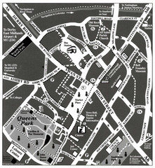
Loughborough Town Centre Map
255 miles away

