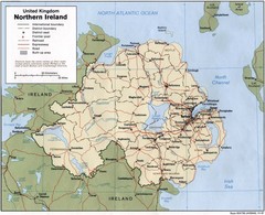
Northern Ireland Map
Map of Northern Ireland showing roads, cities, railroads and borders.
307 miles away
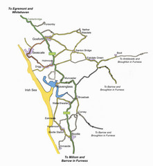
Whitehaven Wanderer Bus Route Map
307 miles away
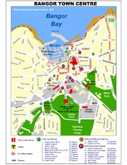
Bangor Town Centre Map
308 miles away
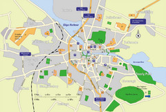
Sligo City Map
Map of Sligo with tourist information
308 miles away

Thanet Isle Map
1809 Guide to Thanet Isle in Britain
309 miles away
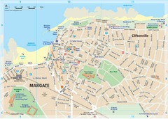
Margate TouristMap Map
310 miles away
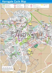
Harrogate Cycling Map
Shows traffic free cycling routes, advisory routes, traffic calmed roads, cycle lanes, bike shops...
310 miles away
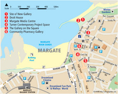
Margate Tourist Map
Tourist map of Margate, England.
310 miles away
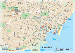
Ramsgate Tourist Map
Near Kent, England
311 miles away
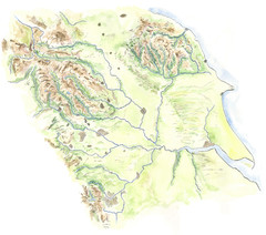
Yorkshire topography Map
312 miles away
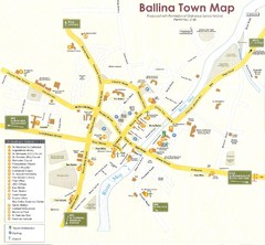
Ballina Town Map
312 miles away
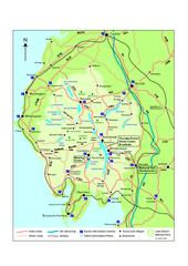
Lake District National Park Map
Detailed map marking the roads and boundaries of on of Britain's National Parks.
312 miles away
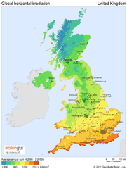
Solar radiation map of United Kingdom
Solar radiation map of UK, Global horizontal irradiation, Solar map UK
312 miles away
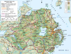
Northern Ireland General Map
Guide to Northern Ireland, major cities, topography and roads
312 miles away

Broadstairs Tourist Map
313 miles away
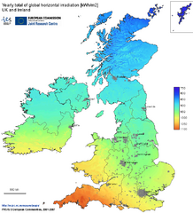
United Kingdom Solar Radiation Map
Guide to yearly total of global horizontal solar irradiation
313 miles away
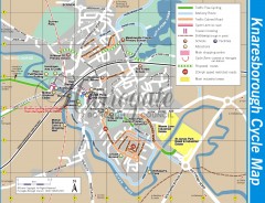
Knaresborough Cycling Map
Shows traffic free cycling routes, advisory routes, traffic calmed roads, cycle lanes, bike shops...
313 miles away
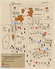
Castle Rigg Park Map
319 miles away
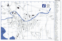
Keswick Tourist Map
Tourist map of Keswick, England. Shows all points of interest and has a street index.
319 miles away
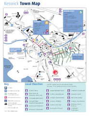
Keswick Town Map
Map of Keswick with Christian locations identified
319 miles away
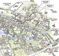
University of York Campus Map
Relevant landmarks and main roads and buildings
319 miles away
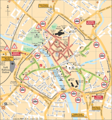
York Tourist Map
319 miles away
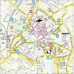
York England Tourist Map
Tourist map of York England showing roads, tourist sites ad railways.
319 miles away
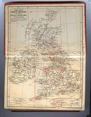
1910 Great Britain Map
320 miles away
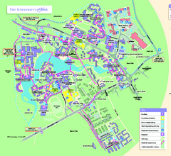
University of York Map - Heslington Campus
Campus map of the University of York Heslington Campus near York, England.
320 miles away
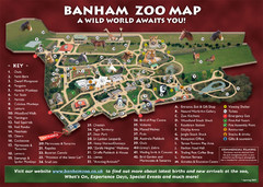
Banham Zoo Map
321 miles away
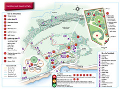
Carnfunnock Country Park Map
325 miles away
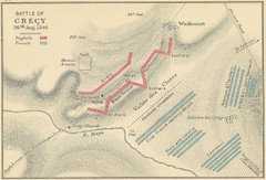
Battle of Crecy Map
Battlefield map of Crecy, France, August 28th 1346 during the Hundred Years War.
326 miles away
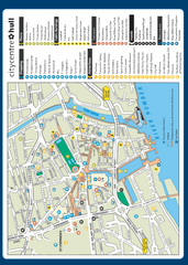
Hull City Centre Map
Tourist map of city of Hull. Shows points of interest including shopping, attractions, places...
328 miles away
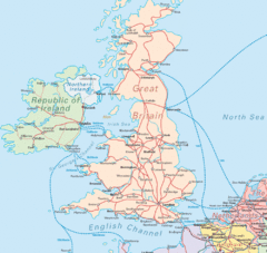
United Kingdom Transit Map
Guide to rail and ferries in the United Kingdom and surrounds
330 miles away
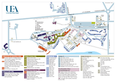
U. of East Anglia Map
334 miles away
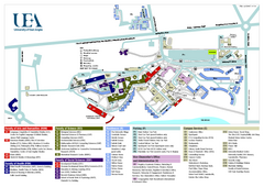
University of East Anglia Map
334 miles away

Cawston, Norfolk Guide Map
336 miles away

Owenea Fishery Map
Road Map of Owenea Fishery. Shows the location of the Owenea Fishery including all roads, towns...
338 miles away
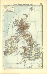
1911 British Isles Physical Map
Guide to physical features of the United Kingdom, then known as the British Isles
338 miles away
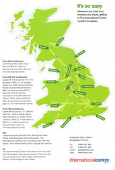
United Kingdom Map
338 miles away
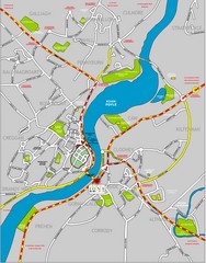
Londonderry Map
339 miles away
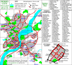
Derry/Londonderry Map
340 miles away
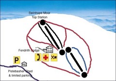
Swinhope Moor Sketch Ski Trail Map
Trail map from Swinhope Moor.
340 miles away
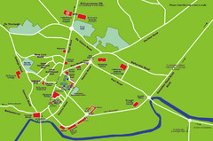
Letterkenny Map
341 miles away

