Amritsar Map
City map of Amritsar, Punjab, India
804 miles away

Bangladesh district Map
811 miles away
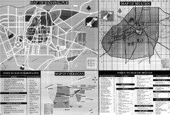
Pakbahawal Guide Map
Tourist maps of Pakistan cities Bahawalpur, Multan and Cholistan
812 miles away
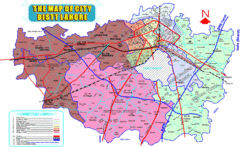
Lahore Map
Map of city district of Lahore, India. Shows all the union councils of the city district.
814 miles away
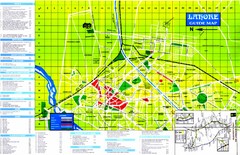
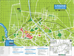
Lahore Tourist Map
Tourist map of Lahore, Pakistan. Shows hotels and other points of interest.
814 miles away
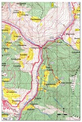
Trail to Paga Monastery Map
Trail to Paga Monastery near Chudzomtsa
815 miles away
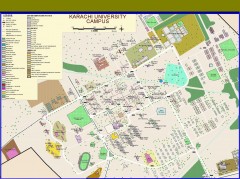
University of Karachi Map
Campus map of University of Karachi, Pakistan's largest public university. Shows all buildings...
815 miles away
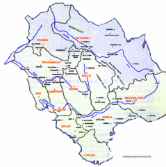
Himachil Tourist Map
816 miles away
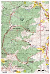
Trail to Bemri Lhakhang Map
Trail to Bemri Lhakhang south of Thimphu
816 miles away
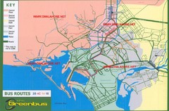
Karachi Bus Route Map
Bus routes and districts are clearly labeled.
817 miles away
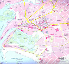
Karachi Road Map
817 miles away
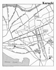
Karachi Pakistan City Map
City map of Karachi, Pakistan showing major roads and a few tourist sites and government buildings.
817 miles away
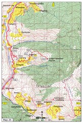
Trail from Sisina to Kunzangdechen monastery Map
Sisina to Kunzangdechen trail
817 miles away
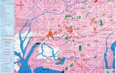
Karachi Map
817 miles away
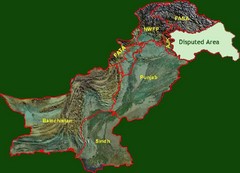
Pakistan Relief Map
Map of Pakistan showing the borders of the areas within the country and the terrain of each.
817 miles away
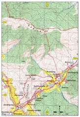
Khasadrapchu to Thimphu trail pt 1 Map
818 miles away

Trail to Bimelang Lake, Thimphu Map
Bimelang Lake Trail
820 miles away

Pakistan new provinces map
new suggested provinces of pakistan Only on the basis of administration not on caste or language.
822 miles away
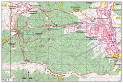
Trail fom Youth Center Thimphu to Pumola...
Way to Pumola monastery
822 miles away
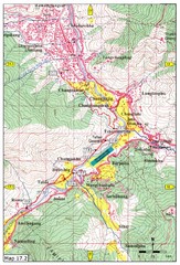
Khasadrapchu to Thimphu trail pt 2 Map
Khasadrapchu to Thimphu trail part 2. (Rama to Thimphu)
823 miles away
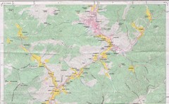
Old Map of Thimphu 1
824 miles away
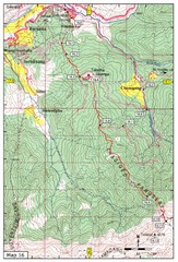
Simtokha-Talakha trail near Thimphu Map
Simtokha to Talakha trail
825 miles away
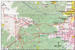
Dechenphodrang and Pajoding, Thimphu Map
Dechenphodrang to Pajoding, Tujedrag and Pumola monastaries
825 miles away
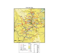
Thimphu trekking trails Map
Overview map of day hikes around Thimphu, Bhutan
826 miles away
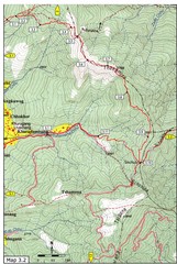
Droley Gonpa trail, Thimphu Map
827 miles away
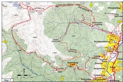
Dechenphu Valley, Thimphu Map
828 miles away
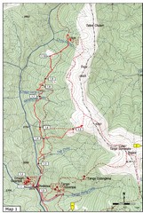
Trails near Cgagri monastery, Thimphu Map
trails near Chagri monastery Thimphu, Bhutan
828 miles away
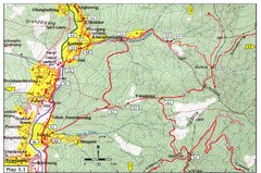
Dechencholing to Sinchula, Thimphu Map
Dechencholing,Kabisa
828 miles away
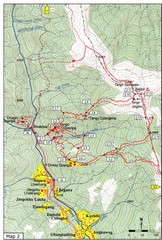
Trails near Tango Monastery, Thimphu Map
Trails around Tango Monastery, Thimphu, Bhutain
828 miles away
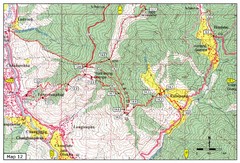
Trail from Yangchenphug HS to Thadranang and...
Yangchenphug high school to Thadranang, Oselpang near Hongtso
829 miles away
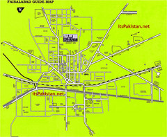
Faisalabad Road Map
This is a map of Faisalabad Pakistan showing important places of Faisalabad and main roads
832 miles away
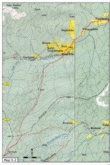
Thimphu Punakha trail Map
833 miles away
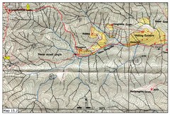
Dochula to Lungchuzekha Gonpa trail map 2
833 miles away
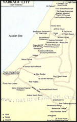
Varkala City Map
City map of Varkala with attractions, hotels, restaurants
834 miles away
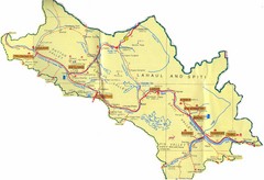
Lahaul Valley and Spiti Valley India Tourist Map
Tourist map for Lahaul Valley and Spiti Valley, India showing tourist sites and roads in the area.
837 miles away
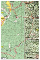
Dochula to Lungchuzekha Gonpa trail map 1
Dochula to Lungchuzekha Gonpa trail . Near Thmphu,Bhutan
837 miles away

Languages of Pakistan Map
854 miles away


