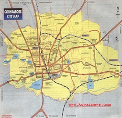
Coimbatore City Map
City map of Coimbatore
676 miles away
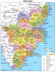
Tamil Nadu Political Map
Political map of state of Tamil Nadu, India and Indian areas south.
678 miles away
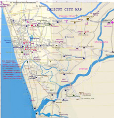
Calicut City Map
680 miles away
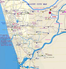
Calicut City Map
Map of city streets, buses and places of interest for Calicut city, India.
680 miles away
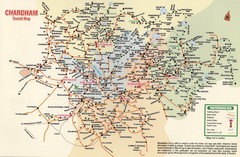
Tourist Guide Map
Tourist Guide Map of Hindu Pilgrimage Site
684 miles away
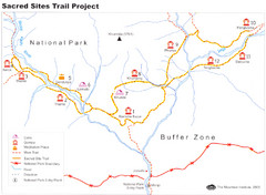
Khumbu Region Sacred Sites Trail Map
Shows the Sacred Site Trail in the Khumbu region of Nepal in Sagarmatha National Park. From the...
685 miles away
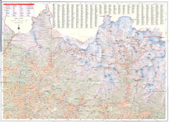
Sagarmatha National Park Map
Detailed topo map of Sagarmatha National Park in Nepal. Shows park boundary, peaks, passes...
689 miles away
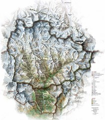
Sagarmatha National Park Map
Shows Sagarmatha National Park, Nepal and surrounding National Parks near Mt. Everest. Shows...
699 miles away
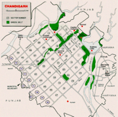
Chandigarh City Map
City map of Chandigarh
715 miles away
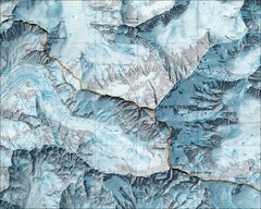
Mount Everest Map
715 miles away
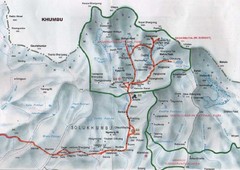
Mt. Everest Map
715 miles away
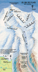
Mt Everest Rongbu Glacier Climbing Map
716 miles away
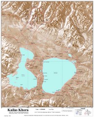
Kailash (Feng) Mountain Map
Kailash is locally more known as Kangrinboqe (Feng). It is the highest mountain in the western part...
720 miles away
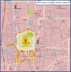
Thrissur Tourist Map
Tourist map of city of Thrissur, India. Shows Vadukunnathan Temple and other points of interest.
720 miles away
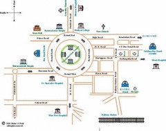
Trissur Tourist Map
721 miles away
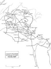
Chandigarh Map
728 miles away

Bangladesh simplified geology Map
733 miles away
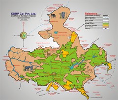
Idukki District Estate Map
Tourist map shows estates of one company, KDHP, in the high range of the Idukki District centered...
738 miles away
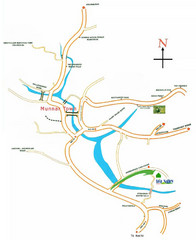
Tea Valley Resort Map
738 miles away
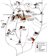
Mt. Kailash Hiking Map
Hiking on a sacred mountain.
739 miles away

Kurigram District Map
750 miles away
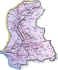
Sindh Guide Map
758 miles away

Bangladesh 1998 flood map
758 miles away
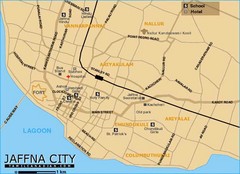
Jaffna City Map
Simple map of this small coastal city.
759 miles away

Bangladesh Agro Ecological zones Map
760 miles away

Bangladesh Tourist Center Map
Map of tourist centers, Bangladesh.
760 miles away
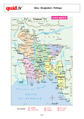
Bangladesh Regional Map
Country map with detail of regional divides
760 miles away
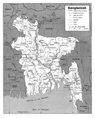
Bangladesh Map
Bangladesh Map showing cities, borders and rivers
760 miles away
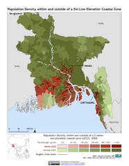
Bangladesh 5m LECZ and Population Density Map
Population densite within and outside of a 5 meter low elevation coastal zone
760 miles away

Bangladesh Map
Bangladesh country map, shows physical relief
760 miles away
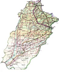
Punjab Guide Map
764 miles away
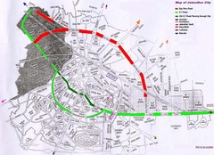
Jalandhar City Map
Jalandhar (Jullundur) city map with main roads highlighted
772 miles away
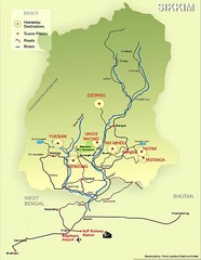
Sikkim Tourist Map
777 miles away
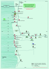
Kumarakom Resort Tourist Map
778 miles away
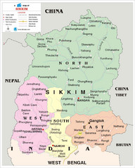
Sikkim Travel Map
Sikkim, India Travel Map with cities, roads and borders.
784 miles away
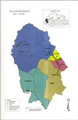
Haa Dzongkhag, Bhutan Road Map
803 miles away


