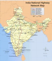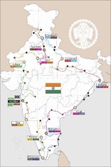
India Transportation Map
0 miles away

India Tourist Map
0 miles away

India Map
0 miles away

India Tourist Map
Map of India showing cities, roads, state boundaries and heritage sites.
0 miles away

India Tourist map
Map of India showing tourist centers, places of interest, cities and roads.
0 miles away
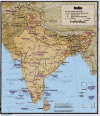
India Map
Tourist Destinations highlighted on India map. Map contains cities, major roads, railways and...
0 miles away

India Map
Map of India showing major cities and roads.
0 miles away

India Tourist Map
Simple map of India showing tourist sites with a star, cities, borders and airports.
0 miles away
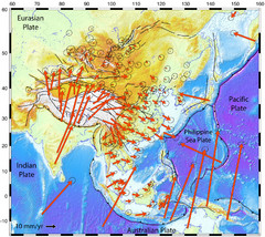
Horizontal Surface Motions map
This map illustrates the horizontal surface motions of sites in Asia. Eric Calais, a Purdue...
0 miles away
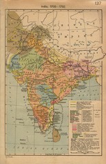
18th century India Map
0 miles away
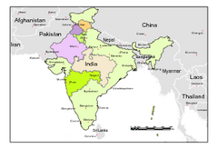
Political Map of India, Fully Editable in...
Political Map of India with boundaries of few Western and Northern states. Major cities have been...
0 miles away
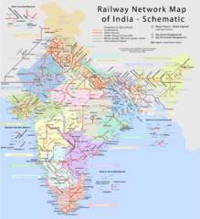
India Railway Network Schematic Map
Schematic rail map of India showing trunk and other routes.
0 miles away
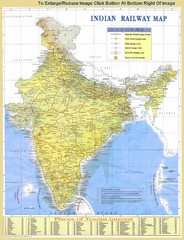
India Railway and Tourist Map
Railway and tourist map of India.
0 miles away
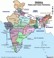
India states and union territories Map
India states and union territories
0 miles away
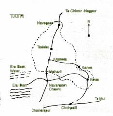
Tadoba National Park Map
Hand drawn map of Tadoba National Park, Chandrapur, India which is part of Tadoba -Andhari Tiger...
48 miles away
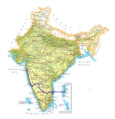
India Map
56 miles away
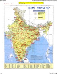
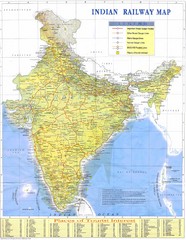
India Train Map
Map of Indian Railways. Includes full map of India, railway routes, cities, roads, and a list of...
133 miles away
India Outline Map
Map of India showing regions and outline only, no roads or cities
161 miles away
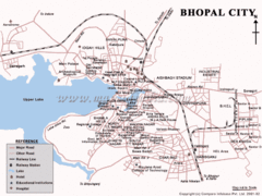
Bhopal Tourist Map
208 miles away
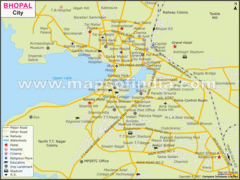
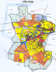
Bhopal City Map
Roads, towns and points of interest are marked on this clear map and legend.
208 miles away
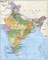
India Map
Map of India with details on cities, towns, and villages
216 miles away

Karjat Region Map
219 miles away
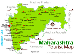
Maharahtra Tourist Map
219 miles away
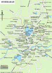
Hyderabad Tourist Map
224 miles away
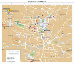
Hyderabad Hotel Map
224 miles away
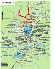
Hyderabad Tourist Map
224 miles away
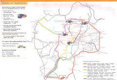
Hyderabad Transportation Map
224 miles away
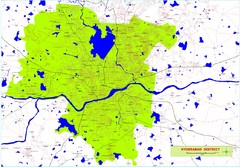
Hyderabad District Map
District map of Hyderabad, India
224 miles away
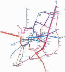
Indore Bus Map
248 miles away
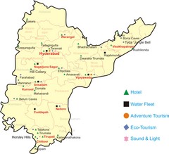
Andhra Pradesh Tourist Map
A Tourism Map of Andhra Pradesh,India with major tourist attractions and the facilities available...
256 miles away
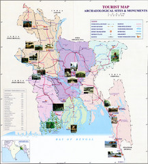
India Archaelogical Sites Map
Archaeological sites and monuments.
284 miles away
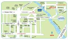
Nashik Tourist Map
338 miles away
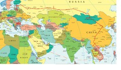
Partial Europe, Middle East, Asia, Partial Russia...
Map that shows the Eastern half of Europe, the Southern half of Russia, the Northern half of Africa...
343 miles away
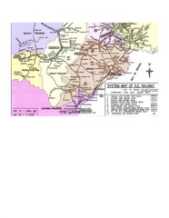
Orissa Railway Map
Map of Indian Railways in Orissa. Includes all railways, roads, and cities.
345 miles away
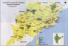
Orissa Tourist Map
351 miles away

