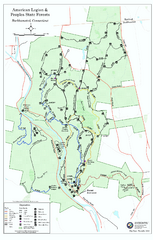
American Legion State Forest trail map
Trail map of American Legion and Peoples State Forests in Connecticut.
29 miles away
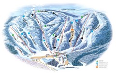
Butternut Ski Area Ski Trail Map
Trail map from Butternut Ski Area.
30 miles away
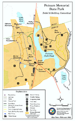
Putnam Memorial State Park map
Trail map for Putnal Memorial State Park in Connecticut,
30 miles away
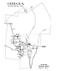
Onteora District Map
Boy Scouts Map of Onteora
31 miles away
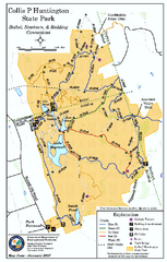
Collis P. Huntington State Park map
Trail map of Collis P. Huntington State Park in Connecticut
31 miles away
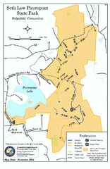
Seth Low Pierrepont State Park Reserve map
Trail map of Seth Low Pierreport State Park in Connecticut.
31 miles away
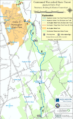
Centennial Watershed State Forest trail map
Trail map of Centennial Watershed State Forest in Connecticut
31 miles away
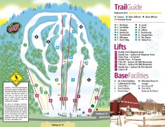
Mount Southington Ski Trail Map
Official ski trail map of Mount Southington ski area from the 2007-2008 season.
32 miles away
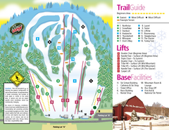
Mt. Southington Ski Area Ski Trail Map
Trail map from Mt. Southington Ski Area, which provides downhill, night, and terrain park skiing...
32 miles away
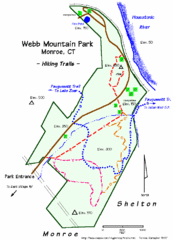
Webb Moutain Park Map
32 miles away
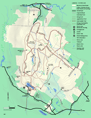
Beartown State Park Winter Map
Winter use map of Beartown State Park in Massachusetts
33 miles away
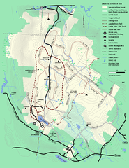
Beartown State Park Summer Map
Summer Map of Beartown State Park in Massachusetts.
33 miles away
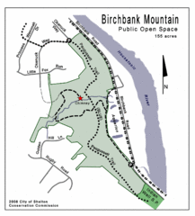
Birchbank Park Map
34 miles away
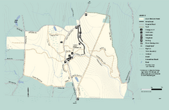
Granville State Forest trail map
Trail map of Granville State Forest in Massachusetts
34 miles away
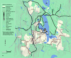
Tolland State Forest summer trail map
Summer use map for Tolland State Forest in Massachusetts.
34 miles away
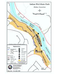
Indian Well State Park map
Trail map for Indian Well State Park in Connecticut.
34 miles away
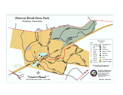
Stratton Brook State Park map
Trail map of Stratton Brook State Park in Connecticut.
35 miles away
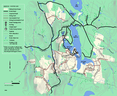
Tolland State Forest winter trail map
Winter usage trail map of the Tolland State Forest area in Massachusetts.
35 miles away
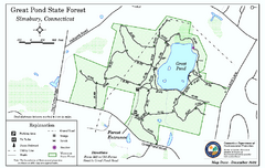
Great Pond State Park trail map
Trail map of Great Pond State Forest in Connecticut.
35 miles away
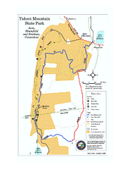
Talcott Mountain State Park map
Trail map of Talcott Mountain State Park in Connecticut.
36 miles away
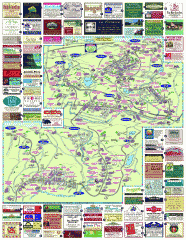
South County Berkshires map
Tourist map of Great Barrington, Housatonic, Sheffield, S. Egremont, N. Egremont Lenox, Stockbridge...
36 miles away
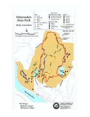
Osbornedale State Park map
Trail map of Osborndale State Park in Connecticut.
36 miles away
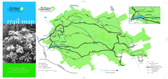
Devil's Den Preserve Map
36 miles away
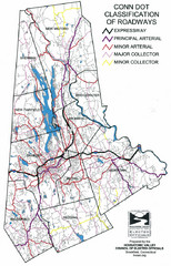
Connecticut Roadway Classification Map
36 miles away
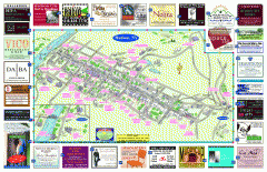
Hudson Tourist Map
Tourist map of Hudson, New York showing all tourist points of interest. Ads around border.
37 miles away
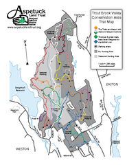
Trout Brook Valley Map
37 miles away
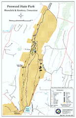
Penwood State Park map
Trail map of Penwood State Park in Connecticut.
38 miles away
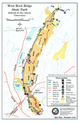
West Rock Ridge State Park map
Trail map of West Rock Ridge State Park in Connecticut.
39 miles away
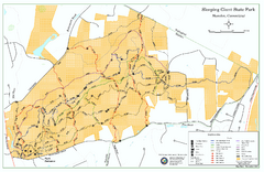
Sleeping Giant State Park map
Trail map for Sleeping Giant State Park in Connecticut.
40 miles away
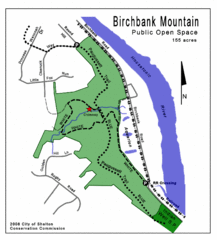
Birchbank Park Map
Several miles of moderately difficult trails along the Housatonic River bluff, including the...
40 miles away
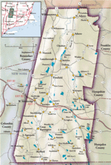
Berkshires Map
Overview map of the Berkshires region of Western Massachusetts
41 miles away
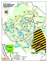
Blue Mountain Reservation Mountain Bike Trail Map
Mountain biking map of the Blue Mountain Reservation from the Westchester Mountain Biking...
41 miles away
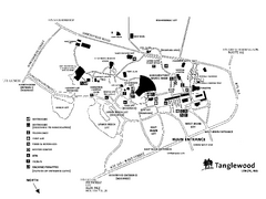
Tanglewood Map
Detailed map of the Tanglewood grounds that includes the location of the Box Office, Friends Office...
41 miles away
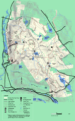
October Mountain State Forest trail map
Trail map of October Mountain State Forest in Massachusetts.
41 miles away
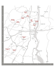
Shawangunk Wine Trail Map
Map of the Shawangunk Wine Trail on the Hudson River in New York. Shows all vineyards and wineries...
41 miles away
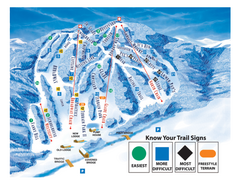
Blandford Ski Area Ski Trail Map
Trail map from Blandford Ski Area.
42 miles away
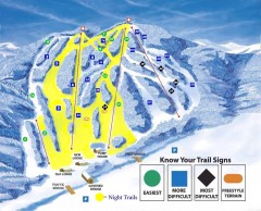
Blandford Ski Trail Map
Official ski trail map of Blandford ski area
42 miles away
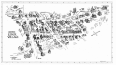
Lenox Village Map
Hand-drawn village map of historic center of Lenox, Massachusetts
42 miles away

Wadsworth Athenium Museum Location Map
Wadsworth Athenium visitor location map with locations of major buildings, streets, parks, and...
42 miles away
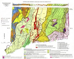
Connecticut Geologic Map
Geologic map of Connecticut bedrock. Shows shaded terranes, fault lines, and Mesozoic formations.
42 miles away

