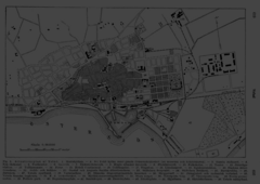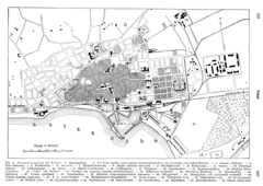
Ryazan Map
619 miles away

Central Ryazan Guide Map
620 miles away
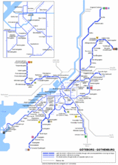
Göteborg Tram Map
Map marking rails, stops and more.
620 miles away
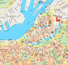
Gothenburg Tourist Map
620 miles away

Ryazan Map
620 miles away
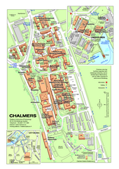
Campus Johanneberg Map
One of the two Chalmer campuses.
620 miles away
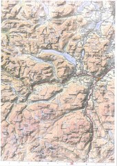
Oppdal Topo Map
Topo map of Oppdal, Norway region
620 miles away
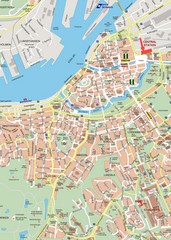
Central Gothenburg Street Map
Street map of central Gothenburg, Sweden
621 miles away
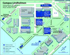
Campus Lindholmen Map
One of the two Chalmer's campuses.
621 miles away
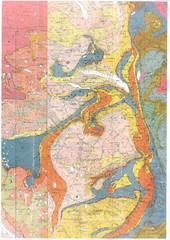
Oppdal Geologic Map
Map of geology around Oppdal, Norway
630 miles away
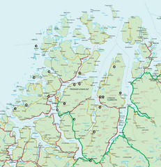
Tromso Lyngen Region Overview Map
Reference map of Tromso, Norway region above the Arctic Circle. Shows roads and major ferry routes.
631 miles away

Murom Map
632 miles away
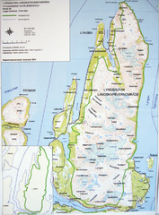
Lyngen Peninsula Map
Topo map of the northern Lyngen Peninsula near Tromso, Norway. Shows peaks. From photo.
633 miles away
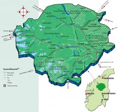
Nasjonalparkriket National Park Region Map
The national parks region "Nasjonalparkriket" is centrally located between the cities of...
635 miles away
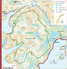
Anderdalen National Park Map
Topo map of Anderdalen National Park on Berg Senja, Norway
636 miles away
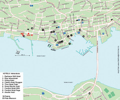
Tromso Tourist Map
Tourist map of central Tromso, Norway showing all hotels.
640 miles away
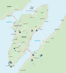
Tromso Overview Map
Overview map of Tromso, Norway island. Shows major roads and streets.
641 miles away

Drohiczyn Podlaskie Kayak Map
Kayak trips on the bug river highlighted on the map of Drohiczyn, Podlaskie, Poland.
645 miles away
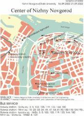
Nizhny Novgorod Map
Simple map marking major roads and railway stations.
656 miles away
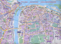
Nizhny Novgorod Tourist Map
Tourist map of central Nizhny Novgorod, Russia on the Volga River. Scanned.
656 miles away
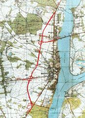
Serock Map
Town map of Serock, Poland. Not very much detail.
659 miles away
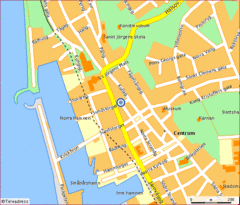
Helsingborg City Map
Map of city center with detail of main roads
663 miles away
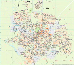
Lund City Map
City map of Lund, Sweden. Shows transportation lines.
663 miles away
Lund Map (swedish)
663 miles away
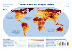
Global Map of Accessibility
European Commission has produced a gorgeous map of global accessibility to cities.
664 miles away
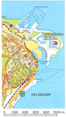
Helsingor - Krongborg Castle Map
666 miles away
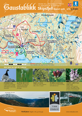
Skipsfjellet Hiking Map
Hiking trail map of Skipsfjell, Norway near Rjukan, Norway. Shows moderate 2 hour loop hike and...
668 miles away
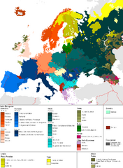
Languages of Europe Map
A map of the languages in Europe and where they originate.
671 miles away
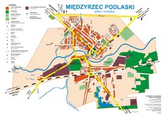
Miedzyrzec Podlaski Location Map (polish)
671 miles away
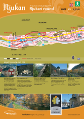
Rjukan Walking Map
Walk route map in Rjukan, Norway. Shows natural and cultural history and photos.
673 miles away
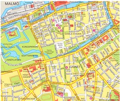
Malmo 1 Map
673 miles away
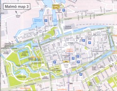
Malmo 2 Map
673 miles away
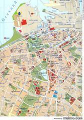
Malmo City Map
City map of central Malmö, Sweden.
673 miles away
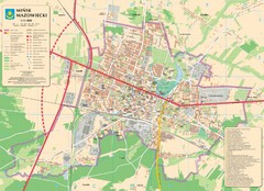
Minsk Tourist Map
Tourist map of Minsk, Poland. In Polish.
674 miles away
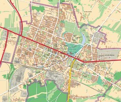
Mińsk Mazowiecki City Map
City map of Mińsk Mazowiecki, Poland
674 miles away

