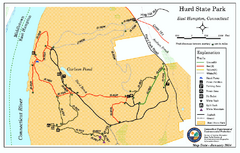
Hurd State Park trail map
Trail map for Hurd State Park in Connecticut.
0 miles away
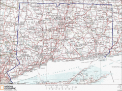
Connecticut State Parks Map
This is statewide map for Connecticut state parks. Go to the source website for detailed hiking...
4 miles away

Cockaponset State Forest North Section trail map
Trail map for the north section of Cockaponset State Forest in Connecticut
4 miles away
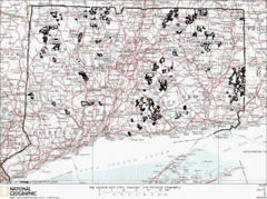
Connecticut State Forests Map
This is a map of all of the state forest boundaries in Connecticut. Follow the source web address...
5 miles away
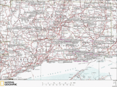
Connecticut Canoeing and Kayaking Lakes Map
A map of the lakes and ponds that are open for canoeing and kayaking in Connecticut. For detailed...
5 miles away

Salmon River State Forest trail map
Trail map for Salmon River State Forest in Connecticut.
7 miles away
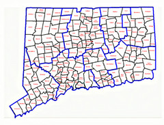
Connecticut Town Map
7 miles away
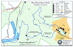
Daypond State Park map
Trail map for Day Pond State Park
7 miles away

Cockaponset State Forest South Section trail map
Trail map for the South Section of Cockaponset State Forest in Connecticut.
7 miles away
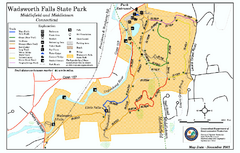
Wadsworth Falls State Park map
Trail map of Wadsworth Falls State Park in Connecticut.
7 miles away
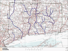
Connecticut Rivers and Coastal Paddling Map
This is a map of paddling areas for rivers and coastal kayaking. Follow the link below for...
8 miles away
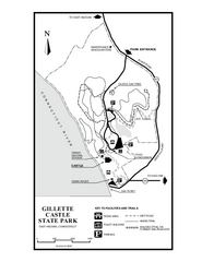
Gillette State Park trail map
Trail map of Gillette Castle State Park in Connecticut.
9 miles away
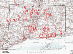
Connecticut Road Cycling Routes Map
A map of road cycling routes throughout Connecticut. Follow the link below for detailed route maps...
9 miles away
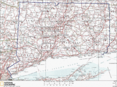
Connecticut Rock Climbing Locations Map
A map of most of the important rock climbing and bouldering areas in Connecticut. Click the link...
9 miles away
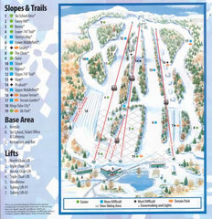
Powder Ridge Ski Area Ski Trail Map
Trail map from Powder Ridge Ski Area.
10 miles away
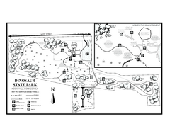
Dinosaur State Park map
Trail map of Dinosaur State Park in Connecticut.
11 miles away
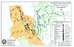
Chatfield Hollow State Park map
Trail map of Chatfield Hollow State Park
11 miles away
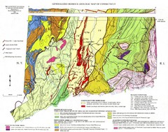
Connecticut Geologic Map
Geologic map of Connecticut bedrock. Shows shaded terranes, fault lines, and Mesozoic formations.
11 miles away
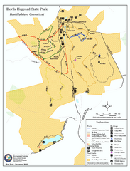
Devils Hophard State Park map
Trail and camprground map for Devils Hopyard State Park in Connecticut.
11 miles away
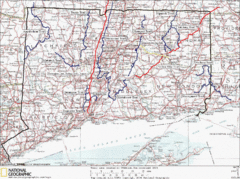
Connecticut Long Distance Trails Map
A map of long distance trails throughout Connecticut. Go to the website below for detailed trail...
12 miles away
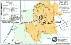
Gay City State Park trail map
Trail map of Gay City State Park in Connecticut.
15 miles away
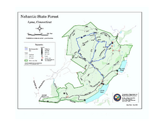
Nehantic State Forest map
Trail map of Nehantic State Forest in Connecticut.
15 miles away
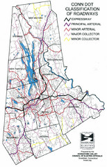
Connecticut Roadway Classification Map
16 miles away
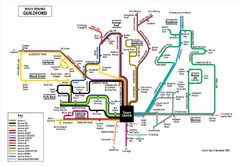
Guilford Bus Services Map
17 miles away

Hammonasset Beach State Park map
Trail map for Hammonasset Beach State Park in Connecticut.
18 miles away

Hammonasset Beach State Park campground map
Campground map of Hammonasset State Park in Connecticut.
18 miles away

Wadsworth Athenium Museum Location Map
Wadsworth Athenium visitor location map with locations of major buildings, streets, parks, and...
18 miles away
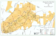
Sleeping Giant State Park map
Trail map for Sleeping Giant State Park in Connecticut.
19 miles away
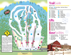
Mt. Southington Ski Area Ski Trail Map
Trail map from Mt. Southington Ski Area, which provides downhill, night, and terrain park skiing...
20 miles away
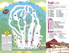
Mount Southington Ski Trail Map
Official ski trail map of Mount Southington ski area from the 2007-2008 season.
20 miles away
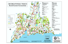
South Central Connecticut Recreational Trail Map
Map of South Central Connecticut showing all recreational trails and open spaces.
21 miles away
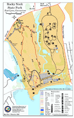
Rocky Neck State Park trail map
Trail map of Rocky Neck State Park in Connecticut.
21 miles away
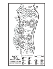
Rocky Neck State Park campground map
Campground map of Rocky Neck State Park in Connecticut.
21 miles away
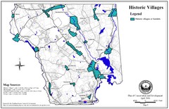
Historic Villages of Mansfield, Connecticut Map
Historical villages outlined on the map of the existing city.
22 miles away
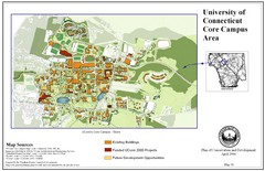
University of Connecticut Campus Map
Map shows current, funded projects and future development for UConn.
22 miles away
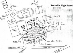
Rockville High School Map
Hand-drawn map of Rockville High School includes all buildings, Parking Lots, and sports fields.
24 miles away
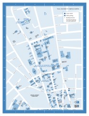
Yale University Campus North Map
Yale University Campus Map - North Campus, including School of Forestry & Environmental Studies...
24 miles away
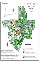
2002 Windham Region Land Use Map
Regional Land Use Guide Map for Planning Purposes
24 miles away
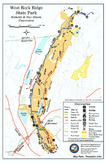
West Rock Ridge State Park map
Trail map of West Rock Ridge State Park in Connecticut.
24 miles away

Yale University Map
25 miles away

