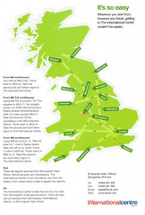
United Kingdom Map
506 miles away
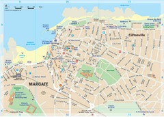
Margate TouristMap Map
506 miles away
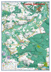
Jastrzebia commune 3D Map
Jastrzebia commune - 3D map Ed. 2010 Projection UTM/WGS84 Scale 1:25 000 Mede with extensive use...
506 miles away
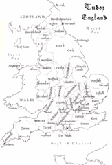
Tudor England Counties Map
Guide to the counties of England under Tudor reign
506 miles away
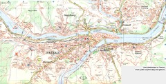
Passau Map
City map of Passau and surrounding area
506 miles away
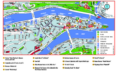
Passau Tourist Map
Tourist map of Passau, Germany. Shows points of interest. In English.
506 miles away
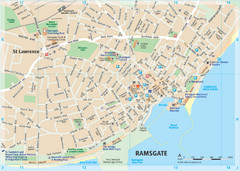
Ramsgate Tourist Map
Near Kent, England
506 miles away
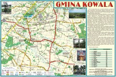
Kowala_Mazovia_poland.jpg Map
Map of Kowala_Mazovia_poland.jpg is a Kowala commune map, created with use of GlobalMapper and...
506 miles away
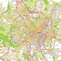
Brno Tourist Map
Tourist map of Brno, Czech Republic. Shows central Brno and surrounding area.
506 miles away
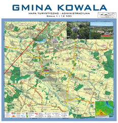
Kowala Commune - near Radom, PL Map
Kowala-Stepocina Commune - the administrative and touristic wall map, scala 1:12500, with 3D effect...
507 miles away
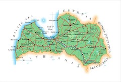
Latvia Map
507 miles away
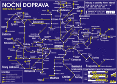
Brno Czech Republic Mass Transit Map
Mass Transit map showing all routes and stops in Brno, Czech Republic.
507 miles away
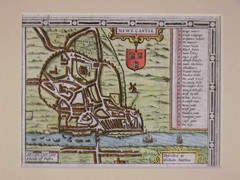
1611 Newcastle-Upon-Tyne Historic Map
Guide to historic Newcastle upon Tyne
508 miles away
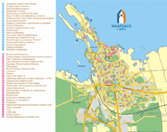
Haapsalu Tourist Map
Tourist street map of Haapsalu
508 miles away
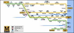
Newcastle Metro System Map
508 miles away
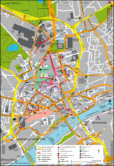
Newcastle City Map
City center map of Newcastle Upon Tyne, UK
508 miles away
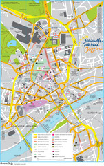
Newcastle Tourist Map
Tourist map of central Newcastle Upon Tyne, UK. Shows points of interest.
508 miles away
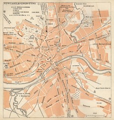
Newcastle upon Tyne Map
1920 Michelin Map to Newcastle upon Tyne, UK
508 miles away
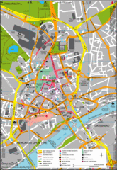
Newcastle Upon Tyne City Map
City map of Newcastle Upon Tyne with tourist information and some of Gateshead
508 miles away

Thanet Isle Map
1809 Guide to Thanet Isle in Britain
508 miles away
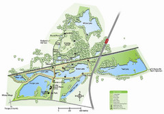
Whisby Nature Park Map
Shows park as of January 2009.
509 miles away
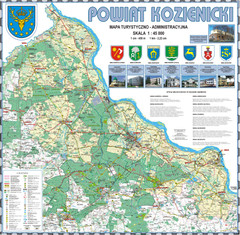
Kozienice_County_wall_map Map
Kozienice County big size wall map Covers all 7 communes: Kozienice, Garbatka-Letnisko, Grabow nad...
509 miles away
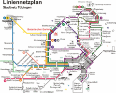
Tubingen Bus Map
Bus routes and connections, Tubingen, Germany. (German).
509 miles away
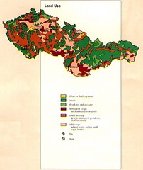
Czechoslovakia Land Use Map
Map of Czechoslovakia region land use
510 miles away
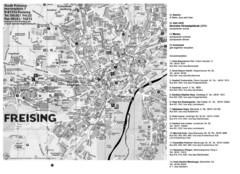
Freising City Map
510 miles away
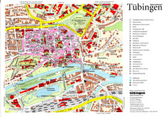
Tübingen Tourist Map
Tourist map of Old Town center of Tübingen
510 miles away
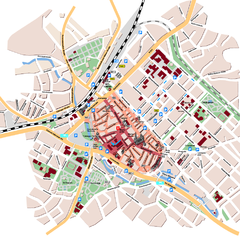
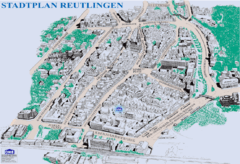
Reutlingen Tourist Map
Tourist street map of Reutlingen
511 miles away
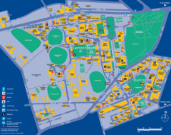
Camperdown Tourist Map
Guide map for Camperdown and Darlington, United Kingdom
511 miles away
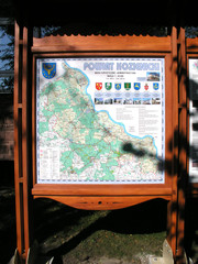
Kozienice_County_Poland_Streetmap.jpg Map
Street Map of Kozienice_County_Poland_Streetmap.jpg is added here because of the interesting wooden...
511 miles away
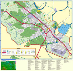
Kocienice_City_Plan-POLAND Map
Plan of City of Kozienice, PL
511 miles away
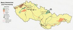
Czechoslovakia Resources Map (1974)
Map of 1974 Czechoslovakia resources
512 miles away
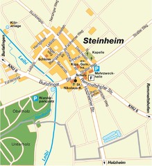
Ulm Steinheim Map
Street map of town of Ulm Steinheim
512 miles away
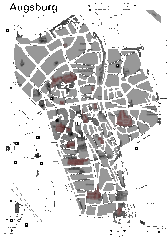
Augsburg Tourist Map
Shows central Augsburg and its sights.
512 miles away
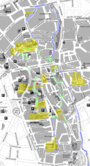
Augsburg Tourist Map
Tourist street map of downtown Augsburg
512 miles away
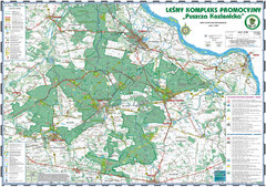
PuszczaKozienicka tourist map
LKP - Lesny Kompleks Promocyjny - PuszczaKozienicka - tourist map Ed. 2010 Projection: UTM/WGS84...
512 miles away
Delaine Bus Route Map
Map of bus routes throughout from Borne to Peterborough
513 miles away
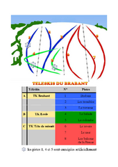
Brabant Ski Trail Map
Trail map from Brabant.
514 miles away

