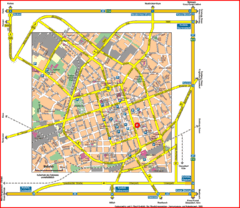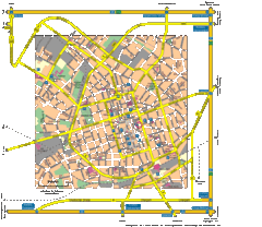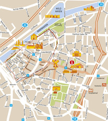
Duisburg City Map
Street map of Duisburg center
351 miles away
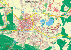
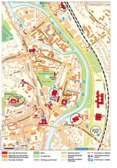
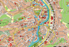
Ilmenau City Map
City map of Ilmenau, Germany
352 miles away
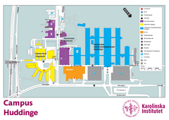
Karolinska Institute Karta Huddinge Campus Map
Easy to read and follow map of this Karolinska Institute campus.
353 miles away
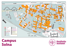
Karolinska Institute Solna Campus Map
Easy to read map of this small campus.
353 miles away
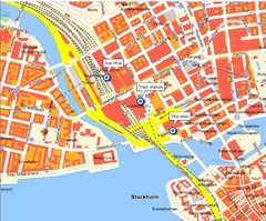
Stokholm Tourist Map
353 miles away
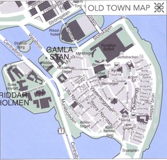
Stockholm old town Map
353 miles away
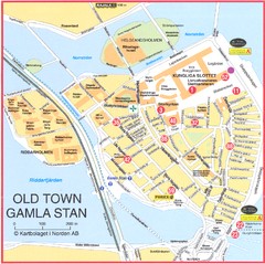
Stockholm - Gamla Stan Map
353 miles away
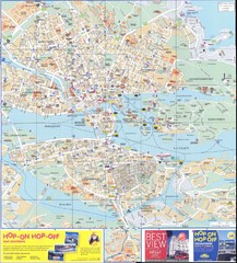
Stockholm overall Map
353 miles away
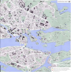
Stockholm Map
353 miles away
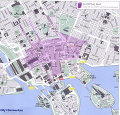
Stockholm shopping Map
353 miles away
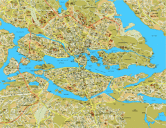
Stockholm City Map
City street map of central Stockholm, Sweden.
353 miles away
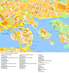
Stockholm Tourist Map
Tourist map of Stockholm, Sweden. Shows points of interest.
353 miles away
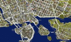
Stockholm Shopping Map
Panoramic map of central Stockholm, Sweden. Shows stores with logos.
353 miles away
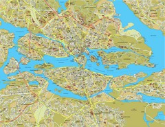
Stockholm Tourist Map
Tourist map of Stockholm, Sweden.
353 miles away
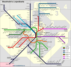
Stockholm tunnelband Map
353 miles away
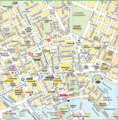
Stockholm downtown Map
353 miles away
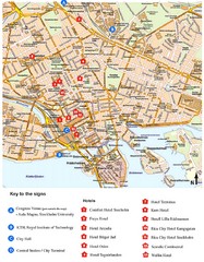
Stockholm Tourist Map
353 miles away
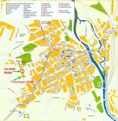
Saalfeld Tourist Map
Tourist street map of Saalfeld
354 miles away
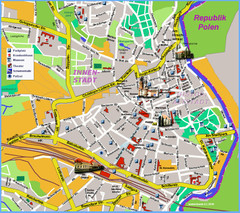
Goerlitz Tourist Map
Tourist street map of Goerlitz
354 miles away
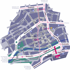
Wuppertal Elberfeld Street Map
Street map of Elberfeld in Wuppertal, Germany. In German.
354 miles away
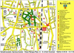
Kevelear Tourist Map
Tourist map of Kevelear
354 miles away
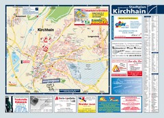
Kirchhain Tourist Map
Tourist map of Kirchhain and surrounding region
355 miles away
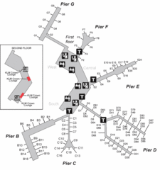
Amsterdam Airport Schipol Map
355 miles away
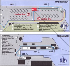
Stockholm cruise ship docks Map
355 miles away
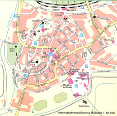
Kirchain Center Map
Street map of Kirchain center
355 miles away
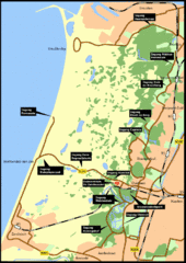
Nationaal Park Zuid-Kennemerland Map
Park overview map of Zuid-Kennemerland National Park (NPZK), Netherlands
355 miles away
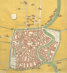
Haarlem City Map
Haarlem city center map from 1550
356 miles away
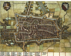
Historic map of Utrecht in 1652
356 miles away
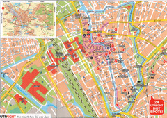
Utrecht Map
356 miles away
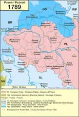
1789 Poland Map
Polish kingdoms and districts in 1789
357 miles away
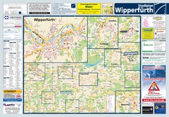
Wipperfuerth Tourist Map
Tourist map of Wipperfuerth and surrounding region
358 miles away

