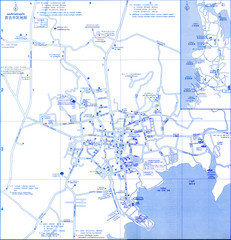
Phuket Map
Map of Phuket, Thailand's largest island. In Thai.
304 miles away
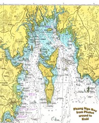
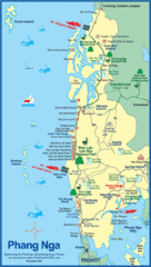
Phang Nga Bay Thailand Map
Map of Phang Nga Bay, Phuket, Thailand showing the water depths and land elevations.
309 miles away
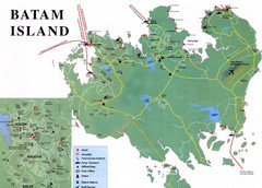
Batam Tourist Map
Tourist map of Batam island, Indonesia. Shows all ferry terminals, airport, and other useful info...
316 miles away
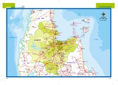
Suratthani, Thailand Map
328 miles away
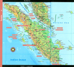
Sumatra Overview Map
Detailed map of island of Sumatra, Indonesia. Scanned.
331 miles away
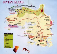
Bintan Island, Indonesia Beach Tourist Map
332 miles away
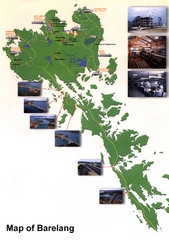
Barelang Bridge Map
Shows ferry terminals, airport, and chain of 6 bridges (with photos) known as the Barelang Bridge...
335 miles away
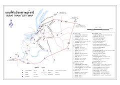
Surat Thani Tourist Map
Tourist map of Surat Thani, Thailand. Shows hotels, restaurants, and other points of interest. In...
336 miles away
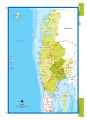
Phangnga, Thailand Map
336 miles away
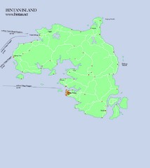
Bintan Island Map
Overview map of Bintan Island
340 miles away
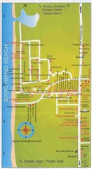
Bang Niang Beach Map
342 miles away
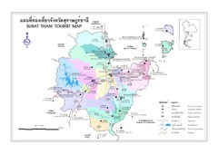
Surat Thani Map
Reference map of Surat Thani, Thailand. Shows roads and other major features. In Thai and English.
343 miles away
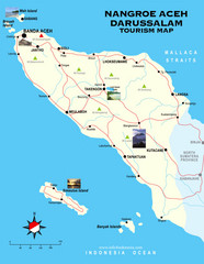
Nangroe Aceh Darussalam Tourist Map
Places of interest.
344 miles away
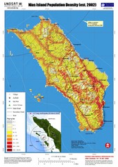
Nias Island Population Density Map
Density map for time of8.7 magnitude Earthquake March 28, 2005
346 miles away
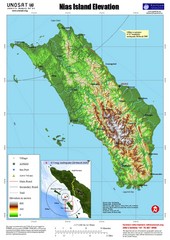
Nias Island Elevation and Earthquake Map
Elevation of Nias Island with details of March 2005 Earthquake.
346 miles away
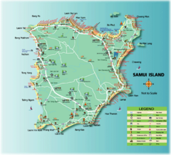
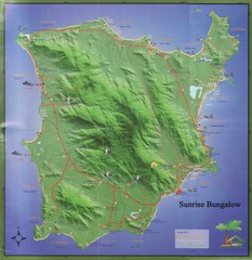
Samui Tourist Map
Tourist map of island of Samui, Thailand. Shows points of interest.
347 miles away
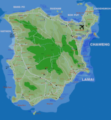
Koh Samui Island Map
Guide to Koh Samui hotels, beaches and temples
347 miles away
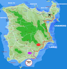
Ko Samui Hotel Map
347 miles away
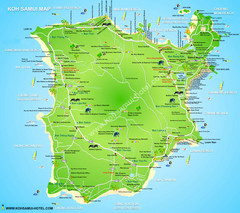
Ko Samui Tourist Map
347 miles away
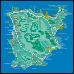
Koh Samui Map
347 miles away
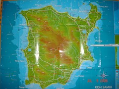
Ko Samui Tourist Map
Tourist map of island of Koh Samui, Thailand. From photo with pen on top.
347 miles away
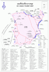
Koh Samui Island Tourist Map
347 miles away
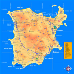
Samui Tourist Map
348 miles away
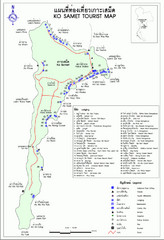
Ko Samet Tourist Map
Tourist map of Ko Samet province of Thailand. Shows points of interest and lodging.
355 miles away
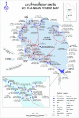
Koh Pha-Ngan Province Guide Map
362 miles away
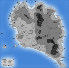
Phangan Island Tourist Map
Tourist map of Phangan Island, Thailand
362 miles away
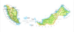
Malaysia Map
Map of Malaysia shows Malaya peninsula and Sarawak and Sabah
368 miles away
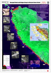
Aceh Damage Map
A detailed annotated satellite map, clearly showing the extent of the destruction along the most...
386 miles away
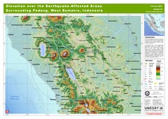
Elevation Over the Earthquake -Affected Areas of...
This map represents the range of elevation for the area affected by the 6.3 magnitude earthquake...
388 miles away
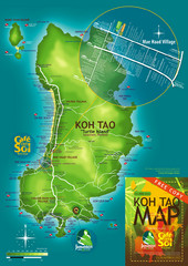
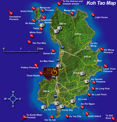
Koh Tao Tourist Map
An island famous for its diving
389 miles away
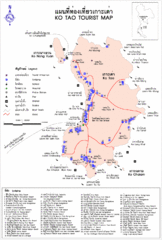
Ko Tao Province Map
389 miles away
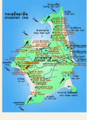
Phayam Island Tourist Map
400 miles away
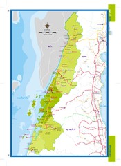
Ranong, Thailand Map
409 miles away
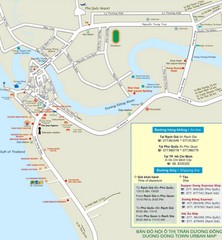
Duong Dong Town Map
Map of Duon Dong, Phu Quoc Island
434 miles away
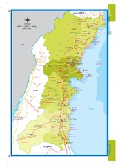
Chumphon Map
434 miles away
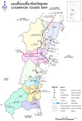
Chumphon Province Map
435 miles away

