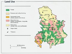
Serbia and Montenegro Land Use Map
Map of Serbia and Montenegro's land use
0 miles away
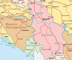
Interrail Routes for Serbia Map
Interrail Railway Routes for Serbia, Bosnia Hercegovina and Croatia.
0 miles away
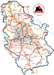
Serbia Road Map
Road map of Serbia, including major cities and locations.
0 miles away

East Central and Southeast Europe Nationality Map
Shows color-coded nationalities on map of central eastern and southeastern Europe. 1989-1992
15 miles away
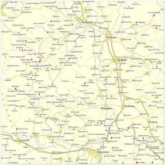
Monasteries in central Serbia (Levač area) Map
Levač is historic area in the central part of Serbia around Morava river.
21 miles away
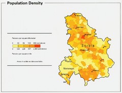
Serbia and Montenegro Population Map
Map of Serbia and Montenegro's population map
24 miles away
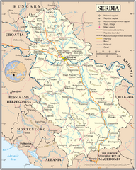
Serbia and surrounding area Map
Serbia in relation to surrounding regions.
31 miles away
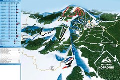
Ski Centar Kopaonik Ski Trail Map
Trail map from Kopaonik.
51 miles away
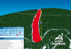
Ski Centar Divcibare Ski Trail Map
Trail map from Divcibare.
51 miles away
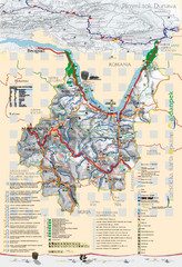
Majdanpek Tourist Map
Tourist map of municipality of Majdanpek, Serbia. Shows points of interest. In Serbian.
55 miles away
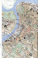
Belgrade Map
City map of Belgrade, Serbia (Beograd)
61 miles away

Arkabarka Hostel Location Map
61 miles away
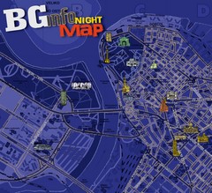
Belgrade Night Map
Tourist map of Belgrade, Serbia with recommendations for nightlife. Published quarterly in...
62 miles away
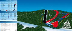
Ski Centar Zlatibor Ski Trail Map
Trail map from Zlatibor.
68 miles away
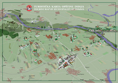
Indija Tourist Map
Tourist map of municipality of Indija, Serbia
85 miles away
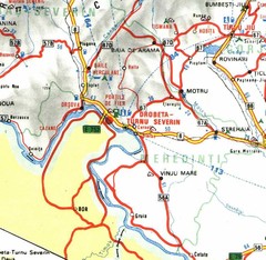
Mehedinti Map
91 miles away
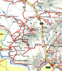
Caras-Severin Map
91 miles away
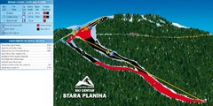
Ski Centar Stara Planina Ski Trail Map
Trail map from Stara Planina.
92 miles away
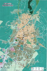
Pristina Tourist Map
Tourist map of Pristina, Kosovo.
93 miles away
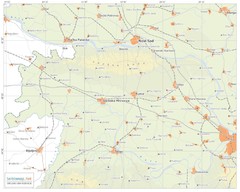
Urban areas in Srem region (Vojvodina, Serbia) Map
Srem is a part of Vojvodina province between river Sava and Danube. Largest places are Sremska...
96 miles away
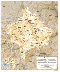
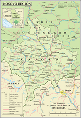
Kosovo province Map
Shaded relief map of Serbia’s Kosovo province, 1993
103 miles away
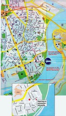
Novi Sad City Map
City map of central Novi Sad, Serbia. Bus route to a conference drawn on top of scanned map.
103 miles away
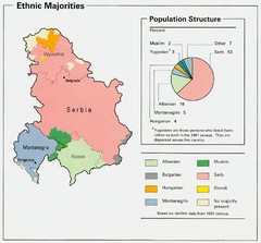
Serbia and Montenegro Ethnic Majorities Map
Map of ethnic majorities throughout Serbia and Montenegro
104 miles away

Temerin Map
111 miles away
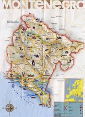
Montenegro Map
112 miles away

Central Balkan Map
Countries in Central Europe
113 miles away
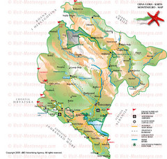
Montenegro Tourist Map
113 miles away
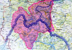
Proposed Balkans Peace Park Map
Shows the proposed Balkans Peace Park area which includes Albania to the South, Kosovo to the...
114 miles away
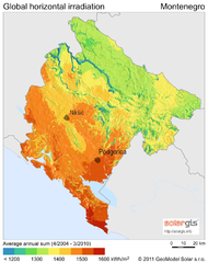
Solar Radiation Map of Montenegro
Solar Radiation Map Based on high resolution Solar Radiation Database: SolarGIS. On the Solar Map...
114 miles away

Bácsföldvár Map
115 miles away

Montenegro Tourist Map
116 miles away
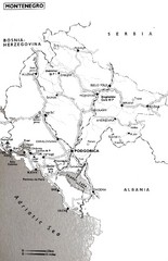
Montenegro Map
118 miles away
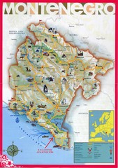
Montenegro tourist Map
119 miles away
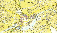
Timisoara Tourist Map
Tourist map of central TimiÅŸoara, Romania. Shows points of interest.
120 miles away
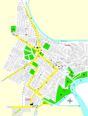
Óbecse Map
121 miles away
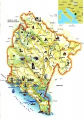
Montenegro tourist map
Illustrated tourist map of Montenegro.
122 miles away
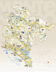
Montenegro Tourist Map
122 miles away

