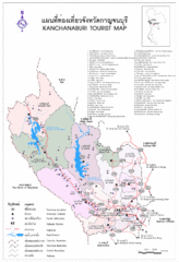
Kanchanaburi Tourist Map
Tourist Map of Kanchanaburi, Thailand showing tourist attractions, roads, cities and railways.
1149 miles away

Phra Nakhon Si Ayutthaya Tourist Map
Places of interest.
1149 miles away
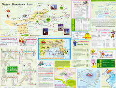
Dalian Tourist Map
Tourist map of Dalian, China. Inset maps show downtown Dalia, light rail, bus routes, and...
1149 miles away
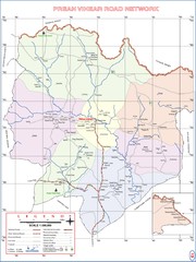
Preah Vihear Province Cambodia Road Map
Note: The road to Preah Vihear Temple was improved in 2009 for military access. As of late 2010...
1150 miles away
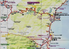
Taroko National Park Map
Places of interest.
1150 miles away

Taiwan Tourist Map
1150 miles away

Thailand Guide Map
1152 miles away
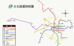
Taiwan Public Transportation Map
Main transportation in Taiwan
1153 miles away
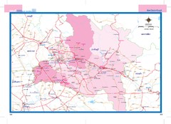
Prachinburi, Thailand Map
1153 miles away
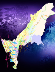
Kaohsiung County Traffic Guide Map
Major Arterial Road Map of Kaohsiung County, Taiwan
1155 miles away
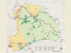
Yushan National Park Hiking Map
Trail map of Yushan National Park, Tawian. Home to highest mountain in Taiwan and East Asia...
1155 miles away
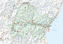
Taroko National Park Map
Map of Taroko National Park. Includes all trails, camp sites, accommodations, and attractions.
1157 miles away

Nakhon Nayok City Map
Destinations and locations in the Nakhon Nayok province of Thailand
1157 miles away
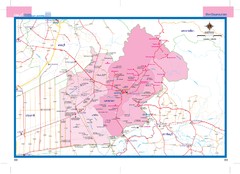
Nakhonnayok, Thailand Map
1158 miles away
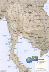
Thailand map
Overview of Thailand and surrounding countries
1163 miles away
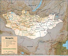
Mongolia Map
Map of Mongolia showing cities, provinces and mountains.
1164 miles away
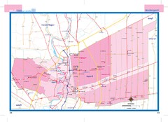
Pathumthani, Thailand Map
1167 miles away
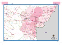
Sakaeo, Thailand Map
1169 miles away

Taipei Tourist Map
1169 miles away
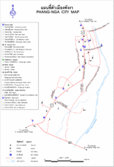
Phang Nga City Map
1170 miles away
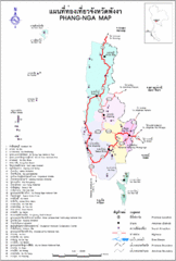
Phang Nga Province Guide Map
1170 miles away
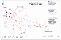
Sa Kaeo Tourist Map
Map of Sa Kaeo, Thailand showing hotels, temples and tourist attractions.
1170 miles away
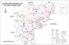
Sa Kaeo Thailand Tourist Map
Sa Kaeo Thailand Tourist Map showing tourist attractions, railways, roads.
1170 miles away
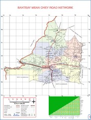
Banteay Mean Chey Province Cambodia Road Map
1170 miles away

East Rift Valley Map
1172 miles away
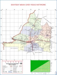
Banteay Mean Chey Province Cambodia Road Map
1175 miles away
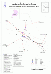
Aranyaprathet Tourist Map
Tourist map of Aranyaprathet region in Thailand. Shows points of interest. In English and Thai.
1176 miles away
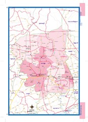
Nakhonpathom, Thailand Map
1177 miles away
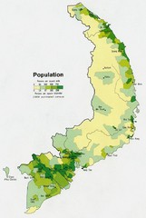
South Vietnam Population Map
Map marking population according to persons per square mile.
1177 miles away
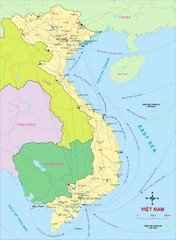
Vietnam Map
Country map of Vietnam. Shows neighboring countries.
1177 miles away

Rotanak Kiri Province Cambodia Road Map
1178 miles away
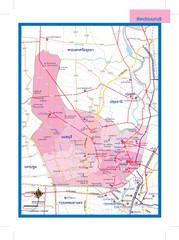
Nonthaburi, Thailand Map
1179 miles away
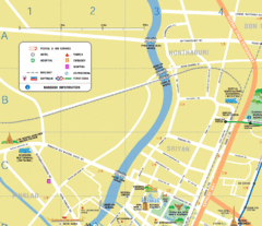
Nonthaburi, Thailand Guide Map
1179 miles away
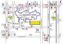
Nichada Thani Province Map
1179 miles away
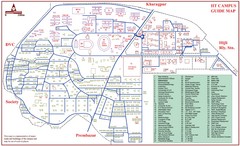
India Institute of Technology Campus Map
IIT Kharagpur Campus Guide Map
1183 miles away
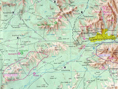
Khusain Nuruu National Park Map
1184 miles away

Stueng Traeng Province Cambodia Road Map
1185 miles away


