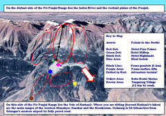
Gulmarg Ski Trail Map
Trail map from Gulmarg, which provides downhill skiing.
977 miles away
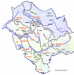
Himachil Tourist Map
978 miles away
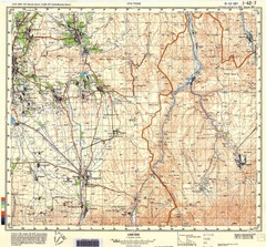
Ura Tube Region Topo Map
Topographical and road map of the Ura Tube, Tajikistan region. "Istaravshan (former Urateppe...
986 miles away
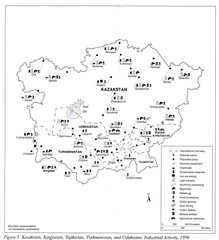
Central Asia Industrial Activity Map
Map of Kazakstan, Kyrgyzstan, Tajikistan, Turkmenistan, and Uzbekistan's industrial activity
986 miles away

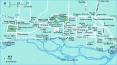
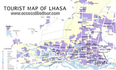
Lhasa Tourist Map
Shows major points of interest in city of Lhasa, Tibet.
996 miles away

Lhasa Tibet Tourist Map
Map of Lhasa, Tibet showing schools, hotels, places of interest and roads.
996 miles away
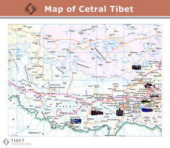
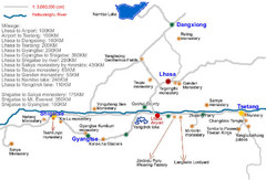
Central Tibet Map
996 miles away

Tibet Province Map
996 miles away

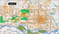
Lhasa City, Tibet Map
996 miles away
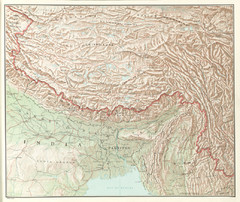
Tibet Region Physical Map
Physical map of Tibet region from the Communist China Map Folio, published by the US C.I.A. in 1967...
996 miles away
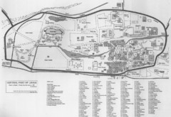
Lhasa Center Map
Map of central Lhasa from 1959. Drawn from the memory of Zasak J. Taring.
996 miles away
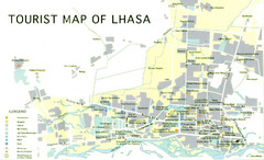
Lhasa Tourist Map
Places of interest. Government buildings.
997 miles away
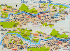
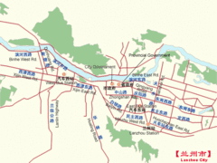
Lanzhou City Tourist Map
1011 miles away
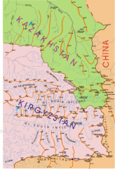
Kyrgyzstan and Central Asia Physical and...
Khan Tengri area maps
1031 miles away
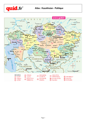
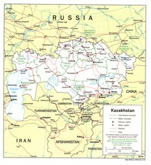
Kazakhstan Regional Map
Country map with detail of regional divides
1033 miles away
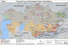
Kazakhstan Protected Areas Map
Shows protected regions and ecological values of Kazakhstan
1033 miles away
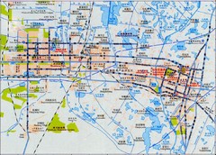
Yinchuan Map
City map of Yinchuan, China. In Chinese and English. Scanned.
1034 miles away
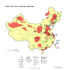
China Resources Map
Map of China's distribution of fuel, power, minerals, and metals
1036 miles away
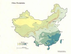
China Precipitation Map
Map of China with detail of precipitation distribution
1036 miles away
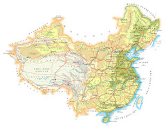
China Topographic Map
1036 miles away
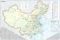
China Map
1036 miles away
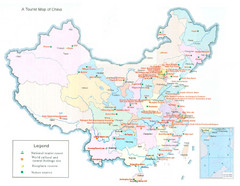
China Map
1036 miles away
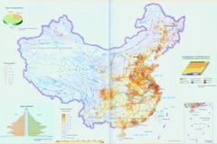
China Map
1036 miles away


