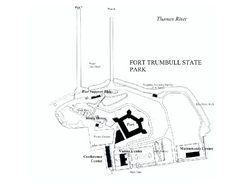
Fort Trumbull State Park map
Map of Fort Trumbull State Park in Connecticut.
0 miles away
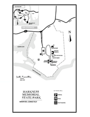
Harkness Memorial State Park map
Trail map of Harkness Memorial State Park in Connecticut.
3 miles away
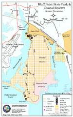
Bluff Point State Park map
Trail map for Bluff Point State Park and Coastal Reserve.
4 miles away
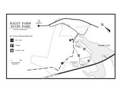
Haley Farm State Park map
Trail map of Haley Farm State Park in Connecticut.
4 miles away
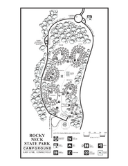
Rocky Neck State Park campground map
Campground map of Rocky Neck State Park in Connecticut.
8 miles away
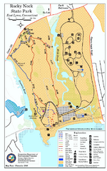
Rocky Neck State Park trail map
Trail map of Rocky Neck State Park in Connecticut.
8 miles away
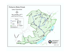
Nehantic State Forest map
Trail map of Nehantic State Forest in Connecticut.
12 miles away
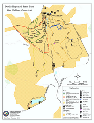
Devils Hophard State Park map
Trail and camprground map for Devils Hopyard State Park in Connecticut.
15 miles away
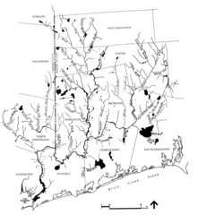
Rhode Island Coastal Watershed Map
Paddling Guide of Pawcatuck River Watershed
18 miles away
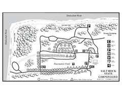
Salt Rock State Park campground map
Campground Map of Salt Rock State Campground in Connecticut.
18 miles away
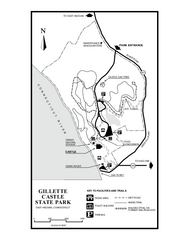
Gillette State Park trail map
Trail map of Gillette Castle State Park in Connecticut.
18 miles away
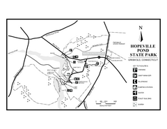
Hopeville Pond State Park trail map
Trail map for Hopevill Pond State Park in Connecticut
20 miles away
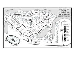
Hopeville Pond campground map
Campground map of Hopeville Pond State Park in Connecticut.
20 miles away
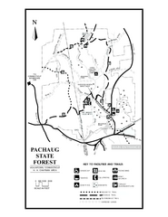
Pachaug State Forest map
Trail map of Pachaug State Forest in Connecticut.
20 miles away

Eastern Long Island Placemat map
Photo of a placemat map from Gosman's Dock Restaurant in Montauk, NY. Shows eastern Long...
21 miles away
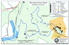
Daypond State Park map
Trail map for Day Pond State Park
22 miles away
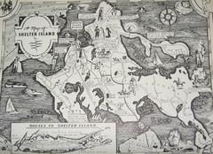
Shelter Island Map
Old Shelter Island map circa 1930s
22 miles away

Cockaponset State Forest South Section trail map
Trail map for the South Section of Cockaponset State Forest in Connecticut.
22 miles away
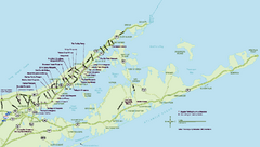
Long Island Wineries Map
Map of LIWC member wineries offering wine tastings to the public.
23 miles away

Salmon River State Forest trail map
Trail map for Salmon River State Forest in Connecticut.
23 miles away

Cockaponset State Forest North Section trail map
Trail map for the north section of Cockaponset State Forest in Connecticut
24 miles away

Hammonasset Beach State Park map
Trail map for Hammonasset Beach State Park in Connecticut.
24 miles away

Hammonasset Beach State Park campground map
Campground map of Hammonasset State Park in Connecticut.
25 miles away
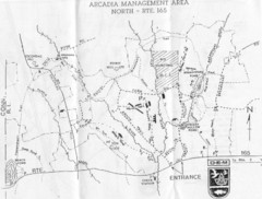
Arcadia Management Area State Map
Trail map for Arcadia Management Area in Rhode Island
25 miles away
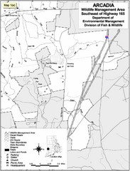
Arcadia Wildlife Management Area Map - Southeast
Reference map shows portion of Arcadia Wildlife Management Area, Rhode Island southeast of Highway...
25 miles away
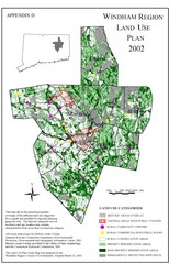
2002 Windham Region Land Use Map
Regional Land Use Guide Map for Planning Purposes
26 miles away
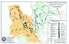
Chatfield Hollow State Park map
Trail map of Chatfield Hollow State Park
26 miles away
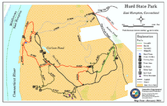
Hurd State Park trail map
Trail map for Hurd State Park in Connecticut.
26 miles away
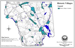
Historic Villages of Mansfield, Connecticut Map
Historical villages outlined on the map of the existing city.
27 miles away
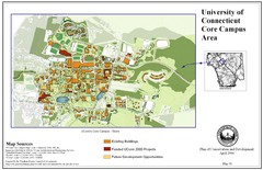
University of Connecticut Campus Map
Map shows current, funded projects and future development for UConn.
27 miles away
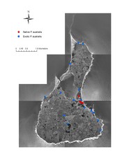
Native and Exotic Phragmites on Block Island Map
29 miles away
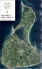
Block Island Aerial Map
Aerial map of Block Island, RI (New Shoreham, RI). True color orthophotography from August 2006.
29 miles away
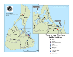
Block Island Road Map
Shows roads and major facilities on Block Island, RI (New Shoreham)
29 miles away
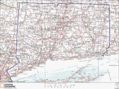
Connecticut State Parks Map
This is statewide map for Connecticut state parks. Go to the source website for detailed hiking...
30 miles away
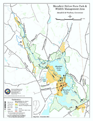
Mansfield Hollow State Park map
Map for Mansfield Hollow State Park and Wildlife Management Area in Connecticut.
30 miles away
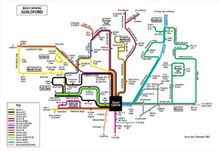
Guilford Bus Services Map
31 miles away
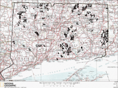
Connecticut State Forests Map
This is a map of all of the state forest boundaries in Connecticut. Follow the source web address...
31 miles away
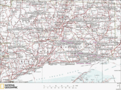
Connecticut Canoeing and Kayaking Lakes Map
A map of the lakes and ponds that are open for canoeing and kayaking in Connecticut. For detailed...
31 miles away

