Zhengua Park Map
851 miles away
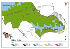
Singapore Island Nature Reserve Hiking Map
Nature reserve on Singapore island.
852 miles away
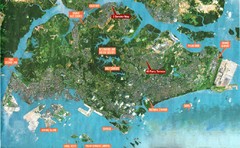
Singapore Map
852 miles away
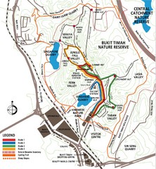
Bukit Timah Nature Reserve Map
Shows hiking and biking trails in Bukit Timah Nature Reserve in Singapore
852 miles away
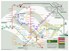
Singapore Future Railway System Map
Guide to the future railway system of Singapore
852 miles away
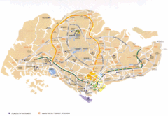
Singapore Map
Street level map of Singapore with transportation routes, tourist sites and parks marked.
853 miles away
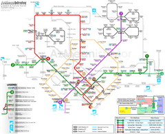
Downtown Singapore Transit Map
853 miles away
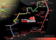
Sundown Marathon Route Map
Map of Adidas Sundown Marathon route for 2009
853 miles away
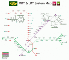
Singapore Transit Map
853 miles away
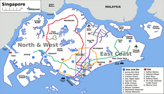
Singapore Map
853 miles away
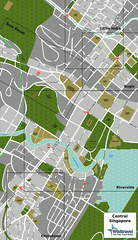
Singapore Tourist Map
853 miles away
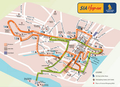
Singapore Airlines Hop On Bus Route Map
853 miles away
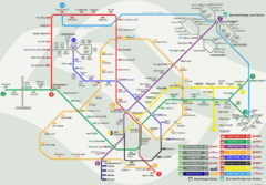
Singapore MRT Map
Map of Singapore MRT public transportation routes and stations.
853 miles away
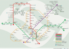
Singapore Metro System Map
Diagrammatic map of the Singapore metro system.
853 miles away

Changi Beach Park Map
853 miles away
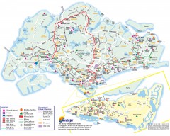
Singapore Tourist Map
Shows places of interest, MRT stations and routes, and shopping/ethnic districts. Inset of Sentosa...
854 miles away
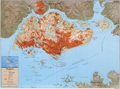
Singapore Built Up Area Map
Guide to developed areas of Singapore
855 miles away
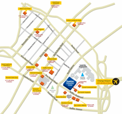
Serangoon Tourist Map
855 miles away
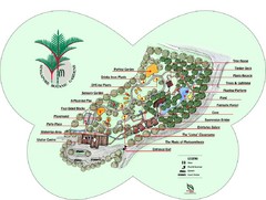
Singapore Botanic Gardens Map
Map of the Singapore Botanical Gardens. Shows the contents of the garden with locations of parking...
856 miles away
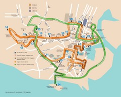
Singapore Tour Bus Map
856 miles away
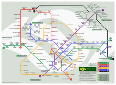
Singapore Rail Map
The easiest way to travel around Singapore, even from the airport!
857 miles away
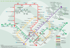
Bus Line Map
857 miles away
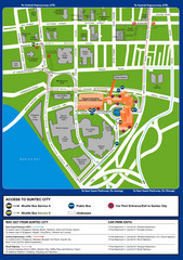
Suntec City map
858 miles away
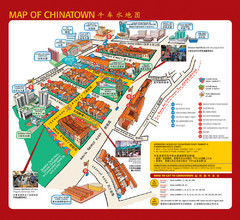
Singapore Chinatown Map
Map of the marktes, restaurants and hotels in Singapore's Chinatown.
858 miles away
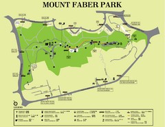
Mount Faber Park Map
Guide to Mount Faber Park in Singapore
858 miles away
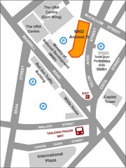
IP Academy Location Map
858 miles away
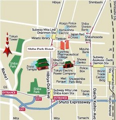
Shiba Park Tourist Map
863 miles away
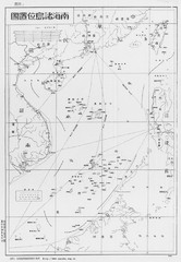
South China Sea Islands Map
870 miles away
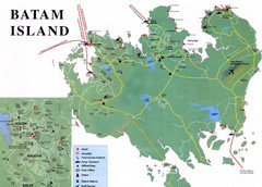
Batam Tourist Map
Tourist map of Batam island, Indonesia. Shows all ferry terminals, airport, and other useful info...
874 miles away
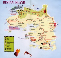
Bintan Island, Indonesia Beach Tourist Map
878 miles away
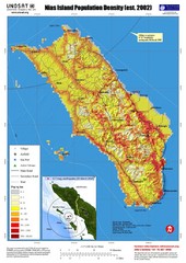
Nias Island Population Density Map
Density map for time of8.7 magnitude Earthquake March 28, 2005
879 miles away
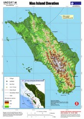
Nias Island Elevation and Earthquake Map
Elevation of Nias Island with details of March 2005 Earthquake.
879 miles away
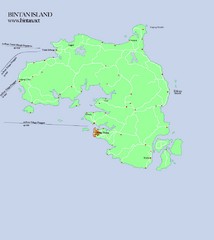
Bintan Island Map
Overview map of Bintan Island
887 miles away
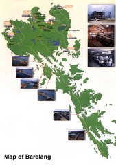
Barelang Bridge Map
Shows ferry terminals, airport, and chain of 6 bridges (with photos) known as the Barelang Bridge...
891 miles away
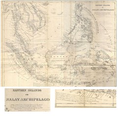
Eastern Islands Map
Antique map of the Eastern Islands or Malay Archipelago. Includes all islands, towns and detailed...
894 miles away
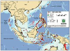
East Asian Sea Map
Map of the seas and oceans in East Asia. Includes color coded depths of the water and locations of...
901 miles away

Southeast Asia Map
907 miles away
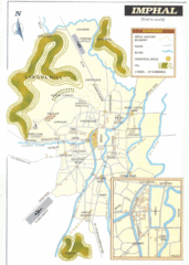
Imphal India Tourist Map
Tourist Map of Imphal City, India showing roads, tourist attractions and the airport.
914 miles away
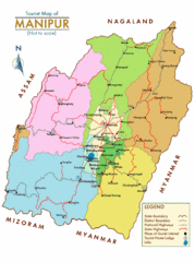
Manipur India Tourist Map
Tourist Map of Manipur, India showing tourist sites, roads and cities.
916 miles away

Bangladesh district Map
921 miles away

