Chiangrai, Thailand Map
458 miles away
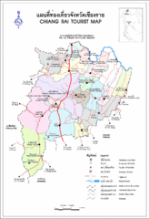
Chiang Rai Tourist Map
Tourist Map of the area around Chiang Rai, Thailand showing tourist attractions, roads, railways...
458 miles away

Pai Map
459 miles away

Laos National Protected Areas Map
Protected areas are shaded on the map of Laos.
460 miles away
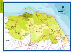
Pattani Map
462 miles away
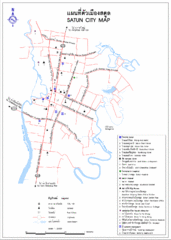
Satun City Map
City map of Satun with important landmarks
471 miles away
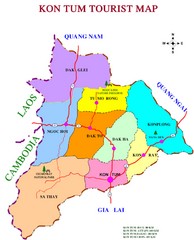
Kon Tum Road Map
Road map of Kon Tum, Vietnam region. (map says tourist map but more a road map)
472 miles away

Chiang Rai City Tourist Map
City map of Chiang Rai, Thailand showing hotels, temples, streets and tourist attractions.
478 miles away

Chiang Khong, Thailand - Huay Xai, Laos City Maps...
479 miles away
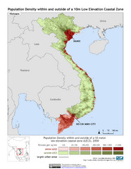
Vietnam 10m LECZ and Population Density Map
Low Elevation Coastal Zone and population desnsity within and outside of a 10 meter low evelevation...
479 miles away
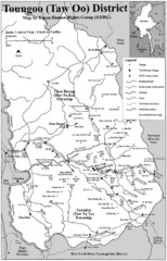
Toungoo District Map
Geographic map of Toungoo District of Burma
489 miles away
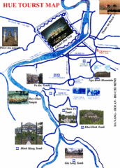
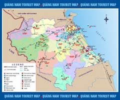
Hue Region Tourist Map
Tourist map of region around city of Hue, Vietnam. Shows photos of temples and tombs.
490 miles away
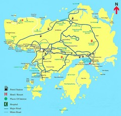
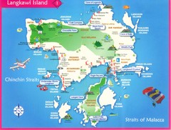
Langkawi Tourist Map
Tourist Map of Langkawi, places of interest.
490 miles away
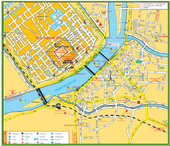
Hue Deluxe Group Tours Map
490 miles away
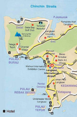
Langkawi Tourist Map
491 miles away
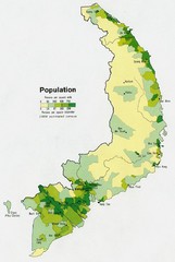
South Vietnam Population Map
Map marking population according to persons per square mile.
492 miles away
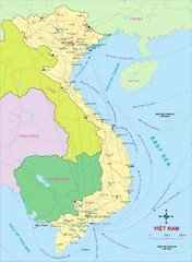
Vietnam Map
Country map of Vietnam. Shows neighboring countries.
492 miles away
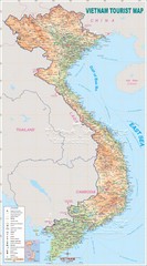
Vietnam Map
496 miles away
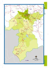
Yala, Thailand Map
496 miles away
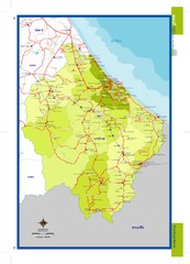
Narathiwat, Thailand Map
499 miles away
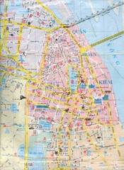
Vietnam Tourist Map
Landmarks, roads and areas in Vietnam
505 miles away
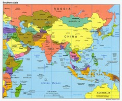
Southern Asia Map
Map of Southern Asia region
511 miles away

Ho Tuyen Lam Vietnam Map
Hand drawn map of the birding excursion taken in Ho Tuyen Lam, Vietnam with notes on the route and...
513 miles away
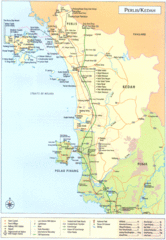
Perlis Kedah Tourist Map
Tourist map of state of Perlis-Kedah, Malaysia. Shows points of interest.
517 miles away
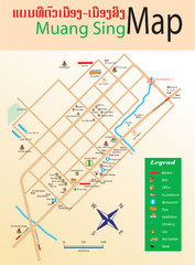
Muangsing City Map
City map of Muangsing with information
540 miles away
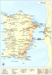
Penang Island Map
555 miles away
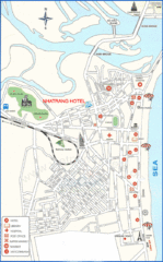
Nha Trang Hotel Map
559 miles away
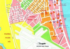
Nha Trang Hotel Map
Streets, roads and hotels are marked on this large map.
559 miles away
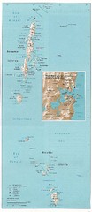
Andaman and Nicobar islands of India Map
Andaman & Nicobar islands, India Map showing citiies, roads, elevations, ports and airports.
562 miles away
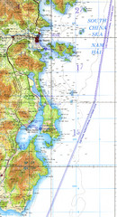
Cam Ranh Bay Topo Map
Topo map of Cam Ranh Bay, Vietnam on the South China Sea
564 miles away

Pu Luong Nature Reserve Map
564 miles away
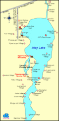
Inlay Lake Map
Map of the Inlay Lake and its surrounding area.
568 miles away
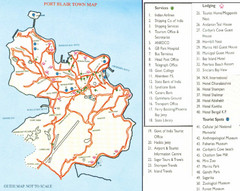
Port Blair Town Map
568 miles away
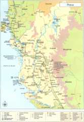
Perak Tourist Map
Tourist map of Perak, Malaysia
571 miles away
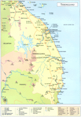
Terengganu Map
588 miles away

