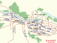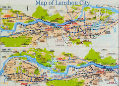
Lanzhou City Tourist Map
939 miles away
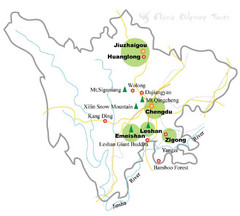
Chengdu China Cities Map
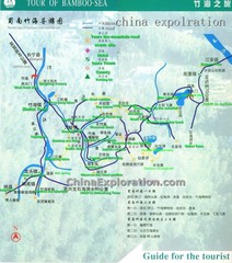
Hand drawn map of Chengdu, China showing cities and forests.
939 miles away
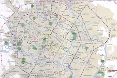
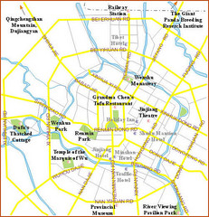
Chengdu TouristMap Map
939 miles away
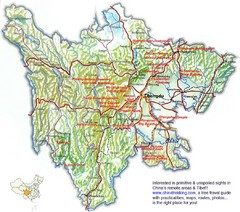
Sichuan Guide Map
939 miles away

Issyk Kul Map
941 miles away
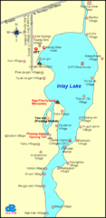
Inlay Lake Map
Map of the Inlay Lake and its surrounding area.
947 miles away
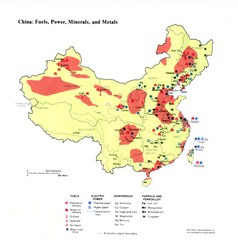
China Resources Map
Map of China's distribution of fuel, power, minerals, and metals
955 miles away
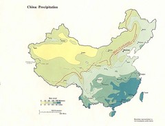
China Precipitation Map
Map of China with detail of precipitation distribution
955 miles away
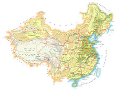
China Topographic Map
955 miles away
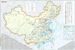
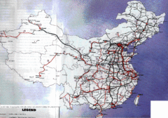
China Map
955 miles away
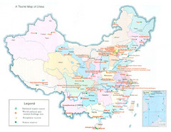
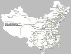
China Map
955 miles away
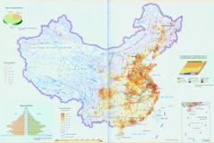
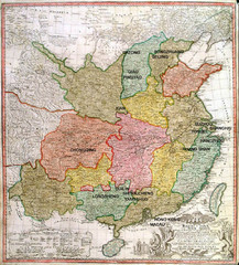
China Map
955 miles away
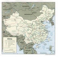
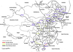
China Map
Map of China shoring cities, roads, railways and borders.
955 miles away
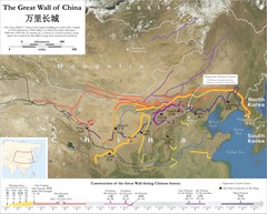
Great Wall of China Map
Map shows the construction of the Great Wall of China during Chinese history. The Great Wall is...
955 miles away
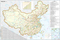
China Motorway Map
Map of China's motorways. In Chinese.
955 miles away
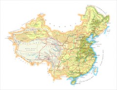
China Physical Relief Map
Physical relief map of China. In English.
955 miles away

Languages of Pakistan Map
961 miles away

Pakistan new provinces map
new suggested provinces of pakistan Only on the basis of administration not on caste or language.
964 miles away
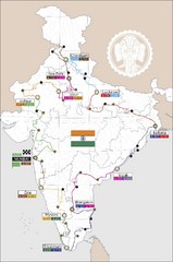
India Transportation Map
969 miles away

India Tourist Map
969 miles away

India Map
969 miles away

India Tourist Map
Map of India showing cities, roads, state boundaries and heritage sites.
969 miles away

India Tourist map
Map of India showing tourist centers, places of interest, cities and roads.
969 miles away
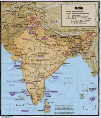
India Map
Tourist Destinations highlighted on India map. Map contains cities, major roads, railways and...
969 miles away

India Map
Map of India showing major cities and roads.
969 miles away

India Tourist Map
Simple map of India showing tourist sites with a star, cities, borders and airports.
969 miles away
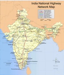
India Roadway Map
India National Highway Network Map
969 miles away
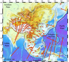
Horizontal Surface Motions map
This map illustrates the horizontal surface motions of sites in Asia. Eric Calais, a Purdue...
969 miles away
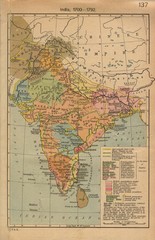
18th century India Map
969 miles away
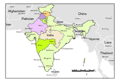
Political Map of India, Fully Editable in...
Political Map of India with boundaries of few Western and Northern states. Major cities have been...
969 miles away
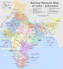
India Railway Network Schematic Map
Schematic rail map of India showing trunk and other routes.
969 miles away

