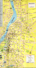
Kurigram District Map
452 miles away
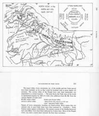
Kirata (Nepal) and North India in the middle and...
Kirata (Nepal) and North India map including tribes, rivers, mountains.
462 miles away
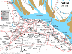
Patna City Tourist Map
472 miles away
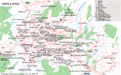
Shillong City Map
Streets, points of interest and more are clearly labeled on this map and legend.
489 miles away
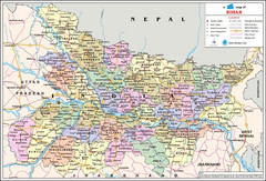
Bihar Travel Map
Bihar, India Travel Map showing cities, states, roads and railways.
491 miles away
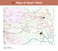
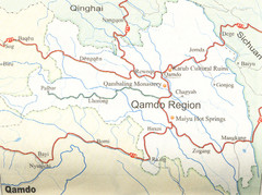
Map of East Tibet X
512 miles away
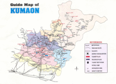
Kumaon Map
538 miles away
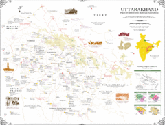
Uttarakhand Historical Map
Places of interest and historical annotations in state of Uttarakhand, India
542 miles away

Bangladesh 1998 flood map
547 miles away

Bangladesh simplified geology Map
551 miles away
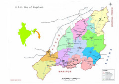
Nagaland Tourist Map
Tourist map of state of Nagaland, India. Shows tourist destinations and roads.
554 miles away

Bangladesh Agro Ecological zones Map
560 miles away
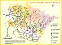
Uttarakhand Tourist Map
561 miles away
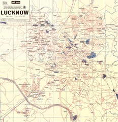
Lucknow City Map
City map of Lucknow, India.
561 miles away
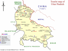
Uttar Pradesh Tourist Map
562 miles away

Bangladesh Tourist Center Map
Map of tourist centers, Bangladesh.
581 miles away
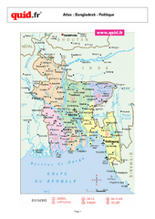
Bangladesh Regional Map
Country map with detail of regional divides
581 miles away
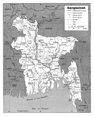
Bangladesh Map
Bangladesh Map showing cities, borders and rivers
581 miles away
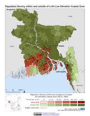
Bangladesh 5m LECZ and Population Density Map
Population densite within and outside of a 5 meter low elevation coastal zone
581 miles away

Bangladesh Map
Bangladesh country map, shows physical relief
581 miles away
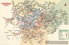
Tourist Guide Map
Tourist Guide Map of Hindu Pilgrimage Site
587 miles away
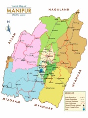
Manipur India Tourist Map
Tourist Map of Manipur, India showing tourist sites, roads and cities.
599 miles away
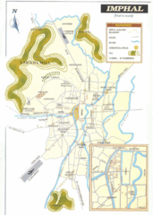
Imphal India Tourist Map
Tourist Map of Imphal City, India showing roads, tourist attractions and the airport.
600 miles away

Central Asia: Major Muslim Ethnic Groups Regional...
608 miles away
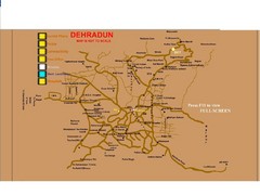
Dehradun City Map
City map of Dehradun with colleges and schools
613 miles away
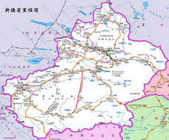
Xinjiang Road Map
Road map of Xinjiang province, China. In Chinese and English.
630 miles away
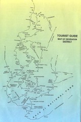
Tourist Guide of Dehradun District India Map
Hand drawn map of Dehradun District, India showing distances, roads, towns and Raja Ji National...
630 miles away
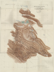
Eastern Tibet Map, 1900
Kozlov map of Eastern Tibet, 1900. In Russian. Scanned.
634 miles away
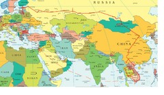
Partial Europe, Middle East, Asia, Partial Russia...
Map that shows the Eastern half of Europe, the Southern half of Russia, the Northern half of Africa...
640 miles away

Bangladesh district Map
641 miles away
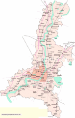
Kolkata City Map
City Map of Kolkata with railroad stops
643 miles away
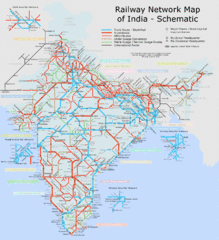
India Railway Schematic Map
India's main transportation system
644 miles away
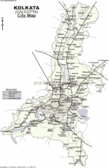
Kolkata City Map
644 miles away
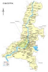
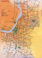
Calcutta Map
644 miles away
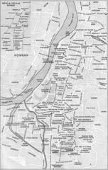
Kolkata Guide Map
644 miles away

