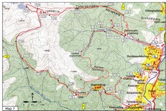
Dechenphu Valley, Thimphu Map
311 miles away
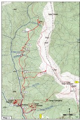
Trails near Cgagri monastery, Thimphu Map
trails near Chagri monastery Thimphu, Bhutan
312 miles away
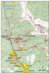
Trails near Tango Monastery, Thimphu Map
Trails around Tango Monastery, Thimphu, Bhutain
312 miles away
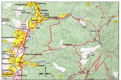
Dechencholing to Sinchula, Thimphu Map
Dechencholing,Kabisa
312 miles away
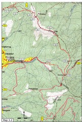
Droley Gonpa trail, Thimphu Map
312 miles away

Trail to Bimelang Lake, Thimphu Map
Bimelang Lake Trail
314 miles away
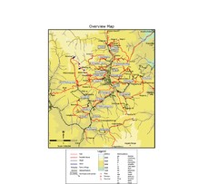
Thimphu trekking trails Map
Overview map of day hikes around Thimphu, Bhutan
314 miles away
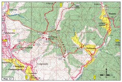
Trail from Yangchenphug HS to Thadranang and...
Yangchenphug high school to Thadranang, Oselpang near Hongtso
315 miles away
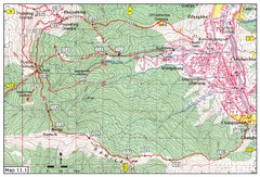
Trail fom Youth Center Thimphu to Pumola...
Way to Pumola monastery
315 miles away
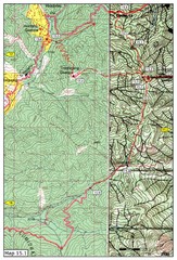
Dochula to Lungchuzekha Gonpa trail map 1
Dochula to Lungchuzekha Gonpa trail . Near Thmphu,Bhutan
315 miles away
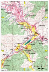
Khasadrapchu to Thimphu trail pt 2 Map
Khasadrapchu to Thimphu trail part 2. (Rama to Thimphu)
316 miles away
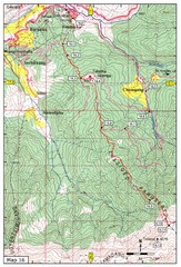
Simtokha-Talakha trail near Thimphu Map
Simtokha to Talakha trail
316 miles away
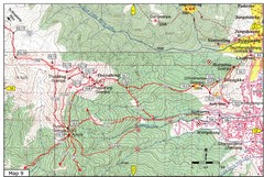
Dechenphodrang and Pajoding, Thimphu Map
Dechenphodrang to Pajoding, Tujedrag and Pumola monastaries
316 miles away
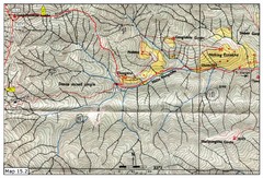
Dochula to Lungchuzekha Gonpa trail map 2
317 miles away
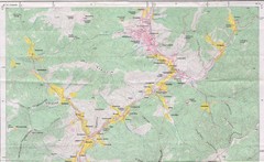
Old Map of Thimphu 1
318 miles away
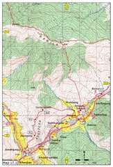
Khasadrapchu to Thimphu trail pt 1 Map
321 miles away
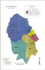
Haa Dzongkhag, Bhutan Road Map
321 miles away
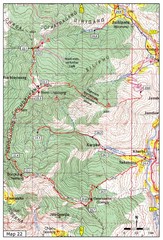
Trail to Bemri Lhakhang Map
Trail to Bemri Lhakhang south of Thimphu
323 miles away
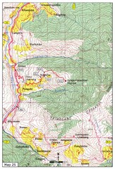
Trail from Sisina to Kunzangdechen monastery Map
Sisina to Kunzangdechen trail
324 miles away
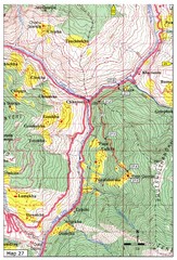
Trail to Paga Monastery Map
Trail to Paga Monastery near Chudzomtsa
326 miles away
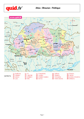
Bhutan Regional Map
Map of country with detail of regional divides
329 miles away
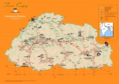
Bhutan Tourist map
Bhutan tourism map from the Bhutan Department of Tourism. Shows roads, trekking routes, campsites...
329 miles away
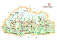
Bhutan physical Map
334 miles away
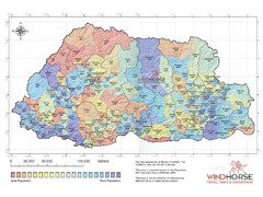
Bhutan population Map
337 miles away
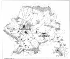
Kathmandu Valley Map
338 miles away
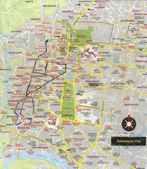
Kathmandu City Tourist Map
Tourist Map of Kathmandu, Nepal showing tourist attractions, streets, walking route and trolley...
338 miles away
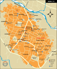
Patan Lalitpur, Nepal Guide Map
339 miles away
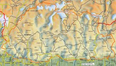
Bhutan road Map
340 miles away
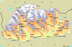
Bhutan Map
340 miles away
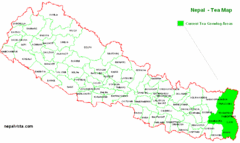
Nepal Tea Growing Regions Map
344 miles away
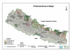
Nepal Protected Areas Map
344 miles away
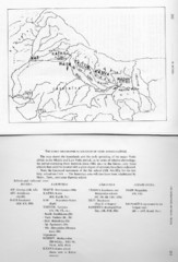
Early Geographical Locations of Vedic Schools Map
The map shows the homelands and the early spreading of the major Vedic sakhas in hte Middle and...
344 miles away
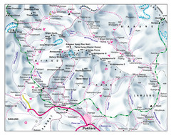
Gandaki Mountain Trail Map
Map of hiking trails for Gandaki Moutain range, Nepal.
346 miles away
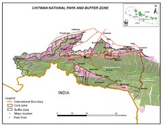
Royal Chitwan National Park Nepal Map
378 miles away
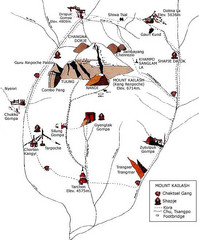
Mt. Kailash Hiking Map
Hiking on a sacred mountain.
412 miles away
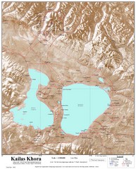
Kailash (Feng) Mountain Map
Kailash is locally more known as Kangrinboqe (Feng). It is the highest mountain in the western part...
414 miles away
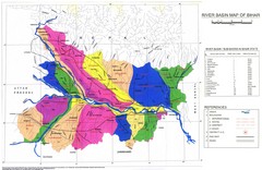
River Basin of Bihar Map
River Basin's shown in color on Map
431 miles away


