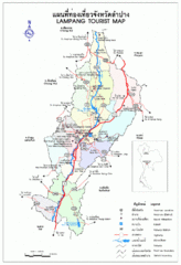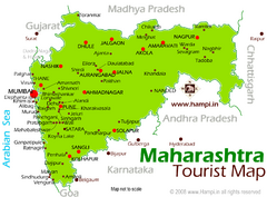
Maharahtra Tourist Map
1144 miles away
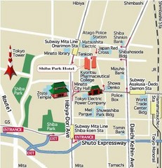
Shiba Park Tourist Map
1145 miles away

Karjat Region Map
1145 miles away
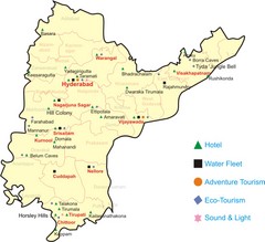
Andhra Pradesh Tourist Map
A Tourism Map of Andhra Pradesh,India with major tourist attractions and the facilities available...
1146 miles away
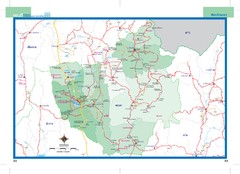
Phayao, Thailand Map
1149 miles away

Pak Beng city map
1152 miles away
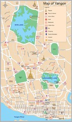
Yangon Map
1154 miles away
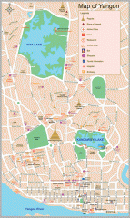
Yangon Myanmar or Rangoon Burma city map
City map of downtown Yangon, Myanmar aka Rangoon, Burma. Shows points of interest and major pagodas.
1154 miles away
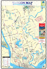
Yangon Tourist Map
Tourist map of Yangon, Myanmar. Also known as Rangoon. Shows pagodas and other points of interest.
1155 miles away
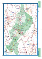
Lampang, Thailand Map
1156 miles away
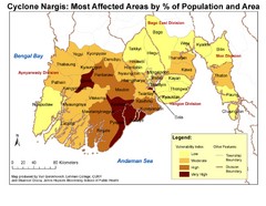
Cyclone Nargis Affected Area Map
Cyclone Nargis Vulnerability Estimates by Township
1156 miles away
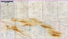
Gobi Gurvan Sayhan National Park Tourist Map
Tourist map of the Gobi Gurvan Sayhan National Park (also called Govi Gurvan Sayhan). Shows points...
1159 miles away
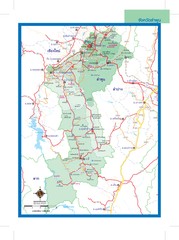
Lamphun, Thailand Map
1162 miles away
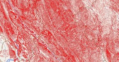
LAVP : Launch a Village Project Map
Reaching the Hill-tribes in northern Thailand. http://www.itdp.co.cc
1165 miles away
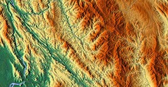
LAVP : Launch a Village Project Map
Reaching the Hill-tribes in northern Thailand http://www.itdp.co.cc
1165 miles away
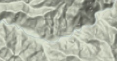
LAVP : Launch a Village Project Map
Reaching the Hill-tribe in northern Thailand http://www.itdp.co.cc
1165 miles away
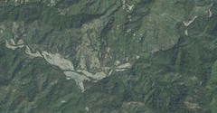
LAVP : Launch a Village Project Map
Reaching the Hill-tribe in northern Thailand
1165 miles away
![AFG Afghanistan_pop72[1] Map AFG Afghanistan_pop72[1] Map](/maps/AFG-Afghanistanpop721-Map.thumb.jpg)
AFG Afghanistan_pop72[1] Map
1167 miles away
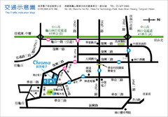
Hwa-Ya Technology Park Map
1169 miles away
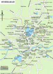
Hyderabad Tourist Map
1174 miles away
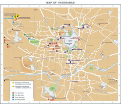
Hyderabad Hotel Map
1174 miles away
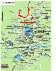
Hyderabad Tourist Map
1174 miles away
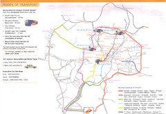
Hyderabad Transportation Map
1174 miles away
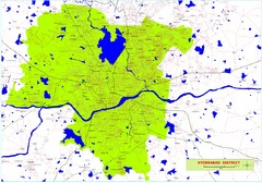
Hyderabad District Map
District map of Hyderabad, India
1174 miles away
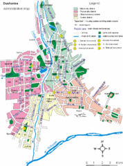
Dushanbe City Map
1190 miles away
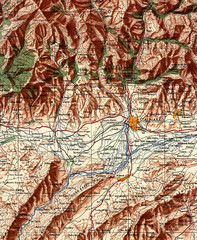
Stalinabad 1956 Map
Road Map of Area around Dushanbe formerly Stalinabad.
1190 miles away
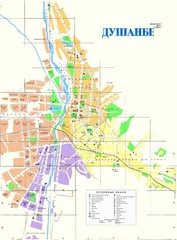
Dushanbe City Map
City map of Dushanbe, Tadjikistan. In Russian.
1190 miles away
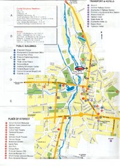
Dushanbe Tourist Map
Tourist map of Dushanbe, Tajikistan. Shows hotels, public buildings, transport, and places of...
1191 miles away
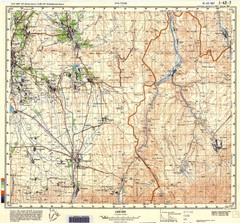
Ura Tube Region Topo Map
Topographical and road map of the Ura Tube, Tajikistan region. "Istaravshan (former Urateppe...
1192 miles away
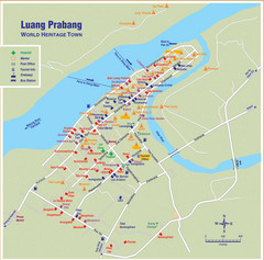
Luang Prabang City Map
Luang Prabang City Map with hotels
1196 miles away

Luang Praban Area map
1196 miles away

Louangphrabang Tourist Map
1196 miles away
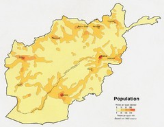
Afghanistan Population Map
1199 miles away
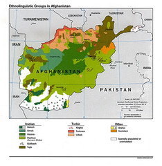
Afghanistan Entholinguistic Map
1199 miles away
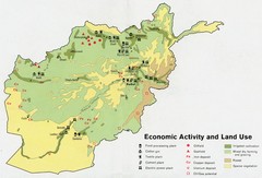
Afghanistan Economic and Land Use Tourist Map
1199 miles away
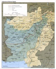
Afghanistan-Pakistan Border Map
1199 miles away
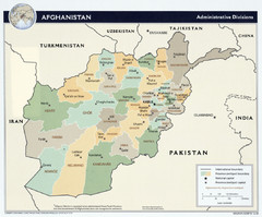
Afghanistan Tourist Map
1199 miles away
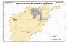
Afghanistan Shaded Relief Index Map
Index Map for the ASTER-Derived 30-Meter-Resolution Digital Elevation Models of Afghanistan.
1199 miles away
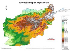
Afghanistan Elevation Map
Elevation map of Afghanistan
1199 miles away

