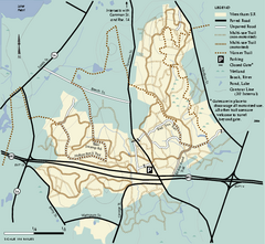
Wrentham State Forest trail map
Trail map of Wrentham State Forest in Massachusetts.
0 miles away
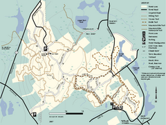
F. Gilbert Hills State Forest trail map
F. Gilbert Hills State Forest trail map in Massachusetts.
3 miles away
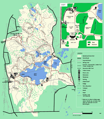
Borderland State Park trail map
Trail map of Borderland State Park in Massachusetts
9 miles away
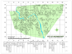
Woonsocket Street Map
Street map of Woonsocket, Rhode Island. Shows street legend.
9 miles away
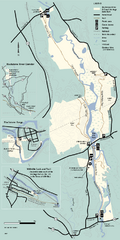
Blackstone Trail Map
Map of Blackstone River State Park in Massachusetts.
11 miles away
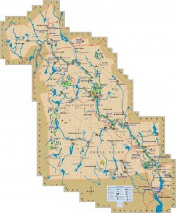
Blackstone Valley tourist map
Tourist map of the Blackston Valley in Rhode Island and Massachusetts. Shows hiking, biking, and...
12 miles away
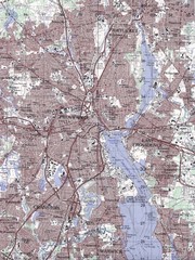
Providence Topo Map
Topo map of Providence, East Providence, Cranston, and Pawtucket, RI. Original scale 1:50,000
14 miles away
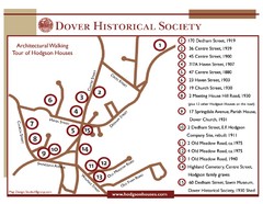
Dover Architectural Walking Map
Architectural walking tour of Hodgson Houses
15 miles away
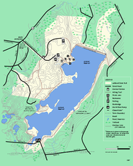
Ashland State Park Map
Map of Ashland State Park in Massachusetts.
15 miles away
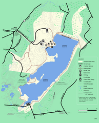
Ashland State Park Map
Clear map and legend marking trails, parking, facilities and more.
15 miles away
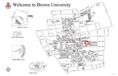
Brown University Map
15 miles away
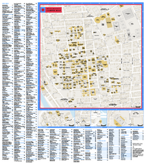
Brown University Campus Map
Official campus map of Brown University.
16 miles away
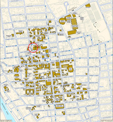
Providence, Rhode Island City Map
16 miles away
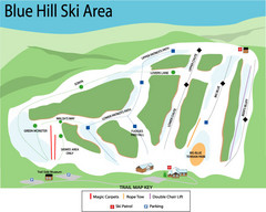
Blue Hills Ski Area Ski Trail Map
Trail map from Blue Hills Ski Area.
16 miles away
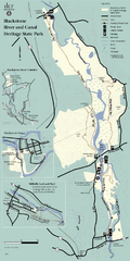
Heritage State Park Map
Clear state park map marking trails and facilities.
16 miles away
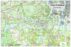
Ashland, MA - Topo Map
Map is provided by the town of Ashland, MA. See town's website for additional maps and...
16 miles away
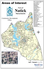
Natick Areas Of Interest Map
Shows points of interest in town of Natick, Massachusetts. Inset of downtown Natick.
17 miles away
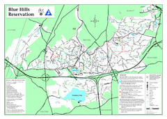
Blue Hills State Park Map
Clearly marked state park map of this beautiful state park.
17 miles away
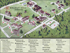
Walnut Hill School Map
Campus Map
17 miles away
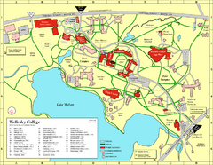
Wellesley College campus map
2008 Wellesley College campus map
17 miles away
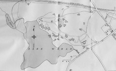
1899 Map of Wellesley College
After College Hall, the original site of Wellesley's faculty, students, classrooms, and...
17 miles away
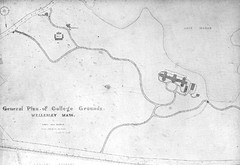
1870s Map of Wellesley College
General plan of college grounds, 1870s.
17 miles away
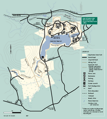
Hopkinton State Park trail map
Trail map of Hopkinton State Park in Massachusetts
17 miles away
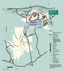
Hopkinton State Park trail map
Trail map of Hopkinton State Park in Massachusetts
17 miles away
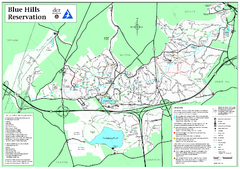
Blue Hills Reservation Trail Map
Trail map of the Blue Hills Reservation in Massachusetts
17 miles away
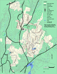
Upton State Forest trail map
Trail map for Upton State Forest in Massachusetts.
18 miles away
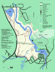
Cutler Park Reservation trail map
Trail map of Cutler Park Reservation in Massachusetts
18 miles away
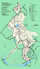
Stony Brook Reservation trail map
Trail map of the Stony Brook Reservation in Massachusetts.
18 miles away
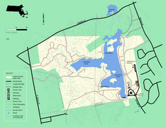
Ames Nowell State Park Map
Simple map of this beautiful state park. Visit and hike, bike, and shop!
18 miles away
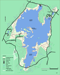
Whitehall State Park trail map
Trail map of Whitehall State Park in Massachusetts.
18 miles away
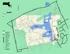
Ames Nowell State Park Map
Trail map of Ames Nowell State Park in Massachusetts
18 miles away
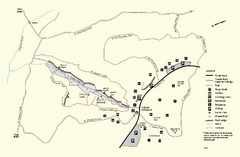
Purgatory Chasm State Reservation trail map
Trail map of Purgatory Chasm State Reservation in Massachusetts.
20 miles away
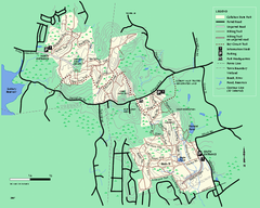
Callahan State Park trail map
Trail map of Callahan State Park in Massachusetts
21 miles away
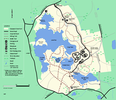
Massasoit State Park trail map
Trail map of Massasoit State Park in Massachusetts
21 miles away

Jamaica Plain Bus Route Map
21 miles away
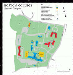
Boston College Newton Campus Map
campus map for Boston College Newton Campus
22 miles away
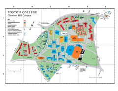
Boston College Main Chestnut Hill Campus Map
The main campus of Boston College, Chestnut Hill. Grid Map with Building Table
22 miles away
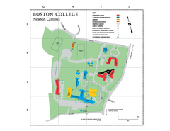
Boston College - Newton Campus Map
Boston College - Newton Campus Map. Shows all buildings.
22 miles away
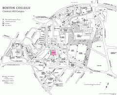
Boston College Chestnut Hill Campus Map
campus map for Boston College's Chestnut Hill Camps
22 miles away
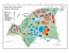
Boston College - Chestnut Hill Campus Map
Boston College - Chestnut Hill Campus Map. Shows all buildings.
22 miles away

