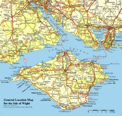
Isle of Wight Map
Based on 1950's map with no motorways
145 miles away

Bournemouth bus tour map
Bournemouth bus tour map - City Sightseeing
146 miles away
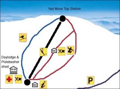
Yad Moss Sketch Ski Trail Map
Trail map from Yad Moss.
146 miles away
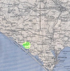
Dorchester, England Region Map
147 miles away
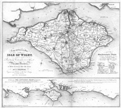
Isle of Wight Map
148 miles away
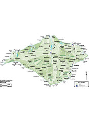
Isle of Wight Map
148 miles away
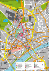
Newcastle Upon Tyne City Map
City map of Newcastle Upon Tyne with tourist information and some of Gateshead
148 miles away
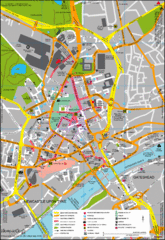
Newcastle City Map
City center map of Newcastle Upon Tyne, UK
149 miles away
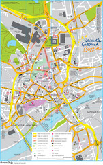
Newcastle Tourist Map
Tourist map of central Newcastle Upon Tyne, UK. Shows points of interest.
149 miles away
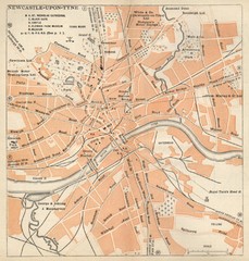
Newcastle upon Tyne Map
1920 Michelin Map to Newcastle upon Tyne, UK
149 miles away
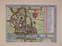
1611 Newcastle-Upon-Tyne Historic Map
Guide to historic Newcastle upon Tyne
149 miles away
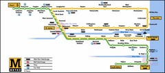
Newcastle Metro System Map
149 miles away
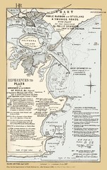
1857 Poole Harbor Map
Guide to the peninsula and improvements in the Harbor
149 miles away
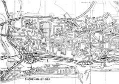
Shoreham-by-Sea, England City Map
149 miles away
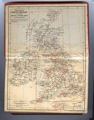
1910 Great Britain Map
149 miles away
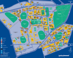
Camperdown Tourist Map
Guide map for Camperdown and Darlington, United Kingdom
150 miles away
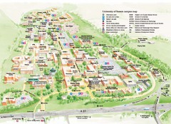
University of Sussex Campus Map
Official campus map of University of Sussex. Shows campus buildings and points of interest.
151 miles away
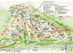
University of Sussex Campus Map
151 miles away
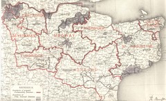
Kent, England County Map
151 miles away
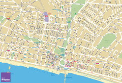
Brighton Tourist Map
Street map of Brighton, UK. Shows gay points of interest.
152 miles away
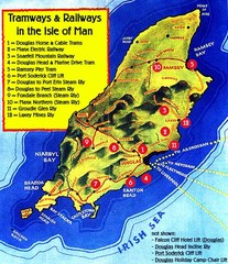
Isle of Man Railways and trams Map
153 miles away
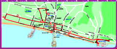
Brighton bus tour map
Brighton bus tour map - City Sightseeing
153 miles away
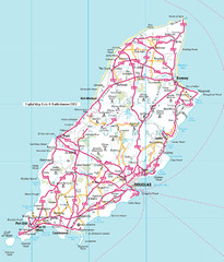
Isle of Man roads Map
153 miles away
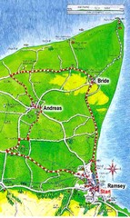
Ramsey, Isle of Man City Map
153 miles away
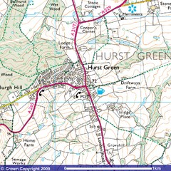
Hurst Green, England City Map
154 miles away
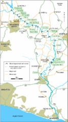
East Sussex, England City Map
154 miles away
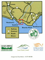
East Sussex, England Bus System Route Map
154 miles away
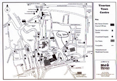
Tiverton Town Center Map
Black and white map shows major streets in Tiverton, Devon.
155 miles away
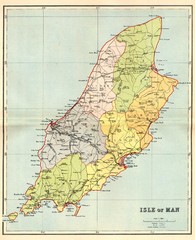
Isle of Man Map
155 miles away
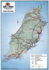
Isle of Man Transportation Map
155 miles away
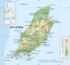
Isle of Man Topo Map
Topographical map of the Isle of Man showing roads, rail tracks, geographic features, and towns...
155 miles away
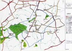
Hoath Town Map
Handwritten map of town of Hoath, England near Canterbury.
157 miles away
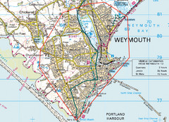
Weymouth, England Region Map
157 miles away
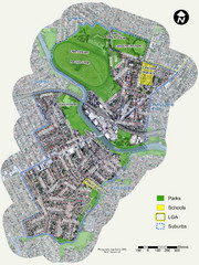
Canterbury Map
Map of parks, main streets, etc.
157 miles away
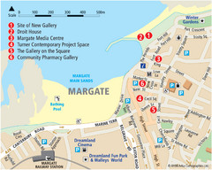
Margate Tourist Map
Tourist map of Margate, England.
162 miles away
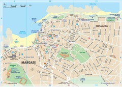
Margate TouristMap Map
163 miles away

Thanet Isle Map
1809 Guide to Thanet Isle in Britain
163 miles away

England Tourist Map
Cities and countries in England
163 miles away

