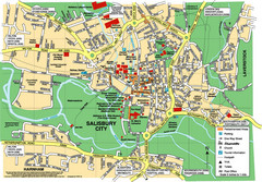
Salisbury City Map
Map of Salisbury City
122 miles away
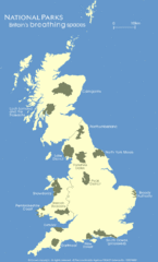
UK National Park Map
Shows locations of all national parks in the United Kingdom.
122 miles away
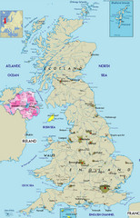
Northern Ireland Political Map
Guide to Northern Ireland and major cities in the United Kingdom
122 miles away
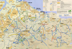
Redcar & Cleveland Horse Riding Routes Map
Horseriding route map of Redcar & Cleveland area, England shows public bridleways, public...
123 miles away
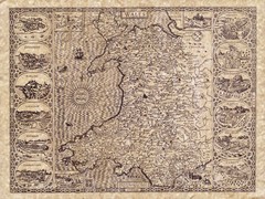
Old Maps - Wales Map
Includes illustrations of individual Welsh county towns.
124 miles away
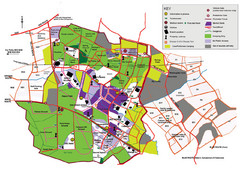
2008 Glastonbury Festival Guide Map
125 miles away
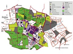
Glastonbury, England Festival Park Map
The park layout in Glastonbury, England
125 miles away
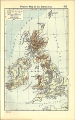
1911 British Isles Physical Map
Guide to physical features of the United Kingdom, then known as the British Isles
125 miles away
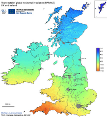
United Kingdom Solar Radiation Map
Guide to yearly total of global horizontal solar irradiation
127 miles away
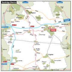
Tandridge District, England Region Map
128 miles away
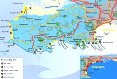
Swansea Area Tourist Map
129 miles away
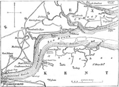
River Thames Map
Map of Thames from Gravesend to Canvey Island
129 miles away
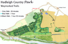
Hadleigh Country Park Map
3 walks, each color coded according to the estimated time it would take to complete each trek...
129 miles away
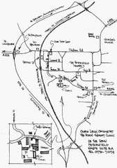
Petersfield, London Map
129 miles away
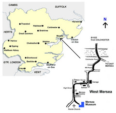
West Mersea Island Museum Map
130 miles away
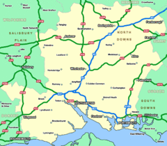
Southhampton Area Hotel Map
130 miles away
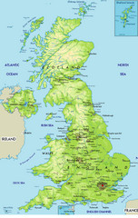
United Kingdom Physical Map
Guide to topography and physical features of Great Britain
131 miles away
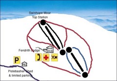
Swinhope Moor Sketch Ski Trail Map
Trail map from Swinhope Moor.
132 miles away
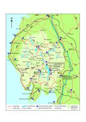
Lake District National Park Map
Detailed map marking the roads and boundaries of on of Britain's National Parks.
132 miles away
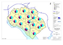
Methods of Travel in Southampton, UK Map
The methods of travel used by workers in Southampton
133 miles away
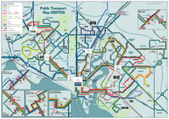
Southampton Public Transport Map
Public transport map of Southampton, England
133 miles away
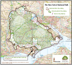
The New Forest National Park Map
Nice map with clear park boundaries.
135 miles away
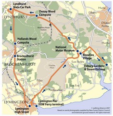
New Forest Bus Tour Map
135 miles away
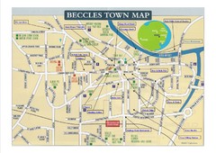
Beccles Town Map
137 miles away
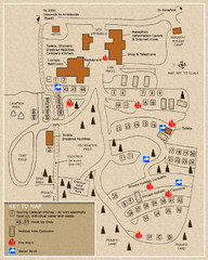
Castle Rigg Park Map
137 miles away
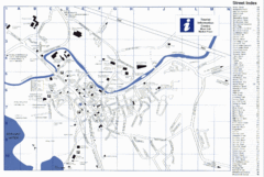
Keswick Tourist Map
Tourist map of Keswick, England. Shows all points of interest and has a street index.
137 miles away
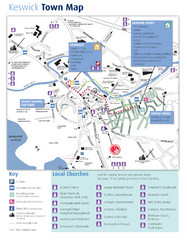
Keswick Town Map
Map of Keswick with Christian locations identified
137 miles away
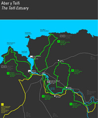
Cardigan Walks Map
Trail map of 6 circular walks in the Cardigan area ranging between four and a half and six and a...
138 miles away
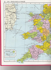
Wales Political Map
Map of Wales and southwest England
138 miles away

Great Yarmouth District England Map
Map of Great Yarmouth & the Norfolk Broads showing major roads and cities.
138 miles away
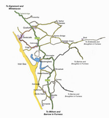
Whitehaven Wanderer Bus Route Map
140 miles away
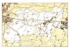
Capel Footpaths Map
Map of Footpaths in Capel Parish
140 miles away
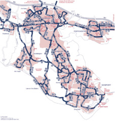
Fareham Busmap Map
Bus map of Portchester, Gosport and Fareham routes.
140 miles away
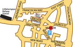
Museums in West Sussex, England Map
140 miles away
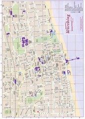
West Sussex, England Map
140 miles away
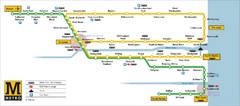
Tyne and Wear Metro Route Map
Map of metro transit routes throughout Tyne and Wear
141 miles away

Disabled Accessible Places in Maidstone, Kent Map
A guide to places in Maidstone that are wheelchair accessible.
141 miles away
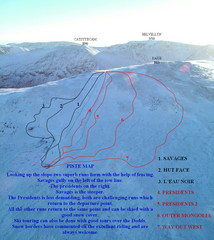
Raise Ski Trail Map
Trail map from Raise.
141 miles away
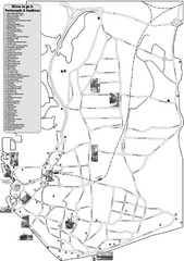
Portsmouth and Southsea Tourist Map
Tourist map of "where to go" in Portsmouth and Southsea, England. Includes photos of...
142 miles away
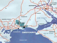
Christchurch, England Region Map
145 miles away

