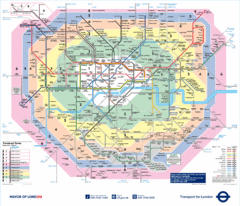
London Underground Tube Map
112 miles away
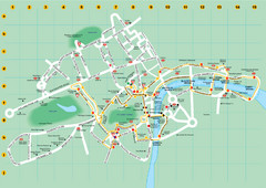
Ensignbus Sightseeing Bus Route Example Map
An example of one of many possible sightseeing routes from Ensignbus tours in London.
112 miles away
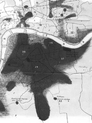
Mr. Grainger's "Cholera Map of the...
There were four districts south of the River Thames that might have interested Snow-#25, St...
112 miles away
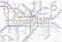
Tube Map
Map of London's Tube transportation lines and stops
112 miles away
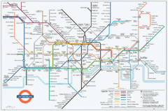
Untergrund Map
Comedic London Underground Tube map showing what it would look like if England had lost the war.
112 miles away
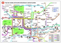
Central London Tourist and Bus map
Current Map showing all London Attractions and Bus transportation Route.
112 miles away
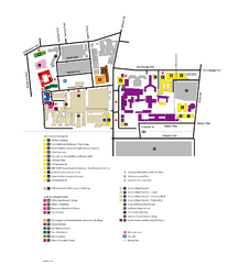
King's College in London Campus Map
King's College located in London
112 miles away
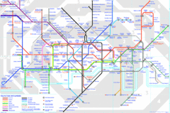
London Underground Map
London Underground map with all zones
112 miles away
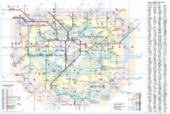
London Underground Map
112 miles away
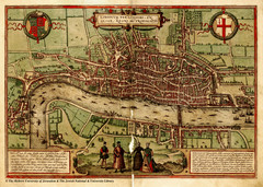
1560 London Map
Historic map of London showing city walls and farms
112 miles away
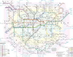
London Tube Map
112 miles away
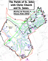
The Parish of St. John's with Christ Church...
A rough history of the Stratford, England and a continuation of the age old tradition of "...
113 miles away
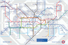
London Underground Map
Official map of the London Underground. An evolution of the original design conceived in 1931 by...
113 miles away
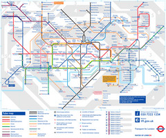
London Tube Map
113 miles away
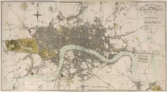
London Map 1807
1807 "London in miniature" map. Scanned.
113 miles away
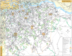
Southeast London Bus Map
114 miles away
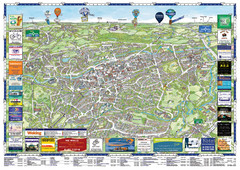
Woking Tourist Map
Tourist map of Woking, Surrey, England. Oblique/3D town map with ads.
114 miles away
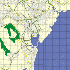
Cardiff Street Map
Street map of Cardiff, Wales area.
114 miles away
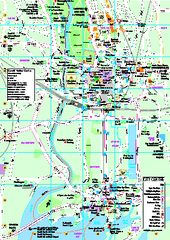
Cardiff City Map
Tourist map of city center of Cardiff, UK. Shows points of interest
114 miles away
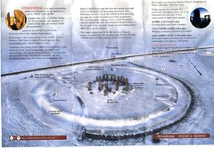
Stonehenge Brochure Map
Scan of official brochure of Stonehenge.
114 miles away
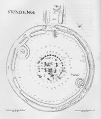
Stonehenge Map
Hand drawn map of Stonehenge showing stone circle and surrounding area
114 miles away
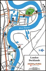
London Docklands Tourist Map
114 miles away
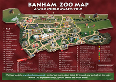
Banham Zoo Map
115 miles away
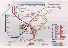
St. Georges Hospital Bus Services Map
115 miles away
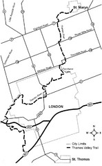
Thames Valley Trail Map
115 miles away
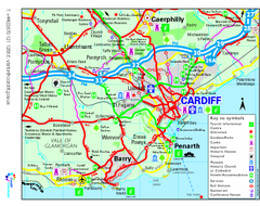
Cardiff Region Tourist Map
Regional tourist map of area surrounding Cardiff, UK. Shows all attractions.
116 miles away
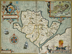
Anglesey Map
116 miles away
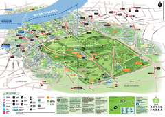
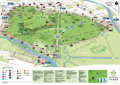
Greenwich Park Map
116 miles away
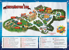
Chessington Zoo Map
116 miles away
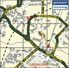
Chelmsford Map
117 miles away

Cawston, Norfolk Guide Map
117 miles away
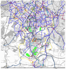
Cheam Bus Route Map
Olympic Bid 2016 - Bus Route Map
118 miles away
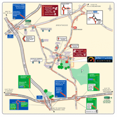
Brentwood, Essex Map
118 miles away
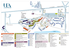
U. of East Anglia Map
121 miles away
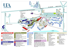
University of East Anglia Map
121 miles away
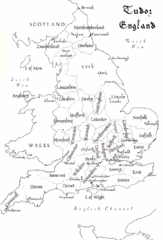
Tudor England Counties Map
Guide to the counties of England under Tudor reign
121 miles away
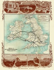
Historic United Kingdom Railroad Map
Guide to the connections of the Great Southern and Western Railways in the British Isles
122 miles away
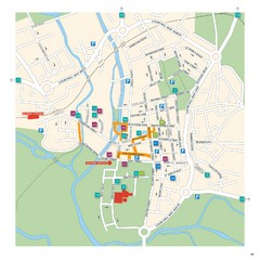
Salisbury Tourist Map
Tourist map of central Salisbury, UK. Shows parking and key for points of interest.
122 miles away

