London Map
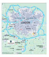
Map of London highways, roads and surrounding towns.
111 miles away
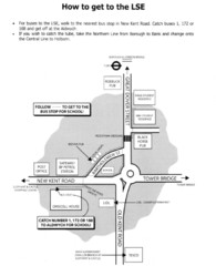
London School of Economics Bus Stop Map
How to get to the London School of Economics.
111 miles away
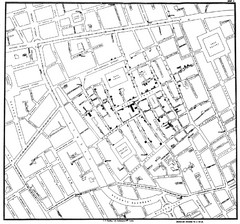
Cholera Outbreak of London Map
Map used to analyze the cholera outbreak in London, specifically South Hampton in 1853
111 miles away
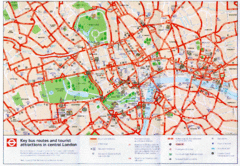
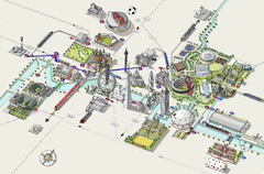
London Bus and Tourist Map
Key bus routes and tourist attractions in central London. Scanned.
111 miles away
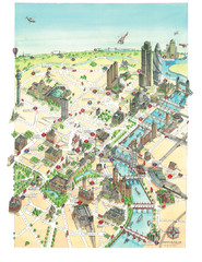
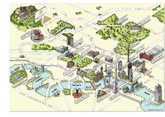
Aerial map of London
Map of London by Katherine Baxter
111 miles away
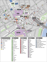
Trafalgar Square Map
111 miles away
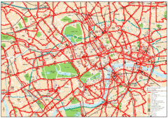
Central London Bus Map
1999 map from The London Tube Map Archive
111 miles away
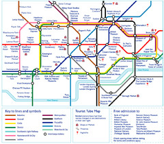
London Tourist Tube Map
London Tube Map with lots of station names replaced with tourist attractions. Key: Union Jack...
111 miles away
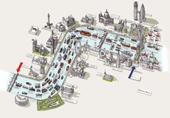
River Thames Jubilee Pageant Map
River Thames Jubilee Pageant 2012
111 miles away
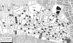
London Church Map
Map of the City of London showing 47 churches and 9 Towers
111 miles away
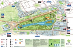
St. James Park Map
Official birds-eye view map of St. James Park, London.
111 miles away
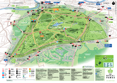
Richmond Park Map
112 miles away
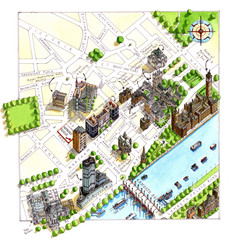
London Westminster Map
Aerial Map of Westminster london, showing the Houses of Parliament
112 miles away
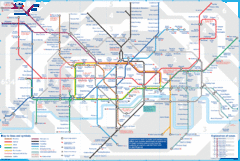
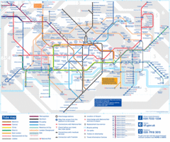
London Underground Tube Map
Map of London's underground Tube
112 miles away
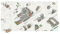
Map of London Covent Garden
Map of Covent Garden London
112 miles away
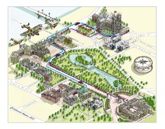
London Westminster Royal Wedding Map
London map, Route map for the royal Wedding 29th April 2011
112 miles away
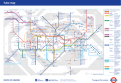
London Underground
London Underground map. Shows all 11 lines, 270 stations, and 9 zones as of 2010. This is the...
112 miles away
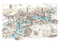
Map of London
Aerial map of London, a look at the History of London and the River Thames
112 miles away
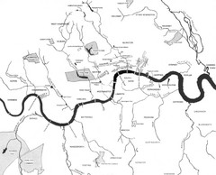
London Subterranean Rivers Map
A great help when one wants to name more than one or two rivers/streams that run through London. I...
112 miles away
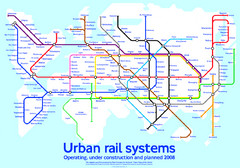
Diagram linking cities with Urban rail systems Map
Made for the book "Transit Maps of the World" this London Underground inspired diagram...
112 miles away
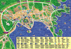
London Tourist Map
112 miles away
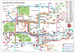
London Bus Route Map
112 miles away
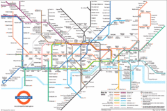
London Subway Map
112 miles away
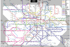
London Subway Map
112 miles away
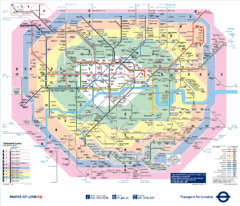
London, England Underground Map
112 miles away
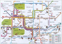
London Tube Map
112 miles away
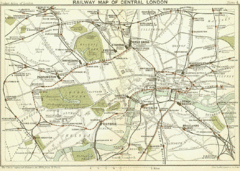
1899 London Railway Map
112 miles away
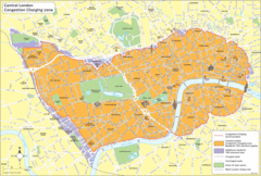
London Congestion Zone Map
112 miles away
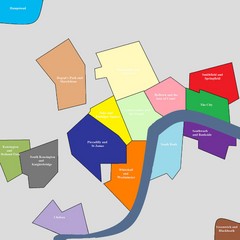
London Attraction and Tourist Map
The main attractions for sightseers in London
112 miles away
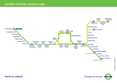
Tramlink Network Map
112 miles away
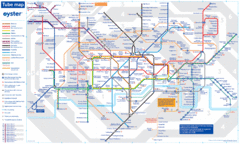
London Tube Map
112 miles away
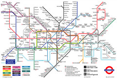
London Underground Transportation Map
The tube/subway in London
112 miles away
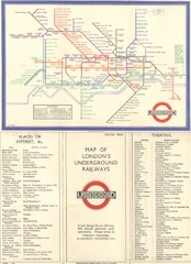
London Railway Map
112 miles away
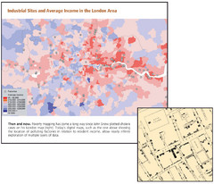
London Income and Industrial Plants Map
Map shows correllation between income and location of industrial sites. Cholera map is also...
112 miles away
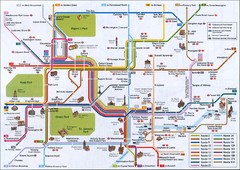
London Tourist Map
Tourist map of London, England showing key bus routes and tourist attractions.
112 miles away
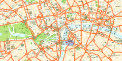
London Tourist Map
Tourist Map of London showing street level detail with tourist attractions marked.
112 miles away
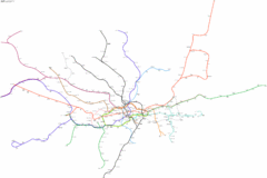
Geographically Correct London Underground Map
112 miles away

