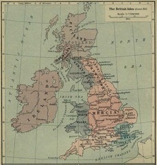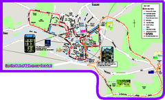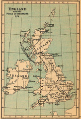
878 England Map
Guide to England after the Peace of Wedmore
93 miles away
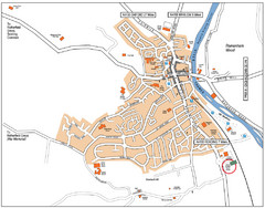
Henley-on-Thames Map
94 miles away
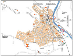
Henley-on-thames Map
Visitor Map of Henley-on-thames. Map shows location of most main roads, buildings, and parking.
95 miles away
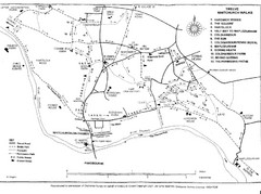
Whitchurch on Thames Walking Map
Guide to 12 walks around Whitchurch on Thames, UK
95 miles away
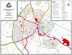
Chippenham Town Map
97 miles away
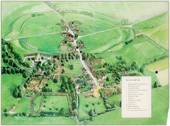
Avebury Tourist Map
Tourist map of Avebury, England. Shows Avebury Henge. From photo.
97 miles away
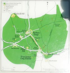
Avebury World Heritage Site Map
Map of Avebury, England showing World Heritage Site and surroundings. From photo.
97 miles away
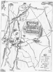
Twyford Parish Map
Footpaths and bridleways map of Twyford Parish
99 miles away
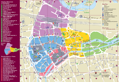
Reading Tourist Map
Tourist map of city center of Reading, England. Shows attractions and other tourist points of...
99 miles away
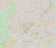
Bristol City Map
Overview map of city of Bristol. Zooms with details available on original website.
103 miles away
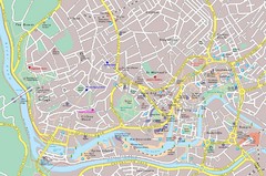
Bristol Tourist Map
Tourist map of central Bristol, England.
103 miles away
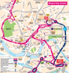
Bristol Hotel Map
103 miles away

Bristol, England Tree Map
103 miles away
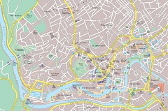
Central Bristol Tourist Map
Neighborhoods, landmarks and streets in Bristol, England
103 miles away
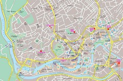
Bristol Centre Map
104 miles away
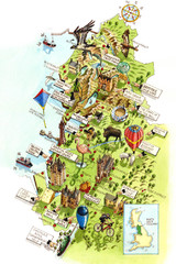
North West England Map
North West England map by Katherine Baxter
104 miles away
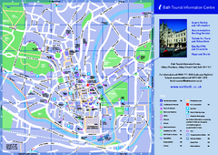
Bath City Map
104 miles away
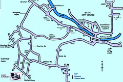
Bath City, England Map
Map from the centre of Bath, visitor information and streets.
105 miles away
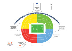
UK Wembley Stadium Map
105 miles away
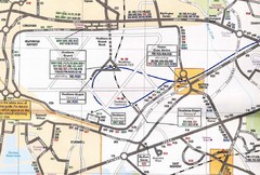
Heathrow Airport Transportation Map
106 miles away
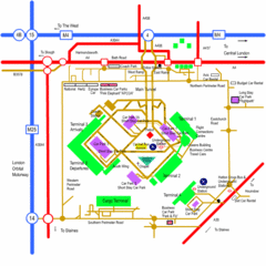
Heathrow Airport Map
106 miles away
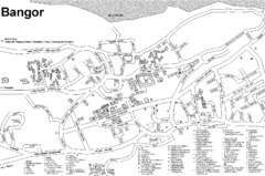
Bangor University Map
Map with numbered index to buildings on the campus of Bangor University in the United Kingdom.
108 miles away
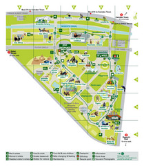
London Zoo Map
109 miles away
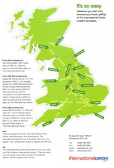
United Kingdom Map
109 miles away
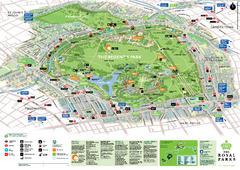
Regent's Park Map
Birds-eye view of the Regent's Park in London
109 miles away
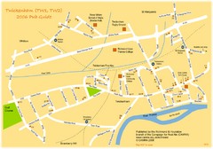
Twickenham Pub Guide Map
Map of TW1 & TW2 area
110 miles away
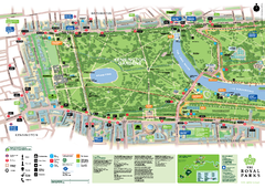
Kensington Gardens Map
110 miles away
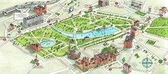
London Hyde Park map
Map of London, showing Hyde park.
110 miles away
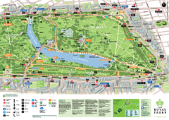
Hyde Park Map
110 miles away
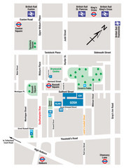
Great Ormond Street Hospital for Children Map
Great Ormond Street Hospital for Children NHS Trust (GOSH)
111 miles away
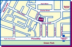
Third Church of Christ, Scientist, Location Map
111 miles away
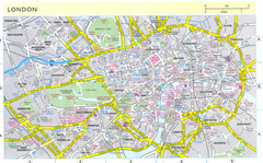
London City Map
City map of London with information and parking locations
111 miles away
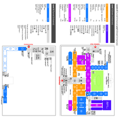
The Victoria & Albert Museum Floor plan Map
Map of The Victoria & Albert Museum in London. Shows entrances and exhibits.
111 miles away
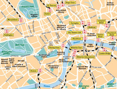
London Bahnhöfe Map
111 miles away

River Thames Map
River Thames Map, illustrated by Katherine Baxter for the Runnymede-on-Thames Hotel as a 8 metre...
111 miles away
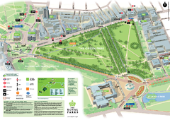
Green Park Map
111 miles away
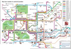
London Central Bus Routes Map
Guide to bus routes in London
111 miles away
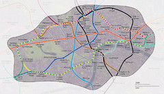
London Underground Zone 1 with Street Map
The London Underground Zone 1 geographically overlaid on city streets.
111 miles away

