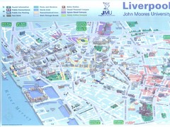
John Moores University Map
Campus map of John Moores University, Liverpool, UK
69 miles away
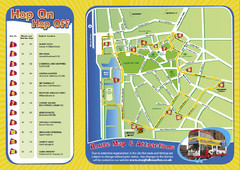
Liverpool Bus Tour Map
69 miles away
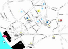
Merseytravel Headquarters Location Map
69 miles away
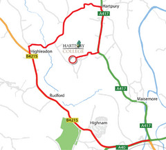
Hartpury College Directions Map
Map of location of Hartpury College campus and surrounding roads.
70 miles away
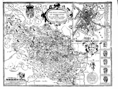
1610 Yorkshire County Historical Map
A 1610 map of Yorkshire Country in the United Kingdom
71 miles away
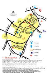
Gloucester City Park Map
71 miles away
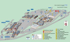
Royal Blackburn Hospital Map
Maps of Royal Blackburn
72 miles away
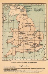
England War of the Roses Map
Guide to battle sites, encampments and treaties of the War of the Roses in England
72 miles away
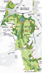
Cuerden Valley Park Map
74 miles away
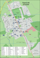
Papworth Everard Tourist Map
75 miles away
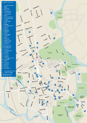
University of Oxford Campus Map
campus map
75 miles away
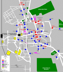
Oxford City Map
Oxford University and surrounding city
76 miles away
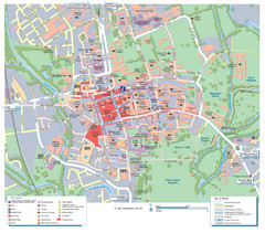
Oxford City Map
Tourist street map of Oxford
76 miles away
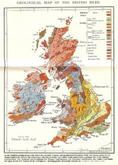
British Isles Geological Map
Old British Isles geological map
77 miles away
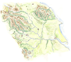
Yorkshire topography Map
78 miles away
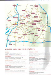
Cotswold England Tourist Map
The Cotswolds are situated in the Heart of England less than 2 Hours Drive from London. Map shows...
78 miles away
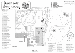
Abbey Dore Court Garden Map
80 miles away
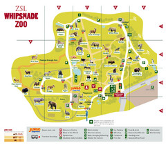
Whipsnade Zoo Map
80 miles away
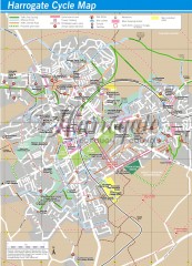
Harrogate Cycling Map
Shows traffic free cycling routes, advisory routes, traffic calmed roads, cycle lanes, bike shops...
81 miles away
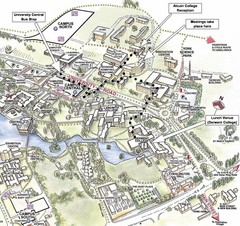
University of York Campus Map
Relevant landmarks and main roads and buildings
81 miles away
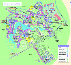
University of York Map - Heslington Campus
Campus map of the University of York Heslington Campus near York, England.
81 miles away
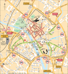
York Tourist Map
82 miles away
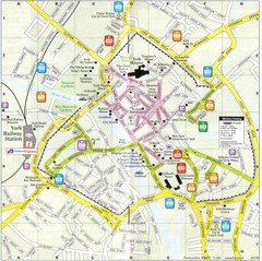
York England Tourist Map
Tourist map of York England showing roads, tourist sites ad railways.
82 miles away
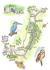
A walk around Bolton Abbey Yorkshire Map
A walk around Bolton Abbey in Yorkshire, Uk. Produced for Dales Life Magazine.
82 miles away
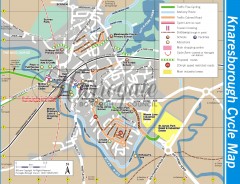
Knaresborough Cycling Map
Shows traffic free cycling routes, advisory routes, traffic calmed roads, cycle lanes, bike shops...
82 miles away
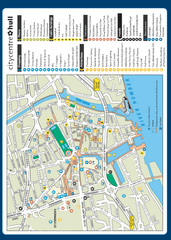
Hull City Centre Map
Tourist map of city of Hull. Shows points of interest including shopping, attractions, places...
83 miles away
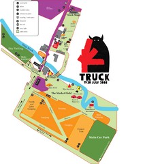
Steventon, South Oxfordshire Tourist Map
84 miles away
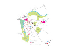
Cambridge City Centre Map
Locations and areas in Cambridge, England
85 miles away
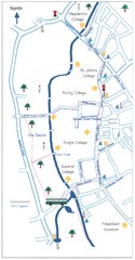
Cambridge Walking Map
Hand drawn tourist walking map of Cambridge, UK
85 miles away
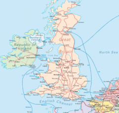
United Kingdom Transit Map
Guide to rail and ferries in the United Kingdom and surrounds
85 miles away
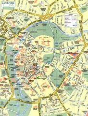
Cambridge Street Map
Street map of central Cambridge, England. Shows University of Cambridge.
86 miles away
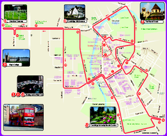
Cambridge Bus Tour Map
Cambridge Bus Tour Map - City Sightseeing
86 miles away
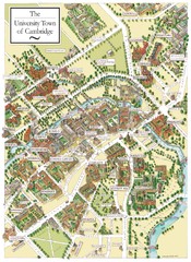
Cambridge England Map
Map of Cambridge, showing all the Colleges
86 miles away
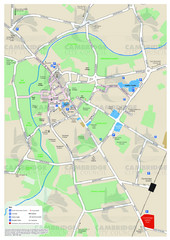
Cambridge Area Map
City map of Cambridge, England. Shows public facilities.
86 miles away
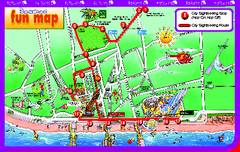
Blackpool Bus Tour Map
Blackpool Bus Tour Map - City Sightseeing
90 miles away

Blackpool Street Map
Street map of city of Blackpool, UK.
90 miles away
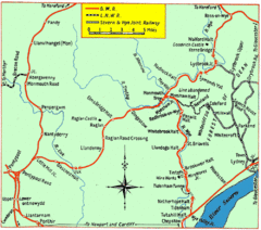
Monmouth and Wye Valley Railways Map
Map showing the 3 major railway lines and the cities with stops of Monmouth, UK.
91 miles away
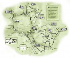
Abergavenny Cycle Map
Shows suggested easy cycling routes, other roads, steeper climbs, parking, public houses, shops...
91 miles away


