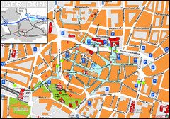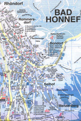
Bad Honnef Map
Street map of Bad Honney
408 miles away
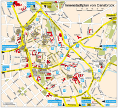
Osnabruck Tourist Map
Tourist map of Osnabruck city center
409 miles away
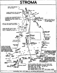
Stroma Tourist Map
409 miles away
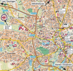
Oldenburg City Map
City map of Oldenburg with hotels
410 miles away
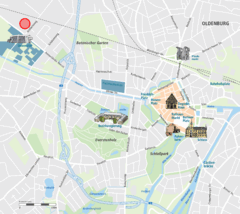
Oldenburg Center Map
Street map of Oldenburg city center
410 miles away
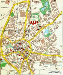
Ennirgerloh Map
Street map of Ennirgerloh
414 miles away
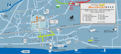
Bad Hönningen Tourist Map
Tourist map of Bad Honningen town center
415 miles away
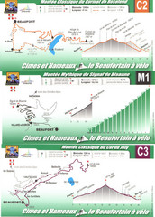
Beaufort Cycling Route Map
Three routes drawn and elevation gains shown for each cycling route in Beaufort, France's...
421 miles away
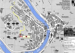
Bernkastel City Map
City map of Bernkastel-Kues with hotels and attractions
426 miles away
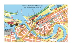
Bremerhaven City Map
City map of central Bremerhaven, Germany. Alfred Wegener Institute for Polar and Marine Research...
426 miles away
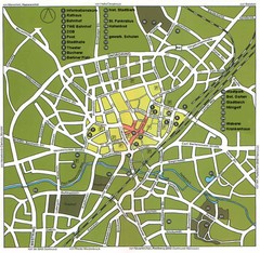
Gütersloh Map
Street tourist map of Gütersloh
427 miles away
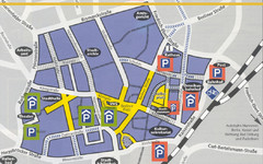
Parking Spots in Downtown Gutersloh Map
428 miles away
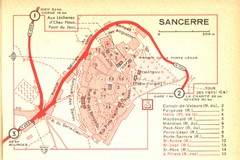
Sancerre Town Map
Town center of Sancerre, France. From Penguin edition, pages 13-16
428 miles away
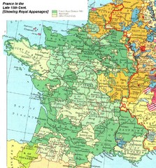
France Late 15th Century Map
France in the Late 15th Century (showing Royal Appanages)
430 miles away
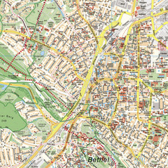
Bielefeld Street Map
Street map of central Bielefeld, Germany. Shows some points of interest.
432 miles away
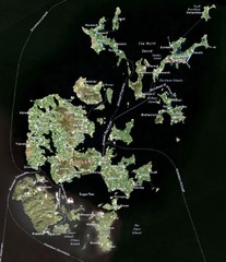
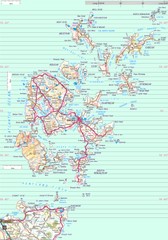
Orkney Islands Map
Guide to the Orkney Islands, northern most islands of the United Kingdom
432 miles away
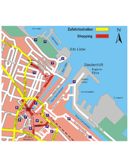
Cuxhaven Center Tourist Map
Tourist map of Cuxhaven center
432 miles away
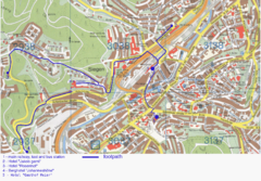
Siegen Street Map
Street map of part of Siegen, Germany. With annotations in English.
434 miles away
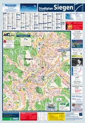
Siegen Tourist Map
Tourist map of Siegen and surrounding region
434 miles away
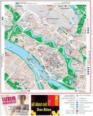
Bremen Tourist Map
Tourist map of the inner city of Bremen, Germany. Shows all points of interest.
435 miles away
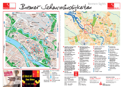
Bremen Tourist Map
Tourist map of central Breman, Germany. Shows points of interest. Includes second map of Breman...
435 miles away
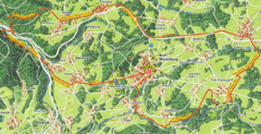
Bad Marienberg Biking Route Map
Map of biking route around Bad Marienberg region
437 miles away

14th Century Northern Europe Map
439 miles away
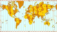
Welt Zeitzonen Map
440 miles away
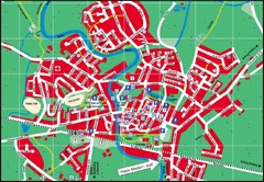
Otterndorf Map
Street map of Otterndorf
440 miles away
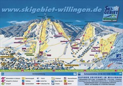
Willingen Ski Trail Map
Trail map from Willingen.
442 miles away
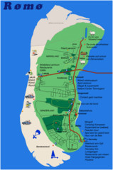
Romo Island Tourist Map
442 miles away
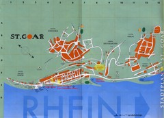
Sankt Goar Town Map
Town map of Sankt Goar, Germany. Sankt Goar is a picturesque little town on the Rhein river, about...
442 miles away
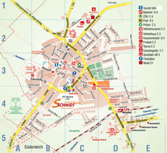
Wesselburen Tourist Map
Tourist street map of Wesselburen
444 miles away
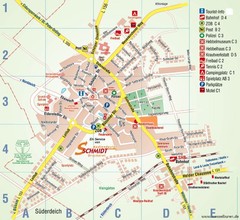
Wesselburen Tourist Map
Tourist map of Wesselburen
444 miles away
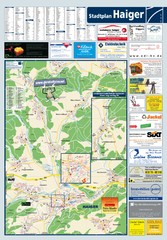
Haiger Tourist Map
Tourist map of Haiger and surrounding area
444 miles away
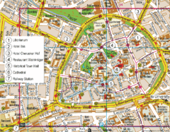
Paderborn Center Map
Street map of Paderborn city center
446 miles away

