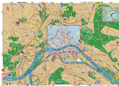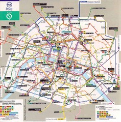
Paris Bus Map
325 miles away
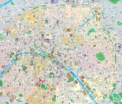
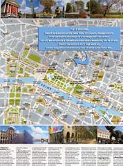
Paris, France Tourist Map
Streets in French, landmarks in Russian
325 miles away

Paris Tansportation Map
325 miles away
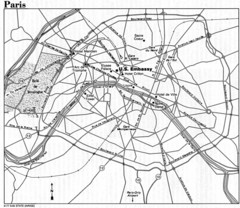
Paris City Map
325 miles away
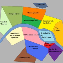
Paris Attraction Guide Map
The main attractions for sightseers in Paris, France.
325 miles away
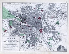
Paris Historical Map
Map of Paris at the Outbreak of the French Revolution in 1789 with colors denoting parks and places...
325 miles away
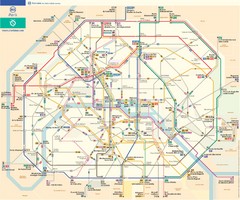
Paris Bus Route Map (French)
325 miles away
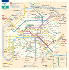
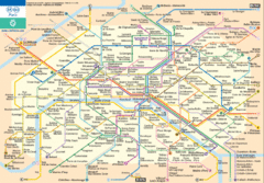
Paris Metro Map
Official map of the Paris metro. "Le grand classique de la RATP"
325 miles away
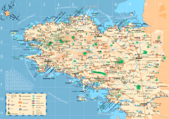
Brittany Tourist Map
Tourist map of province of Brittany in France. Shows ports, cathedrals, churches, chateaus, forts...
325 miles away
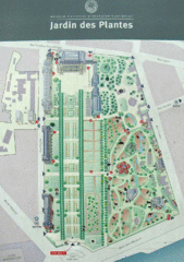
Jardin des Plantes Park Map
326 miles away
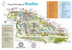
Campus Scientifique de Beaulieu Map
University of Rennes Science campus map.
326 miles away
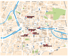
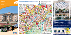
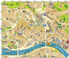
Rennes Street Map
Street map of the city center of Rennes, France. Shows building names and parking. Some points of...
326 miles away
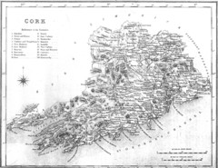
Cork County Map
Map of County Cork from 1800
326 miles away
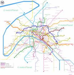
Paris Metro System Map
326 miles away
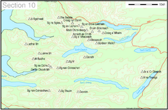
Munro Colour Contour Map Sec10
The list of hills and the grid references are from Wikipedia. The coastline is derived from data...
327 miles away

Co. Kerry Map
328 miles away
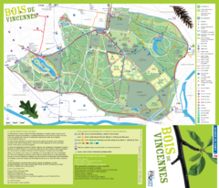
Bois de Vincennes Park Map
Park map of Bois de Vincennes in Paris, France. Park features the Château de Vincennes and...
328 miles away
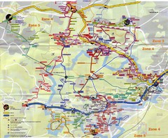
Orsay Bus Map
331 miles away

Brittany region Map
332 miles away
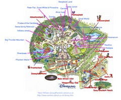
Disneyland Paris Guide Map
Locations and attractions at Disneyland Paris.
335 miles away
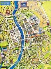
Inverness City Map
Pictorial map of Inverness
338 miles away
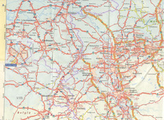
Maastricht Map
Highway map of Maastricht area
341 miles away
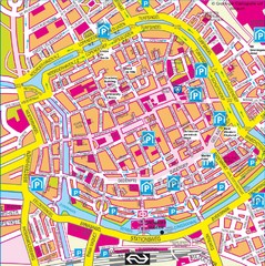
Groningen City Map
City map of central Groningen, The Netherlands. Some hotels highlighted.
342 miles away
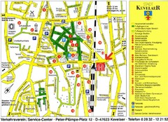
Kevelear Tourist Map
Tourist map of Kevelear
345 miles away
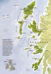
Hebrides Islands Map
348 miles away
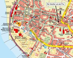
Borkum Street Map
Street map of town of Borkum
348 miles away
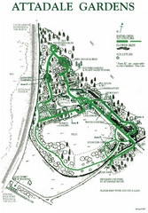
Attadale Gardens Map
Map of beautiful gardens and paths for a relaxing time. 20 acres of conifers and rhododendrons.
350 miles away
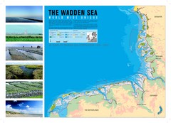
Wadden Sea Map
Map of Wadden Sea area and trilateral conservation area. Consists of lands and waters in The...
351 miles away
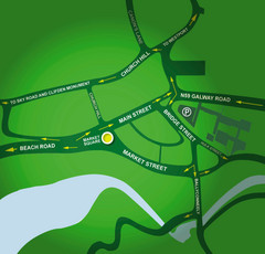
Clifden Overview Map
Simple street map of center of Clifden, Ireland
351 miles away
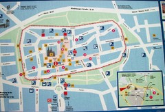
Xanten Tourist Map
Xanten center tourist map
351 miles away

Concarneau ville Map
357 miles away

Concarneau Map
357 miles away
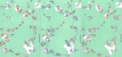
Bois-Rond Bouldering Circuit Map
From summitpost.org: "Bois-Rond is a bouldering area located in the Southern part of the...
358 miles away
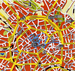
Aachen Center Map
Tourist street map of Aachen city center
359 miles away

