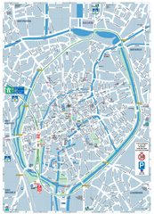
Brugge Tourist Map
Tourist map of Brugges, Belgium. Shows buildings and streets.
235 miles away
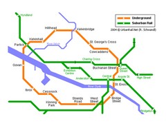
Glasgow Subway Map
Guide to underground and suburban rail
235 miles away
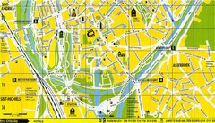
South Bruges Map
Map of the southern part of Bruges city
235 miles away
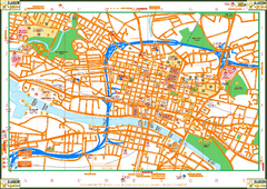
Glasglow Tourist Map
Tourist map of Glasglow, UK. Shows points of interest.
235 miles away
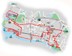
Glasgow Bus Tour Map
235 miles away
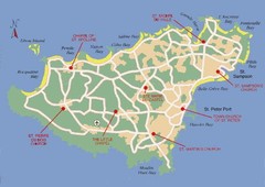
Guernsey Church Map
236 miles away
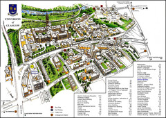
University of Glasgow Map
236 miles away
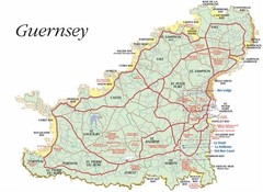
Guernsey road Map
237 miles away
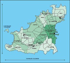
Guernsey Parish Map
237 miles away
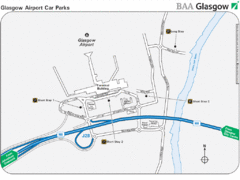
Glasgow Airport Map
239 miles away

Normandy D-day Beaches Map
241 miles away
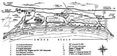
Omaha Beach Map
242 miles away
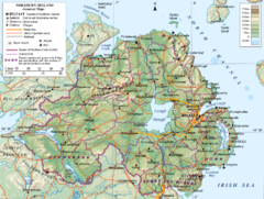
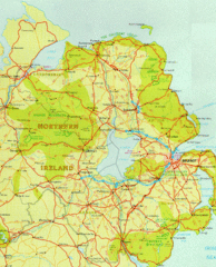
Northern Ireland General Map
Guide to Northern Ireland, major cities, topography and roads
243 miles away

Port-en-Bessin Huppain Map
244 miles away
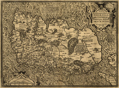
Ortelius’ Map of Ireland (1598)
Abraham Ortelius' map of Ireland in 1598.
244 miles away

St Ives Cornwall Tourist Map
A large, detailed map of St. Ives. Marked with street names and many of the basic services such as...
245 miles away
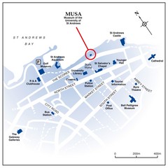
St. Andrews, Scotland Tourist Map
Shows several locations, including University of St. Andrews, in St. Andrews, Scotland
247 miles away
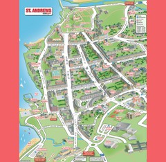
St. Andrews Map
Tourist map of St. Andrews
248 miles away

St Andrews Scotland Tourist Map
Illustrated tourist Map of St. Andrews, Scotland showing historical building and streets.
248 miles away

Bayeux Map
249 miles away
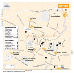
Bayeux Tourist Map
Tourist map of Bayeux, France shows accommodations and restauraunts
249 miles away
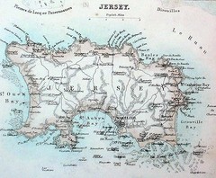
Jersey island Map
250 miles away
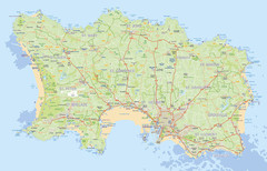
Jersey detailed road Map
251 miles away
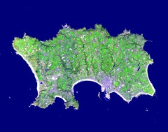
Jersey Physical Map
Guide to the Balliwick of Jersey, a British Crown Dependency
251 miles away
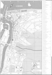
Trouville sur Mer Map
251 miles away
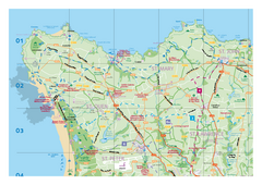
Jersey Tourist Map
Official tourist map of Isle of Jersey in the English Channel. Divided into 5 pages.
251 miles away

Deauville Map
251 miles away
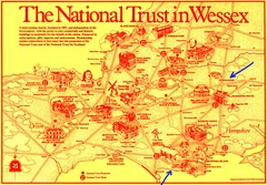
Wessex Scotland Historical Places Map
Illustrated tourist map of Wessex, Scotland showing historical landmarks.
251 miles away
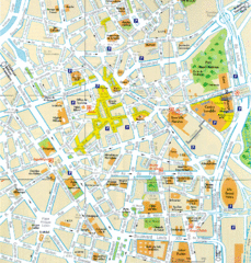
Lille Center Map
Street map of Lille city center
252 miles away
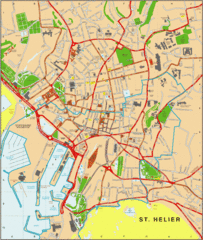
St. Helier Map
253 miles away
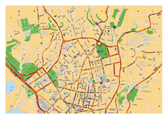
St. Helier Street Map
City street map of Saint Helier, Jersey, UK. With street index. Divided into 3 pages.
253 miles away

Cabourg Map
253 miles away
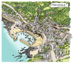
Mousehole map
Map of Mousehole. Aerial map of Mousehole, Cornwall.
254 miles away
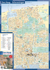
The Hague Tourist Map
Tourist map of The Hague, Netherlands. Shows points of interest.
255 miles away
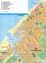
The Hague Hotel Map
Hotel map of The Hague, Netherlands. Shows tram stops. Congress centre highlighted.
256 miles away
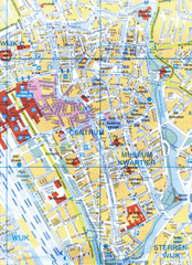
Utrecht, Netherlands Tourist Map
256 miles away
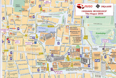
Den Haag, Netherlands Tourist Map
256 miles away
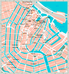
Den Haag, Netherlands Tourist Map
256 miles away
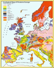
Western Europe Geology Map
Geological map of Western Europe. Modified after Kirkaldy 1967.
256 miles away

