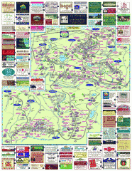
South County Berkshires map
Tourist map of Great Barrington, Housatonic, Sheffield, S. Egremont, N. Egremont Lenox, Stockbridge...
29 miles away
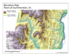
Elevation Map of Dummerston, Vermont
This Hypsometric map is a map that distinguishes elevations progression within a specific...
30 miles away
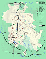
Beartown State Park Summer Map
Summer Map of Beartown State Park in Massachusetts.
31 miles away
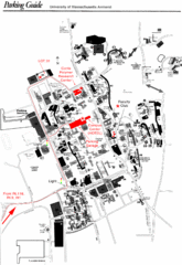
University of Massachusetts Amherst Parking Map
Map of the University of Massachusetts. Includes all buildings, streets, and parking information.
31 miles away
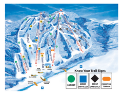
Blandford Ski Area Ski Trail Map
Trail map from Blandford Ski Area.
31 miles away
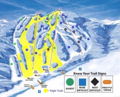
Blandford Ski Trail Map
Official ski trail map of Blandford ski area
31 miles away
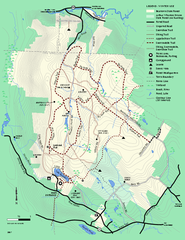
Beartown State Park Winter Map
Winter use map of Beartown State Park in Massachusetts
32 miles away
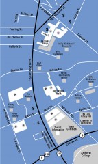
Downtown Amherst, Massachusetts Map
Tourist map of downtown Amherst, Massachusetts, showing attractions, government buildings, atms...
32 miles away
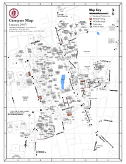
University of Massachusetts - Amherst Map
Campus Map of the University of Massachusetts - Amherst. All buildings shown.
32 miles away
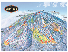
Stratton Mountain ski area trail map 2006-07
Official ski trail map of Stratton Mountain ski area from the 2006-2007 season.
33 miles away
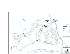
Townshend State Park Campground Map
Campground map of Townshend State Park in Vermont
33 miles away
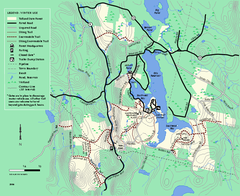
Tolland State Forest winter trail map
Winter usage trail map of the Tolland State Forest area in Massachusetts.
33 miles away
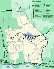
Erving Summer trail map
Summer use map of Erving State Park in Massachusetts.
33 miles away
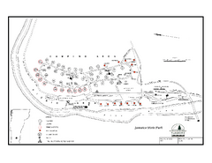
Jamaica State Park Campground Map
Campground map of Jamaica State Park in Vermont
33 miles away
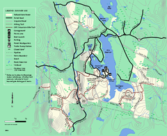
Tolland State Forest summer trail map
Summer use map for Tolland State Forest in Massachusetts.
33 miles away
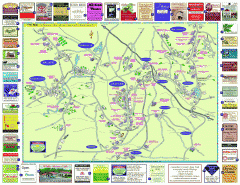
Columbia County - Austerlitz, Canaan, Chatham...
Tourist map of Columbia County including towns of Austerlitz, Canaan, Chatham, East Chatham Ghent...
33 miles away
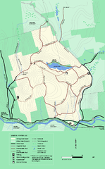
Erving State Park winter use map
Winter use map of the Erving State Park in Massachusetts
34 miles away
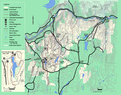
Wendell State Forest trail map
Trail map of Wendell State Forest in Massachusetts.
34 miles away
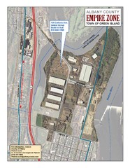
Green Island Map
Aerial town map of Green Island, New York on the Hudson River
34 miles away
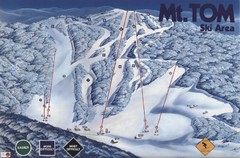
Mount Tom Ski Trail Map
Trail map from Mount Tom, which provides downhill skiing. This ski area opened in 1962.
35 miles away
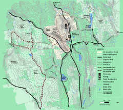
Mt. Grace State Forest trail map
Trail map of Mt. Grace State Forest near Warwick, Massachusetts.
35 miles away
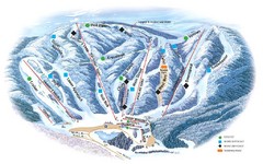
Butternut Ski Area Ski Trail Map
Trail map from Butternut Ski Area.
35 miles away
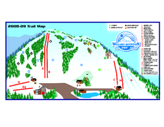
Willard Mountain Ski Area Ski Trail Map
Trail map from Willard Mountain Ski Area.
36 miles away
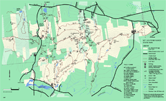
Mount Holyoke Range State Park Map
Trail map of Holyoke Range State Park.
36 miles away
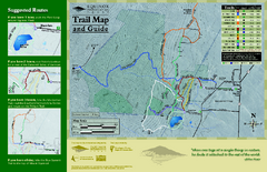
Equinox Preservation Trail map
Trail map of the Equinox Preservation Trust in Manchester, VT. The Equinox Preservation is over...
36 miles away
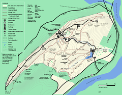
Mt. Tom State Reservation trail map
Trail map of Mt. Tom State Reservation
37 miles away
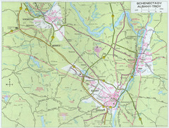
Albany, New York City Map
37 miles away
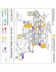
University at Albany Map
Campus Map of the University at Albany. All buildings shown.
37 miles away
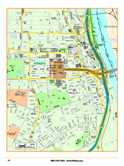
Albany downtown map
Road map of downtown Albany, NY. Shows city parks and New York State government buildings.
37 miles away
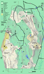
Mt. Washington State Forest trail map
Trail map of Mt. Washington State Forest
39 miles away
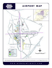
Albany International Airport Map
Official Map of the Albany International Airport in New York. Shows all terminals.
40 miles away
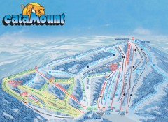
Catamount Ski Trail Map
Official ski trail map of Catamount ski area from the 2006-2007 season.
40 miles away
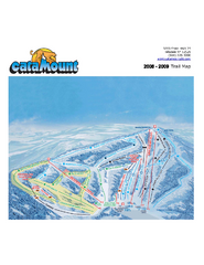
Catamount Ski Area Ski Trail Map
Trail map from Catamount Ski Area.
40 miles away
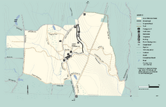
Granville State Forest trail map
Trail map of Granville State Forest in Massachusetts
40 miles away
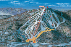
Bromley Mountain Ski Area map 2006-07
Simple ski trail map of Bromley Mountain Ski Area for the 2006-2007 season.
40 miles away
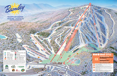
Bromley Mountain Ski Trail Map
Trail map from Bromley Mountain.
40 miles away
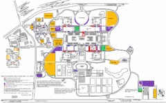
New York State University Uptown Campus Map
Map of the NYS University Campus, including all buildings, streets, and Visitors Parking...
40 miles away
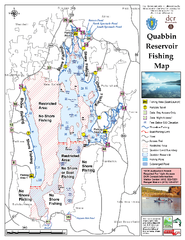
Quabbin Reservoir Fishing Map
Fishing access map of Quabbin Reservoir. Shows all ponds and submerged ponds.
41 miles away
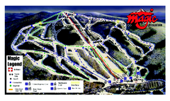
Magic Mountain Ski Trail map
Official ski trail map of Magic Mountain ski area from the 2006-2007 season.
41 miles away

