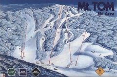
Mount Tom Ski Trail Map
Trail map from Mount Tom, which provides downhill skiing. This ski area opened in 1962.
41 miles away
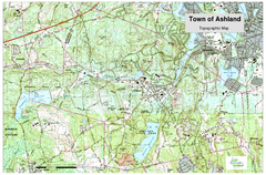
Ashland, MA - Topo Map
Map is provided by the town of Ashland, MA. See town's website for additional maps and...
41 miles away

Mine Brook Wildlife Management Area Map
41 miles away
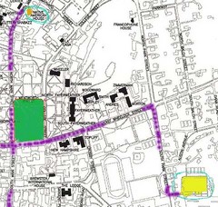
Manchester, New Hampshire City Map
41 miles away
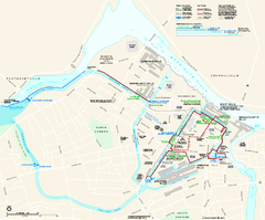
Lowell National Historical Park Official Map
Official NPS map of Lowell National Historical Park in Lowell, Massachusetts. Map shows all of...
41 miles away
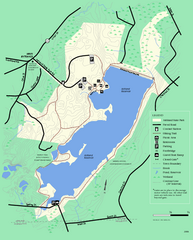
Ashland State Park Map
Clear map and legend marking trails, parking, facilities and more.
41 miles away
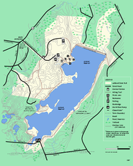
Ashland State Park Map
Map of Ashland State Park in Massachusetts.
41 miles away
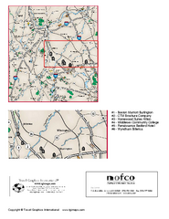
Greater Merrimack Valley, Massachusetts Map
Tourist map of greater Merrimack Valley, Massachusetts. Lodging, forests, and other points of...
42 miles away
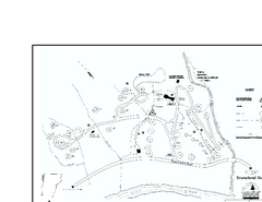
Townshend State Park Campground Map
Campground map of Townshend State Park in Vermont
42 miles away
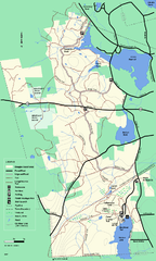
Douglas State Forest trail map
Trail map of the Douglas State Forest in Massachusetts
42 miles away
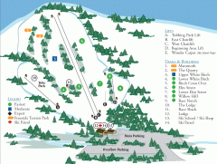
McIntyre Ski Trail Map
Official ski trail map of McIntyre ski area.
43 miles away
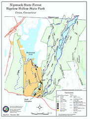
Bigelow Hollow State Park trail map
Trail map of Bigelow Hollow State Park in Connecticut.
43 miles away
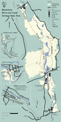
Heritage State Park Map
Clear state park map marking trails and facilities.
43 miles away
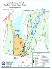
Nipmuck State Forest trail map
Trail map of Nipmuck State Forest and Bigelow Hollow State Park in Connecticut.
43 miles away
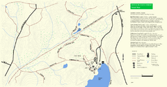
Douglas State Park Detail Map
43 miles away
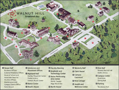
Walnut Hill School Map
Campus Map
44 miles away
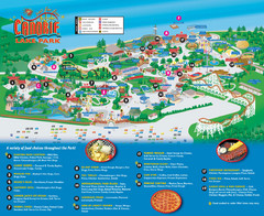
Canobie Lake Park Map
45 miles away
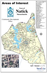
Natick Areas Of Interest Map
Shows points of interest in town of Natick, Massachusetts. Inset of downtown Natick.
45 miles away
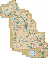
Blackstone Valley tourist map
Tourist map of the Blackston Valley in Rhode Island and Massachusetts. Shows hiking, biking, and...
45 miles away
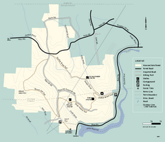
Monroe State Forest trail map
Trail map of Monroe State Forest in Massachusetts.
45 miles away
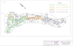
Town of Lexington Historic Districts Map
Identifies the 4 historical districts of Lexington, Massachusetts.
46 miles away
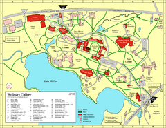
Wellesley College campus map
2008 Wellesley College campus map
46 miles away
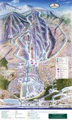
Haystack Club Ski Trail map
Official ski trail map of Haystack ski area from the 2006-2007 season.
46 miles away
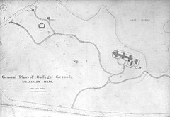
1870s Map of Wellesley College
General plan of college grounds, 1870s.
46 miles away
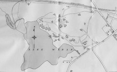
1899 Map of Wellesley College
After College Hall, the original site of Wellesley's faculty, students, classrooms, and...
46 miles away
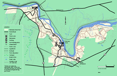
Robinson State Park trail map
Trail map of Robinson State Park in Massachusetts.
47 miles away
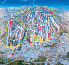
Mount Snow Ski Trail Map - main face
Trail map of main face of Mt Snow ski area near Wilmington, Vermont
47 miles away
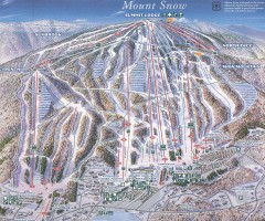
Mount Snow Trail Map 2001
Ski trail map of Mount Snow ski area, estimated 2001
47 miles away
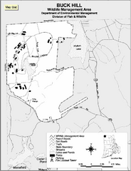
Buck Hill Wildlife Management Area Map
47 miles away
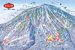
Stratton Mountain Resort Ski Trail Map
Trail map from Stratton Mountain Resort.
48 miles away
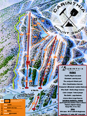
Mount Snow Carinthia Terrain Park Ski Trail Map
Trail map from Mount Snow.
48 miles away
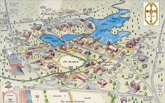
St. Paul's School Campus Map
Campus map of St. Paul's School
48 miles away
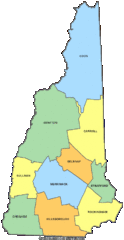
New Hampshire Counties Map
48 miles away
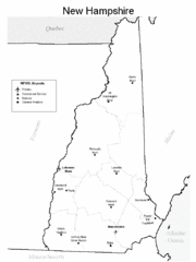
New Hampshire Airports Map
48 miles away
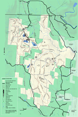
Savoy Mountail trail map
Trail map for Savoy Mountain in Massachusetts.
48 miles away

Six Flags New England Theme Park Map
Official Park Map of Six Flags New England in Massachusetts.
48 miles away
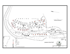
Jamaica State Park Campground Map
Campground map of Jamaica State Park in Vermont
48 miles away
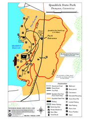
Quaddick State Park Trail Map
48 miles away
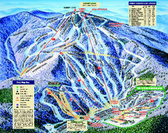
Mount Sunapee Ski Area Ski Trail Map
Trail map from Mount Sunapee Ski Area.
49 miles away
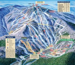
Mt. Sunapee Ski Trail Map
Official ski trail map of Mt. Sunapee ski area from the 2007-2008 season.
49 miles away

