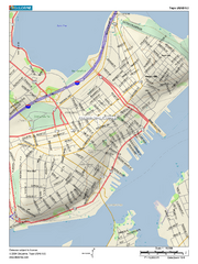
Portland, Maine City Map
126 miles away
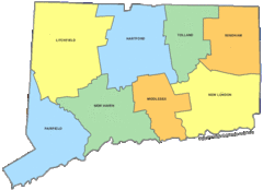
Connecticut Counties Map
126 miles away
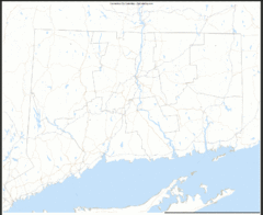
Connecticut Zip Code Map
Check out this Zip code map and every other state and county zip code map zipcodeguy.com.
126 miles away
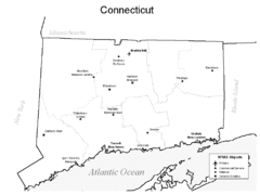
Conneticut Airports Map
126 miles away
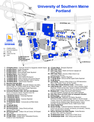
University of Southern Maine - Portland Map
126 miles away
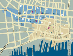
Portland, Maine Tourist Map
127 miles away
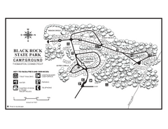
Black Rock Campground map
Map of the Campgrounds in Black Rock State Park.
127 miles away
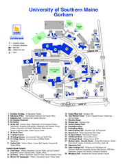
University of Southern Maine - Gorham Map
127 miles away
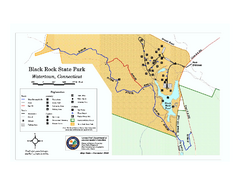
Black Rock State Park trail map
Trail map of Black Rock State Park in Connecticut.
127 miles away
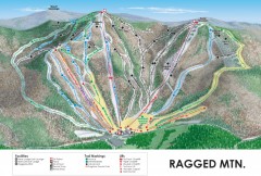
Ragged Mountain Ski trail Map
Official ski trail map of Ragged Mountain ski area from the 2007-2008 season.
127 miles away
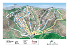
Ragged Mountain Ski Trail Map
Trail map from Ragged Mountain.
127 miles away
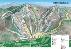
Ragged Mountain Ski Trail Map
Trail map from Ragged Mountain.
127 miles away

Topsmead State Forest map
Trail map for Topsmead State Forest in Connecticut.
128 miles away
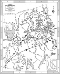
Middlebury, Connecticut Map
129 miles away
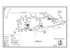
Molly Stark State Park Campground Map
Campground map for Molly State State Park in Vermont
129 miles away
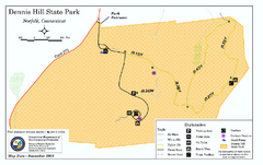
Dennis Hill State Park map
Trail map of Dennis Hill State Park in Connecticut.
130 miles away
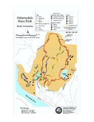
Osbornedale State Park map
Trail map of Osborndale State Park in Connecticut.
131 miles away
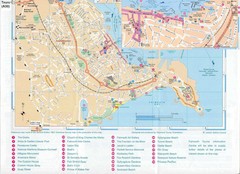
Falmouth Map
Map of Falmouth town and bay. Includes roads, parks, accommodations and attractions.
131 miles away
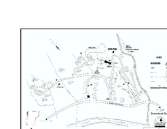
Townshend State Park Campground Map
Campground map of Townshend State Park in Vermont
132 miles away
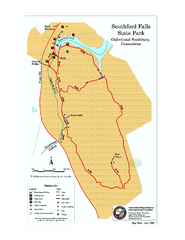
Southford Falls State Park map
Trail map for Southford Falls State Park in Connecticut.
132 miles away
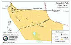
Cambell Falls State Park map
Trail map of Campbell Falls State Park Reserve in Connecticut
132 miles away
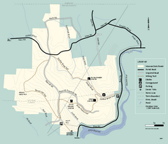
Monroe State Forest trail map
Trail map of Monroe State Forest in Massachusetts.
132 miles away
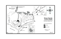
Silver Sands State Park map
Trail and campground map of Silver Sands State Park in Connecticut.
132 miles away
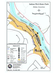
Indian Well State Park map
Trail map for Indian Well State Park in Connecticut.
133 miles away
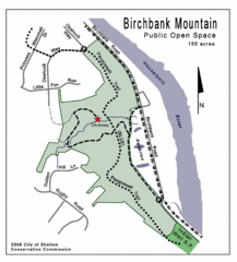
Birchbank Park Map
133 miles away
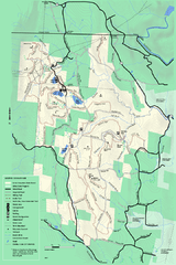
Savoy Mountail trail map
Trail map for Savoy Mountain in Massachusetts.
133 miles away
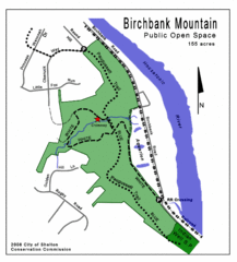
Birchbank Park Map
Several miles of moderately difficult trails along the Housatonic River bluff, including the...
133 miles away
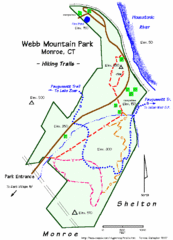
Webb Moutain Park Map
133 miles away
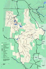
Savoy Mountain winter map
Winter use map of Savoy Mountain in Massachusetts.
134 miles away
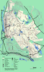
October Mountain State Forest trail map
Trail map of October Mountain State Forest in Massachusetts.
134 miles away
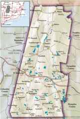
Berkshires Map
Overview map of the Berkshires region of Western Massachusetts
134 miles away
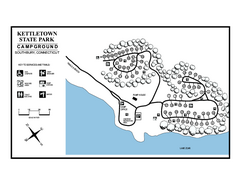
Kettletown State Park campground map
Campground map for Kettletown State Park in Connecticut.
135 miles away
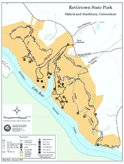
Kettletown State Park trail map
Trail map for Kettletown State Park in Connecticut.
135 miles away
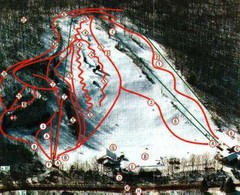
Woodbury Ski Area Ski Trail Map
Trail map from Woodbury Ski Area, which provides downhill, night, nordic, and terrain park skiing...
135 miles away
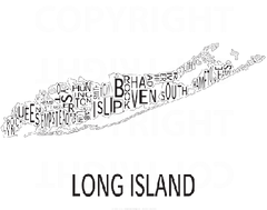
Urban Neighborhood Map: Long Island Map
This Urban Neighborhood Poster of Long Island is a modern twist on traditional maps. The typography...
135 miles away
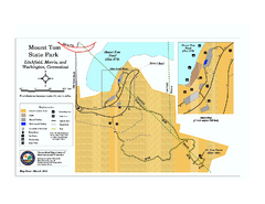
Mount Tom State Park trail map
Trail map of Mt. Tom State Park in Connecticut.
135 miles away

South Mohawk Mountain State Forest (Winter Trails...
Winter trial map for the Southern Section of Mohawk Mountain State Forest in Connecticut.
135 miles away
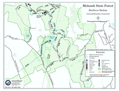
South Mohawk Mountain State Forest (Summer Trails...
Summer trails for South Mohawk State Forest in Connecticut.
135 miles away

North Mohawk Mountain State Forest (Winter Trails...
Winter trail map for North Mohawk Mountain State Forest in Connecticut.
136 miles away
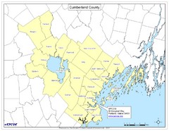
Cumberland County Map
Map showing all city divisions of Cumberland County, Maryland with specific location of the CPCOG.
136 miles away

