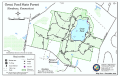
Great Pond State Park trail map
Trail map of Great Pond State Forest in Connecticut.
112 miles away

Guilford Bus Services Map
112 miles away
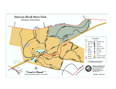
Stratton Brook State Park map
Trail map of Stratton Brook State Park in Connecticut.
112 miles away
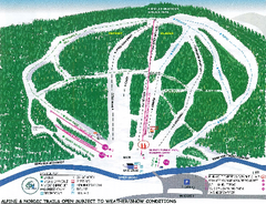
Granite Gorge Ski Trail Map
Trail map from Granite Gorge. This ski area opened in 2005.
112 miles away
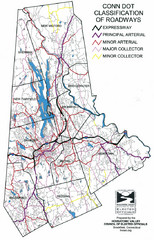
Connecticut Roadway Classification Map
113 miles away
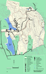
DAR State Forest summer map
Summer use map of the Daughters of the American Revolution state forest.
113 miles away
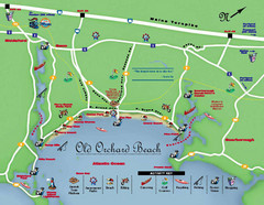
Old Orchard Beach Tourist Map
116 miles away
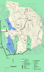
DAR State Forest winter map
Winter use map of the Daughters of the American Revolution State Forest.
117 miles away

Camp Morgan Trail Map
117 miles away
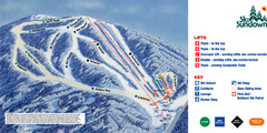
Ski Sundown Ski Trail Map
Trail map from Ski Sundown, which provides downhill and night skiing. It has 5 lifts servicing 15...
118 miles away
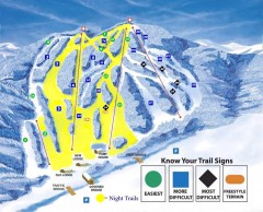
Blandford Ski Trail Map
Official ski trail map of Blandford ski area
118 miles away
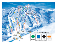
Blandford Ski Area Ski Trail Map
Trail map from Blandford Ski Area.
118 miles away
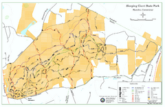
Sleeping Giant State Park map
Trail map for Sleeping Giant State Park in Connecticut.
118 miles away
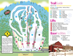
Mt. Southington Ski Area Ski Trail Map
Trail map from Mt. Southington Ski Area, which provides downhill, night, and terrain park skiing...
118 miles away
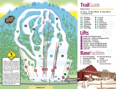
Mount Southington Ski Trail Map
Official ski trail map of Mount Southington ski area from the 2007-2008 season.
118 miles away
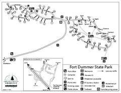
Fort Dummer State Park Campground Map
Campground map of Fort Dummer State Park in Vermont
119 miles away
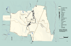
Granville State Forest trail map
Trail map of Granville State Forest in Massachusetts
119 miles away
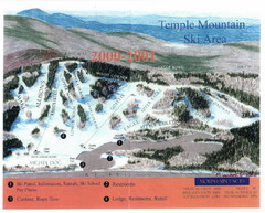
Temple Mountain Last year open—Credited to...
Trail map from Temple Mountain. This ski area opened in 1937.
119 miles away
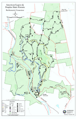
American Legion State Forest trail map
Trail map of American Legion and Peoples State Forests in Connecticut.
120 miles away
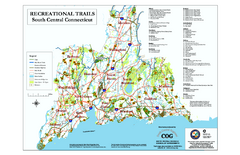
South Central Connecticut Recreational Trail Map
Map of South Central Connecticut showing all recreational trails and open spaces.
120 miles away
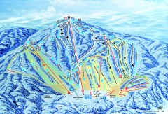
Gunstock Ski Trail Map
Ski trail map of Gunstock Mountain ski area
121 miles away
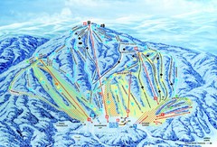
Gunstock Ski Area Ski Trail Map
Trail map from Gunstock Ski Area.
122 miles away
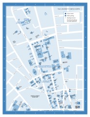
Yale University Campus North Map
Yale University Campus Map - North Campus, including School of Forestry & Environmental Studies...
123 miles away

Yale University Map
123 miles away
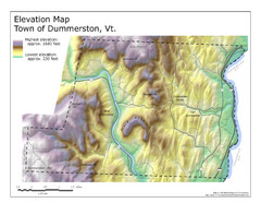
Elevation Map of Dummerston, Vermont
This Hypsometric map is a map that distinguishes elevations progression within a specific...
123 miles away
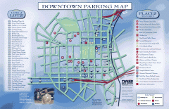
Downtown New Haven Parking Map
Shows locations of all town parking lots and also points of interest
123 miles away
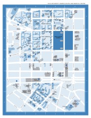
Yale University Campus South and Medical Center...
Yale University Campus South and Medical Center, including the Hewitt Quad, Cross Campus, Old Campus
123 miles away
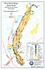
West Rock Ridge State Park map
Trail map of West Rock Ridge State Park in Connecticut.
124 miles away
Appalachian National Scenic Trail Map
Scenic trail Maine to Georgia
124 miles away
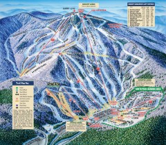
Mt. Sunapee Ski Trail Map
Official ski trail map of Mt. Sunapee ski area from the 2007-2008 season.
124 miles away
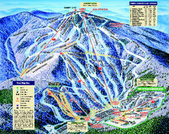
Mount Sunapee Ski Area Ski Trail Map
Trail map from Mount Sunapee Ski Area.
124 miles away
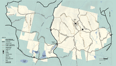
Kenneth Dubuque Memorial State Park trail map
Trail map of the Kenneth Dubuque state park conservation area in Massachusetts.
124 miles away
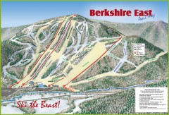
Berkshire East Ski Trail Map
Official ski trail map of Berkshire East ski area from the 2007-2008 season.
125 miles away
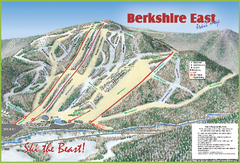
Berkshire East Ski Area Ski Trail Map
Trail map from Berkshire East Ski Area.
125 miles away
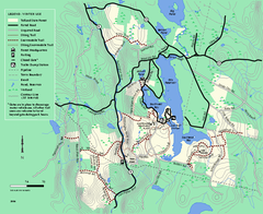
Tolland State Forest winter trail map
Winter usage trail map of the Tolland State Forest area in Massachusetts.
125 miles away
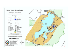
Burr Pond State Park map
Map of Burr Pond State Park in Connecticut.
125 miles away
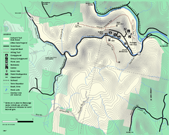
Mohawk Trail State Forest map
Map of the Mohawk Trail State Forest in Charlemont, Massachusetts.
125 miles away
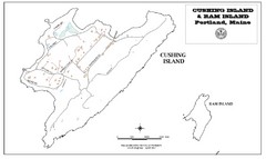
Cushing Island Map
Also shows Ram Island
126 miles away
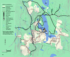
Tolland State Forest summer trail map
Summer use map for Tolland State Forest in Massachusetts.
126 miles away

