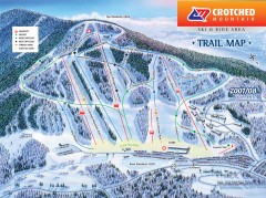
Crotched Mountain Ski Trail Map
Official ski trail map of Crotched Mountain ski area from the 2007-2008 season.
101 miles away
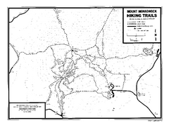
Mount Monadnock State Park Map
Official hiking map of the park. With its thousands of acres of protected highlands, 3,165-ft...
101 miles away
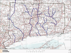
Connecticut Rivers and Coastal Paddling Map
This is a map of paddling areas for rivers and coastal kayaking. Follow the link below for...
101 miles away
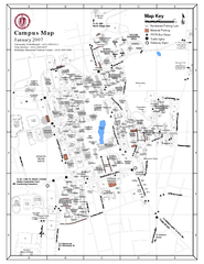
University of Massachusetts - Amherst Map
Campus Map of the University of Massachusetts - Amherst. All buildings shown.
102 miles away
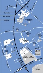
Downtown Amherst, Massachusetts Map
Tourist map of downtown Amherst, Massachusetts, showing attractions, government buildings, atms...
102 miles away
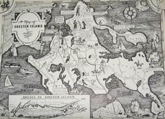
Shelter Island Map
Old Shelter Island map circa 1930s
102 miles away
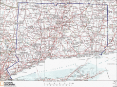
Connecticut State Parks Map
This is statewide map for Connecticut state parks. Go to the source website for detailed hiking...
102 miles away
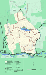
Erving State Park winter use map
Winter use map of the Erving State Park in Massachusetts
102 miles away
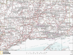
Connecticut Canoeing and Kayaking Lakes Map
A map of the lakes and ponds that are open for canoeing and kayaking in Connecticut. For detailed...
102 miles away
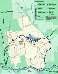
Erving Summer trail map
Summer use map of Erving State Park in Massachusetts.
102 miles away
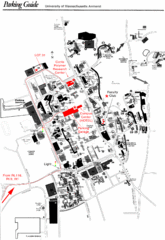
University of Massachusetts Amherst Parking Map
Map of the University of Massachusetts. Includes all buildings, streets, and parking information.
102 miles away
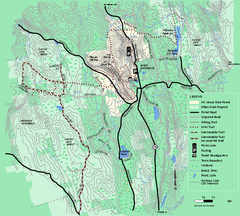
Mt. Grace State Forest trail map
Trail map of Mt. Grace State Forest near Warwick, Massachusetts.
103 miles away
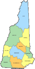
New Hampshire Counties Map
103 miles away
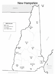
New Hampshire Airports Map
103 miles away
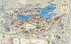
St. Paul's School Campus Map
Campus map of St. Paul's School
103 miles away

Six Flags New England Theme Park Map
Official Park Map of Six Flags New England in Massachusetts.
104 miles away
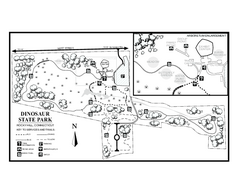
Dinosaur State Park map
Trail map of Dinosaur State Park in Connecticut.
104 miles away

Wadsworth Athenium Museum Location Map
Wadsworth Athenium visitor location map with locations of major buildings, streets, parks, and...
104 miles away
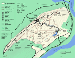
Mt. Tom State Reservation trail map
Trail map of Mt. Tom State Reservation
104 miles away
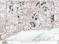
Connecticut State Forests Map
This is a map of all of the state forest boundaries in Connecticut. Follow the source web address...
104 miles away
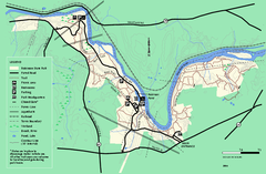
Robinson State Park trail map
Trail map of Robinson State Park in Massachusetts.
104 miles away
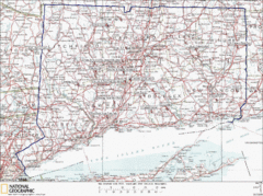
Connecticut Rock Climbing Locations Map
A map of most of the important rock climbing and bouldering areas in Connecticut. Click the link...
104 miles away
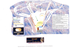
Arrowhead Arrowhead Ski Trail Map
Trail map from Arrowhead.
105 miles away
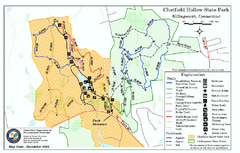
Chatfield Hollow State Park map
Trail map of Chatfield Hollow State Park
105 miles away
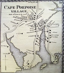
Cape Porpoise Village Map
105 miles away
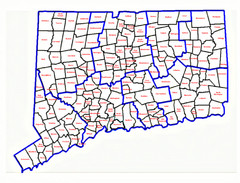
Connecticut Town Map
106 miles away

Hammonasset Beach State Park map
Trail map for Hammonasset Beach State Park in Connecticut.
106 miles away
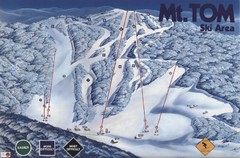
Mount Tom Ski Trail Map
Trail map from Mount Tom, which provides downhill skiing. This ski area opened in 1962.
106 miles away

Hammonasset Beach State Park campground map
Campground map of Hammonasset State Park in Connecticut.
106 miles away
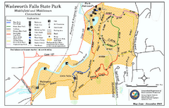
Wadsworth Falls State Park map
Trail map of Wadsworth Falls State Park in Connecticut.
107 miles away
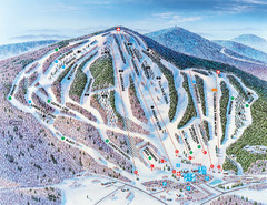
Pats Peak Ski Map
ski trail map of pats peak ski area
107 miles away
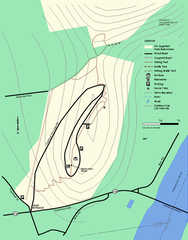
Mt. Sugarloaf State Reservation trail map
Trail map of Mount Sugarloaf State Reservation
108 miles away
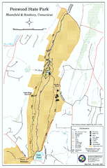
Penwood State Park map
Trail map of Penwood State Park in Connecticut.
109 miles away
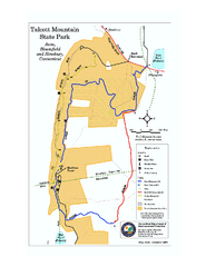
Talcott Mountain State Park map
Trail map of Talcott Mountain State Park in Connecticut.
110 miles away
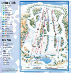
Powder Ridge Ski Area Ski Trail Map
Trail map from Powder Ridge Ski Area.
110 miles away
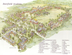
Deerfield Academy Campus Map
Shows buildings and facilities of Deerfield Academy. Scanned.
110 miles away
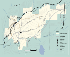
Windsor State Forest trail map
Trail map of Windsor State Forest in Massachusetts.
110 miles away
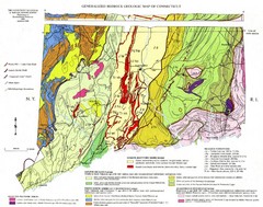
Connecticut Geologic Map
Geologic map of Connecticut bedrock. Shows shaded terranes, fault lines, and Mesozoic formations.
111 miles away


