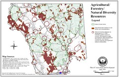
Mansfield Conservation and Development Map
Guide to Agricultural, Forestry and Natural Diversity Resources
81 miles away
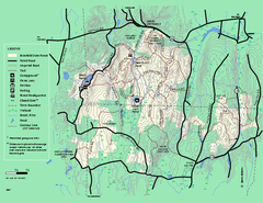
Brimfield State Forest trail map
Trail map of Brimfield State Forest in Massachusetts
81 miles away
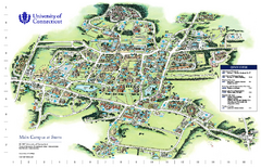
University of Connecticut - Storrs Campus Map
University of Connecticut - Storrs Campus Map. All areas shown.
82 miles away
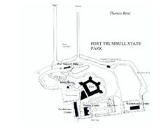
Fort Trumbull State Park map
Map of Fort Trumbull State Park in Connecticut.
82 miles away
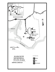
Harkness Memorial State Park map
Trail map of Harkness Memorial State Park in Connecticut.
84 miles away
Mt. Watatic to Wachusett Mountain, Massachusetts...
86 miles away

Palmer Motorsports Park Map
Track Map for Proposed Palmer Motorsports Park
87 miles away
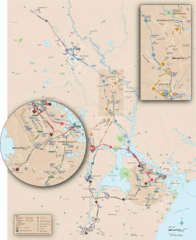
New Hampshire Transit Map
Guide to COAST and Wildcat Transit lines in New Hampshire
88 miles away
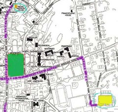
Manchester, New Hampshire City Map
88 miles away
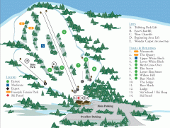
McIntyre Ski Trail Map
Official ski trail map of McIntyre ski area.
89 miles away
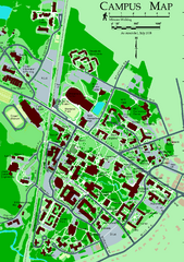
University of New Hampshire Campus Map
University of New Hampshire Campus Map
90 miles away
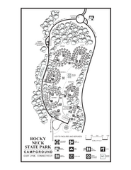
Rocky Neck State Park campground map
Campground map of Rocky Neck State Park in Connecticut.
90 miles away
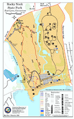
Rocky Neck State Park trail map
Trail map of Rocky Neck State Park in Connecticut.
90 miles away
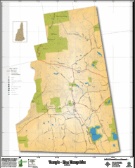
Temple NH Topo Map
Topographical map of Temple, NH area. Shows all roads and points of interest.
90 miles away
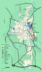
Otter River State Forest summer trail map
Summer trail map of the Otter River State Forest area in Massachusetts.
90 miles away
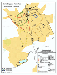
Devils Hophard State Park map
Trail and camprground map for Devils Hopyard State Park in Connecticut.
90 miles away
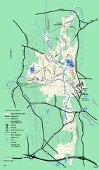
Otter River State Forest winter trail map
Winter usage trail map for Otter River State Park in Massachusetts.
90 miles away
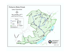
Nehantic State Forest map
Trail map of Nehantic State Forest in Connecticut.
91 miles away
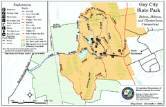
Gay City State Park trail map
Trail map of Gay City State Park in Connecticut.
92 miles away
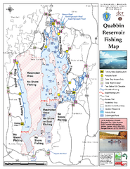
Quabbin Reservoir Fishing Map
Fishing access map of Quabbin Reservoir. Shows all ponds and submerged ponds.
92 miles away
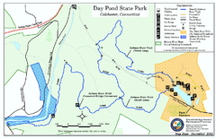
Daypond State Park map
Trail map for Day Pond State Park
93 miles away
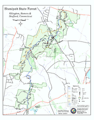
Trail map of Shenipsit State Forest
Trail map of Shenipsit State Forest in Connecticut.
93 miles away

Eastern Long Island Placemat map
Photo of a placemat map from Gosman's Dock Restaurant in Montauk, NY. Shows eastern Long...
93 miles away

Salmon River State Forest trail map
Trail map for Salmon River State Forest in Connecticut.
93 miles away
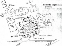
Rockville High School Map
Hand-drawn map of Rockville High School includes all buildings, Parking Lots, and sports fields.
94 miles away
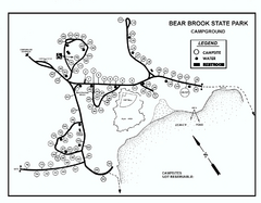
Bear Brook State Park Campground map
Campground map of Bear Brook State Park in New Hampshire
94 miles away
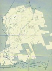
Bear Brook Trails Map
Bear Brook Park Trails and Park map in New Hampshire
95 miles away
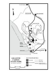
Gillette State Park trail map
Trail map of Gillette Castle State Park in Connecticut.
96 miles away
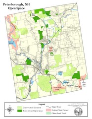
Peterborough Open Space Map
Map of open space lands in Peterborough, New Hampshire
97 miles away
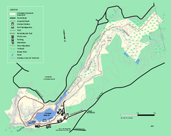
Chicopee State Park trail map
Chicopee State Park trail map
99 miles away
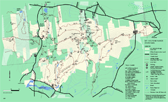
Mount Holyoke Range State Park Map
Trail map of Holyoke Range State Park.
99 miles away
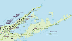
Long Island Wineries Map
Map of LIWC member wineries offering wine tastings to the public.
100 miles away
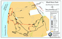
Hurd State Park trail map
Trail map for Hurd State Park in Connecticut.
100 miles away
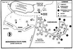
Monadnock State Park map
Campground map of Monadnock State Park in New Hampshire
100 miles away
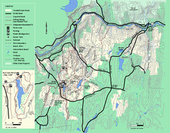
Wendell State Forest trail map
Trail map of Wendell State Forest in Massachusetts.
100 miles away

Cockaponset State Forest North Section trail map
Trail map for the north section of Cockaponset State Forest in Connecticut
100 miles away
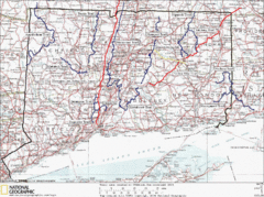
Connecticut Long Distance Trails Map
A map of long distance trails throughout Connecticut. Go to the website below for detailed trail...
100 miles away

Cockaponset State Forest South Section trail map
Trail map for the South Section of Cockaponset State Forest in Connecticut.
100 miles away
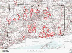
Connecticut Road Cycling Routes Map
A map of road cycling routes throughout Connecticut. Follow the link below for detailed route maps...
101 miles away
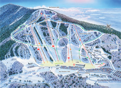
Crotched Mountain Ski Trail Map
Trail map from Crotched Mountain.
101 miles away

