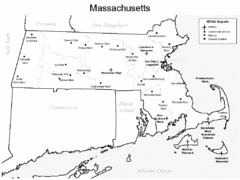
Massachusetts Airports Map
53 miles away
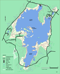
Whitehall State Park trail map
Trail map of Whitehall State Park in Massachusetts.
53 miles away
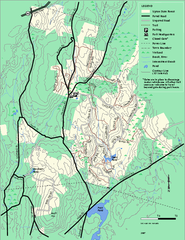
Upton State Forest trail map
Trail map for Upton State Forest in Massachusetts.
54 miles away
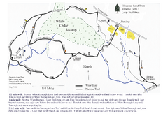
Sprague Farm - Glocester Land Trust Map
54 miles away
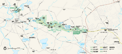
Minute Man National Historical Park Official Map
Official NPS map of Minute Man National Historical Park in Massachusetts. Map shows all areas. The...
55 miles away
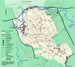
Bradley Palmer State Park winter map
Winter trail map of Bradley Palmer State Park.
56 miles away
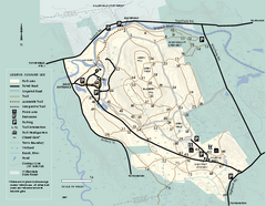
Bradley Palmer State Park summer map
Summer use map of Bradley Palmer State Park in Massachusetts
56 miles away
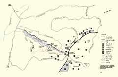
Purgatory Chasm State Reservation trail map
Trail map of Purgatory Chasm State Reservation in Massachusetts.
56 miles away
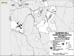
Durfee Hill Wildlife Management Area Map
56 miles away
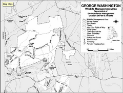
George Washington Wildlife Management Area Map
56 miles away
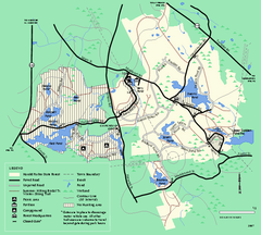
Harold Parker State Forest trail map
Trail map of Harold Parker State Forest in Massachusetts
57 miles away
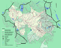
Boxford State Park trail map
Trail map of Boxford State Forest in Massachusetts
57 miles away
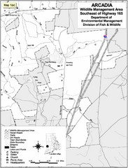
Arcadia Wildlife Management Area Map - Southeast
Reference map shows portion of Arcadia Wildlife Management Area, Rhode Island southeast of Highway...
57 miles away
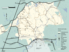
Willowdale State Forest map of Pine Swamp
Trail map of the Pine Swamp area of Willowdale State Park in Massachusetts.
58 miles away
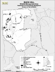
Buck Hill Wildlife Management Area Map
58 miles away
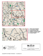
Greater Merrimack Valley, Massachusetts Map
Tourist map of greater Merrimack Valley, Massachusetts. Lodging, forests, and other points of...
58 miles away
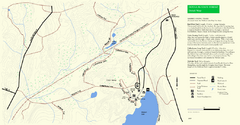
Douglas State Park Detail Map
58 miles away
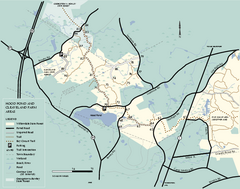
Willowdale State Forest map of Hood Pond
Trail map of the Hood Pond area of the Willowdale State Park in Massachusetts.
58 miles away
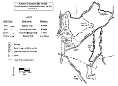
Pulaski State Park Map
58 miles away
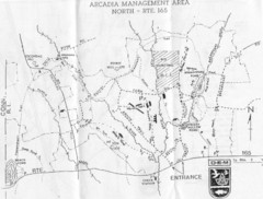
Arcadia Management Area State Map
Trail map for Arcadia Management Area in Rhode Island
58 miles away
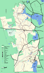
Douglas State Forest trail map
Trail map of the Douglas State Forest in Massachusetts
59 miles away
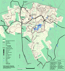
Great Brook Farm State Park trail map
Trail map of Great Brook Farm State Park.
59 miles away
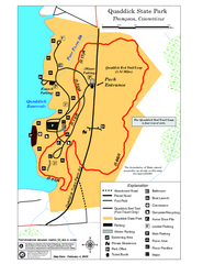
Quaddick State Park Trail Map
59 miles away
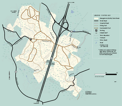
Georgetown-Rowley State Forest winter use map
Winter use map for the Georgetown-Rowley State Forest in Massachusetts.
60 miles away
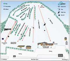
Ski Ward Ski Trail Map
Trail map from Ski Ward.
61 miles away
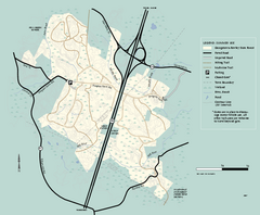
Georgetown-Rowley State Forest summer use map
Summer use map for Georgetown-Rowley State Forest.
61 miles away
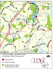
Delaney Conservation Land Map
61 miles away
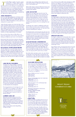
Mt. Pisgah Map - Northboro, Berlin, Boylston Mass
62 miles away
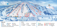
Nashoba Valley Ski Area Ski Trail Map
Trail map from Nashoba Valley Ski Area.
62 miles away

Mine Brook Wildlife Management Area Map
62 miles away
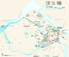
Lowell National Historical Park Official Map
Official NPS map of Lowell National Historical Park in Lowell, Massachusetts. Map shows all of...
62 miles away
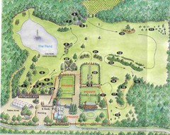
Newbury Perrenial Gardens Guide Map
64 miles away
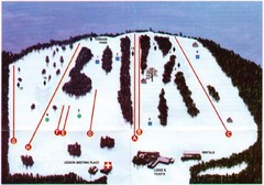
Ski Bradford Ski Trail Map
Trail map from Ski Bradford.
65 miles away
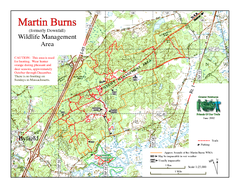
Downfall/Martin Burns WMA Map
65 miles away
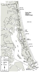
Parker River Map
Map of Parker River National Wildlife Refuge for birdlife
65 miles away
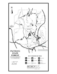
Pachaug State Forest map
Trail map of Pachaug State Forest in Connecticut.
65 miles away
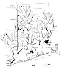
Rhode Island Coastal Watershed Map
Paddling Guide of Pawcatuck River Watershed
65 miles away
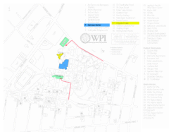
Worcester Polytechnic Institute Campus Map
Map of Worcester Polytechnic Institute. Includes all buildings, parking, streets, and location of...
66 miles away
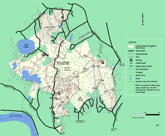
Lowell-Dracut-Tyngsboro State Forest trail map
Trail map for the Lowell-Dracut-Tyngsboro State Forest in Massachusetts
66 miles away
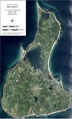
Block Island Aerial Map
Aerial map of Block Island, RI (New Shoreham, RI). True color orthophotography from August 2006.
66 miles away

