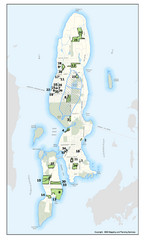
Conanicut Island Land Trust Map
Shows 430 acres of property on Conanicut Island, RI stewarded by the Conanicut Island Land Trust
43 miles away
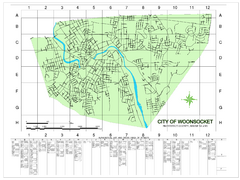
Woonsocket Street Map
Street map of Woonsocket, Rhode Island. Shows street legend.
44 miles away
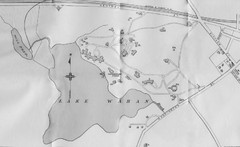
1899 Map of Wellesley College
After College Hall, the original site of Wellesley's faculty, students, classrooms, and...
45 miles away
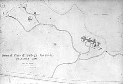
1870s Map of Wellesley College
General plan of college grounds, 1870s.
45 miles away
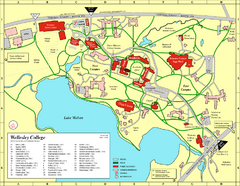
Wellesley College campus map
2008 Wellesley College campus map
45 miles away
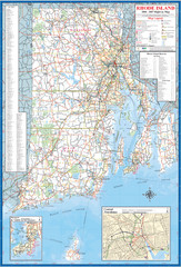
Rhode Island Road Map
Official Rhode Island state highway map. Insets show Newport and Providence.
45 miles away
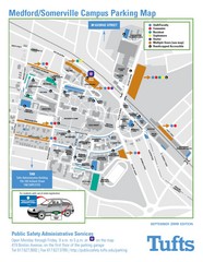
Medford Campus Map
Clear map indicating buildings and parking areas.
45 miles away
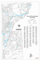
West Warwick Town Map
Street map of W. Warwick
45 miles away
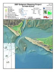
Esther Island Map
DEP Eelgrass map of Esther Island, Nantucket
46 miles away
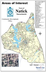
Natick Areas Of Interest Map
Shows points of interest in town of Natick, Massachusetts. Inset of downtown Natick.
46 miles away
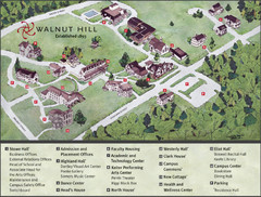
Walnut Hill School Map
Campus Map
46 miles away
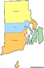
Rhode Island Counties Map
46 miles away
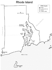
Rhode Island Airports Map
46 miles away
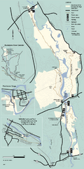
Blackstone Trail Map
Map of Blackstone River State Park in Massachusetts.
46 miles away
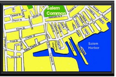
Salem, Massachusetts Guide Map
47 miles away
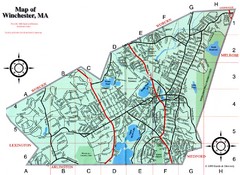
Winchester Town Map
48 miles away
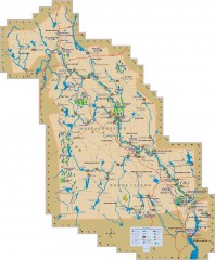
Blackstone Valley tourist map
Tourist map of the Blackston Valley in Rhode Island and Massachusetts. Shows hiking, biking, and...
48 miles away
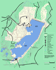
Ashland State Park Map
Map of Ashland State Park in Massachusetts.
49 miles away
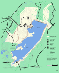
Ashland State Park Map
Clear map and legend marking trails, parking, facilities and more.
49 miles away
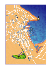
Nantucket Town Street Map
Tourist map of town of Nantucket on Nantucket Island. Shows major streets and points of interest...
49 miles away
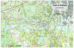
Ashland, MA - Topo Map
Map is provided by the town of Ashland, MA. See town's website for additional maps and...
50 miles away
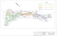
Town of Lexington Historic Districts Map
Identifies the 4 historical districts of Lexington, Massachusetts.
50 miles away
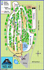
Yawgoo Valley Ski Area Ski Trail Map
Trail map from Yawgoo Valley Ski Area.
50 miles away
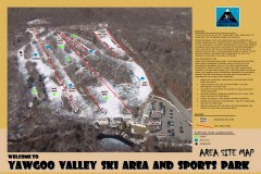
Yawgoo Valley Ski Trail map
Map of Yawgoo Valley Ski area in Exeter, Rhode Island. It is the only skiing resort in Rhode...
50 miles away
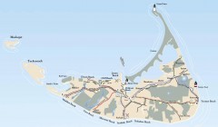
Tourist Map of Nantucket Island
Tourist map of Nantucket Island. Shows all towns and information.
51 miles away
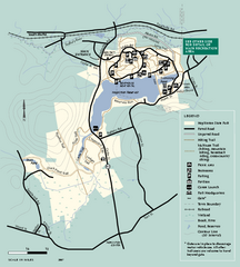
Hopkinton State Park trail map
Trail map of Hopkinton State Park in Massachusetts
52 miles away
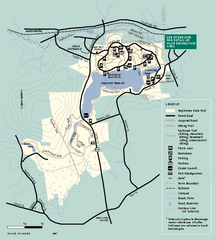
Hopkinton State Park trail map
Trail map of Hopkinton State Park in Massachusetts
52 miles away
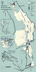
Heritage State Park Map
Clear state park map marking trails and facilities.
52 miles away
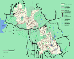
Callahan State Park trail map
Trail map of Callahan State Park in Massachusetts
53 miles away
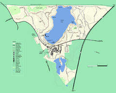
Walden Pond State Reservation trail map
Trail map of Walden Pond State Reservation
53 miles away
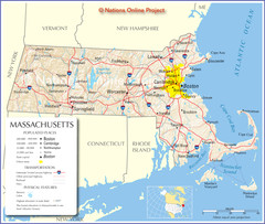
Massachusetts Road Map
53 miles away
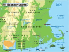
Massachusetts Rivers, Lakes, Mountains and...
53 miles away
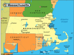
Massachusetts Cities Map
53 miles away
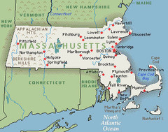
Massachusetts Cities and Mountains Map
53 miles away
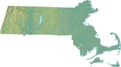
Maryland Relief Map
53 miles away
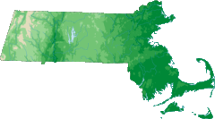
Massachusetts Elevations Map
53 miles away
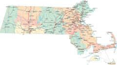
Massachusetts Road Map
53 miles away
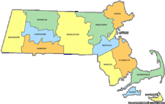
Massachusetts Counties Map
53 miles away
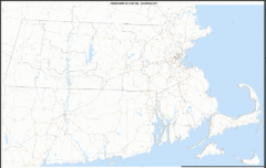
Massachusetts Zip Code Map
Check out this Zip code map and every other state and county zip code map zipcodeguy.com.
53 miles away

