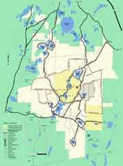
Myles Standish State Forest Winter trail map
Myles Standish State Forest winter use trail map.
0 miles away
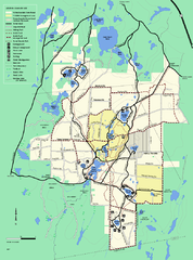
Myles Standish State Forest trail map
Summer trail map for Myles Standish State Forest.
less than 1 mile away
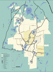
Myles Standish State Forest winter trail map
Winter activity map of all the trails and roads in Myles Standish State Park, MA. Cross country...
less than 1 mile away
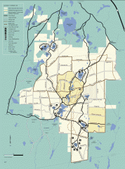
Myles Standish State Forest summer trail map
Map of all the trails and roads in Myles Standish State Park, MA. 15 miles of bicycle trails, 35...
less than 1 mile away
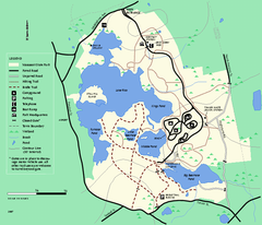
Massasoit State Park trail map
Trail map of Massasoit State Park in Massachusetts
17 miles away
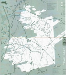
Freetown State Forest Map
Freetown State Forest Map showing mountain biking trails
20 miles away
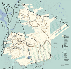
Freetown-Fall River State Forest trail map
Trail map of Freetown-Fall River State Forest in Massachusetts
21 miles away
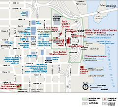
New Bedford Whaling National Historical Park...
Official NPS map of New Bedford Whaling National Historical Park in Massachusetts. Map shows all...
21 miles away
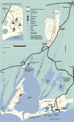
Waquoit Bay National Estuarine Research Preserve...
Trail map of Waquoit Bay National Estuarine Research Preserve in Massachusetts.
22 miles away
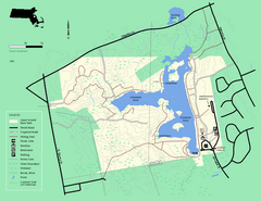
Ames Nowell State Park Map
Simple map of this beautiful state park. Visit and hike, bike, and shop!
24 miles away
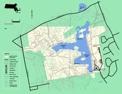
Ames Nowell State Park Map
Trail map of Ames Nowell State Park in Massachusetts
25 miles away
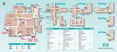
Cape Cod Hospital Map
Campus map of Cape Cod Hospital
25 miles away

Cape Cod Hospital Map
Map of external vicinity of Cape Cod Hospital
25 miles away
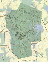
Wompatuck Park Trail Map
Map of Wompatuck Park including trails and roads and park features
26 miles away
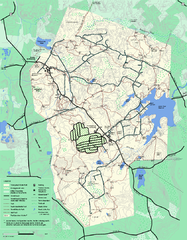
Wompatuck State Park trail map
Trail map of Wompatick State Park in Massachusetts.
26 miles away
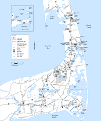
Cape Cod Rail Trail Map
Cape Cod Rail Trail map. The Cape Cod Rail Trail follows a former railroad right-of-way for 22...
27 miles away
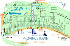
Provincetown, Massachusetts Map
Tourist map of Provincetown, Massachusetts. Shows beaches, visitor's center, bike trails, and...
28 miles away
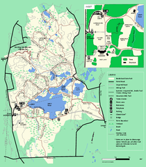
Borderland State Park trail map
Trail map of Borderland State Park in Massachusetts
29 miles away
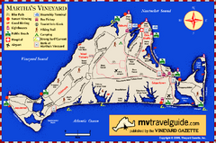
Martha's Vineyard Island Map
Tourist map of island of Martha's Vineyard, Massachusetts.
30 miles away
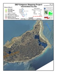
Nashawena Island Eelgrass Map
31 miles away
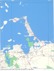
Hull Town Map
31 miles away
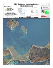
Penekese Island Eelgrass Map
32 miles away
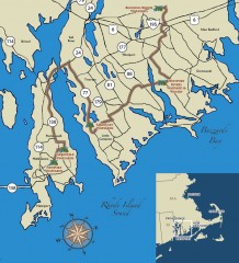
Southeastern New England Wine Trail Map
Map of the Southeastern New England Wine Trail, showing all vineyards and wineries that are members...
32 miles away
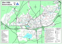
Blue Hills Reservation Trail Map
Trail map of the Blue Hills Reservation in Massachusetts
32 miles away
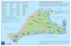
Martha's Vineyard Watershed Map
33 miles away
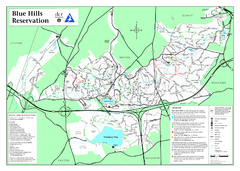
Blue Hills State Park Map
Clearly marked state park map of this beautiful state park.
33 miles away
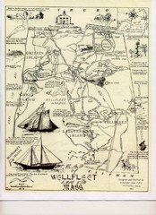
Wellfleet 1930s Tourist Map
A tourist map from the 1930s of Wellfeet, Massachusetts in Cape Cod. Courtesy of Cynthia Blakeley
33 miles away
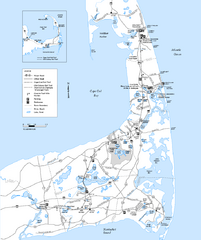
Cape Cod Rail Trail, Cape Cod, Massachusetts Map
Map of the Cape Cod Rail Trail bike path. Shows trails, restrooms, other roads and parking.
34 miles away
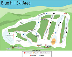
Blue Hills Ski Area Ski Trail Map
Trail map from Blue Hills Ski Area.
34 miles away
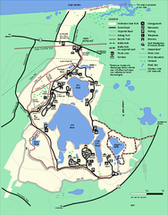
Nickerson State Park trail map
Trail map of Nickerson State Park in Massachusetts.
34 miles away
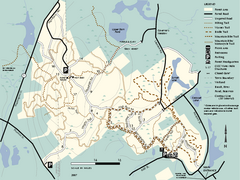
F. Gilbert Hills State Forest trail map
F. Gilbert Hills State Forest trail map in Massachusetts.
34 miles away
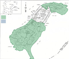
Thompson Island Easement Map
Map of Thompson Island easement. Includes roads, buildings, trails and attractions as well as the...
35 miles away
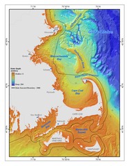
Massachusetts Bay sea floor Map
36 miles away
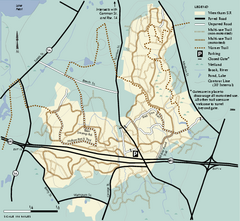
Wrentham State Forest trail map
Trail map of Wrentham State Forest in Massachusetts.
36 miles away
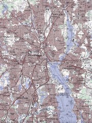
Providence Topo Map
Topo map of Providence, East Providence, Cranston, and Pawtucket, RI. Original scale 1:50,000
36 miles away
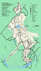
Stony Brook Reservation trail map
Trail map of the Stony Brook Reservation in Massachusetts.
37 miles away
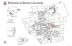
Brown University Map
38 miles away
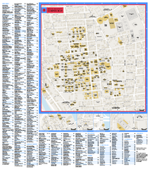
Brown University Campus Map
Official campus map of Brown University.
38 miles away
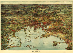
Walker's Map of Boston Harbor and Environs...
Walker's map of Boston Harbor and immediate environs from 1905.
38 miles away
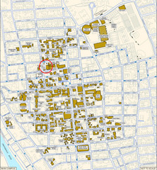
Providence, Rhode Island City Map
38 miles away

