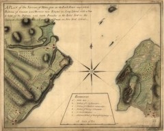
Oyster Bay and Huntington, Huntington Bay Map
A plan of the Narrows of Hells-gate in the East River, near which batteries of cannon and mortars...
7 miles away
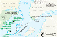
Statue of Liberty National Monument Map
Official NPS map of Statue of Liberty National Monument. Shows Statue of Liberty, Ellis Island, and...
7 miles away
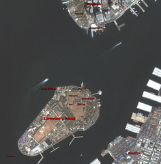
Governor's Island Map
Aerial photo view map of Governor's Island, New York
7 miles away

Queens Botanical Garden Map
Shows facilities and names of different gardens. In many languages.
7 miles away
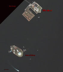
Ellis Island and Statue of Liberty Map
Aerial map of Ellis Island and the Statue of Liberty
8 miles away
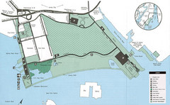
Liberty State Park Map
Map of Liberty State Park, New Jersey on the New York Harbor and next to Ellis Island. Shows...
8 miles away
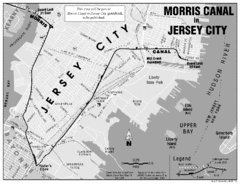
Jersey City Map
8 miles away
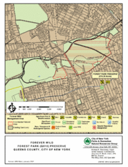
Forest Park Preserve Map
Map of Forest Park Preserve, Queens County, City of New York. 538 acres of trees and fields
8 miles away
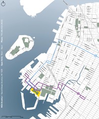
IKEA Brooklyn Map
Location map and map of bus routes and access streets to IKEA in Brooklyn, NY.
8 miles away
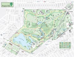
Prospect Park Map
Overview map of Prospect Park, a 585-acre city park located in the heart of Brooklyn. Designed by...
8 miles away
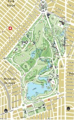
Prospect Park Map
9 miles away
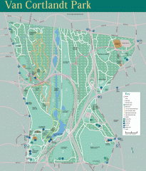
Van Cortlandt Park Trail Map
Trail map of Van Cortlandt Park in the Bronx. Covers 573 acres.
9 miles away
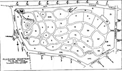
Flushing Cemetery Map
Map of the sections of Flushing Cemetery in Queens
9 miles away

NYC Biking Route Map (Part of Queens, Brookyln...
Official biking route map of part of Queens, Brookyln and Staten Island
9 miles away
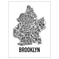
Brooklyn Neighborhood Art Map
Artistic neighborhood map of Brooklyn
9 miles away
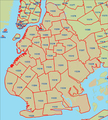
Brooklyn zip codes Map
9 miles away
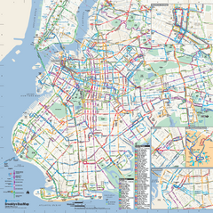
Brooklyn, New York Bus Map
Official MTA Bus Map of Brooklyn, New York. Shows all routes.
9 miles away
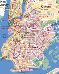
Brooklyn, Attractions Map
10 miles away
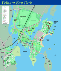
Pelham Bay Park NYC Map
Official detailed map of Pelham bay park, the largest park in New York City at 2,700 acres. Map...
10 miles away

City Island Street Map
Street map of City Island, New York
10 miles away
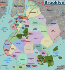
Brooklyn, Neighborhoods Map
11 miles away
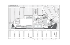
Brooklyn College Campus Map
Brooklyn College Campus Map. All buildings shown.
11 miles away
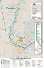
Newark Light Rail system Map
Newark Light rail system
11 miles away
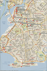
Brooklyn Attractions map
Map of attractions and points of interest in Brooklyn, New York.
11 miles away
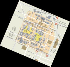
Rutgers University Map
12 miles away
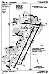
Newark Liberty International Airport Map
13 miles away
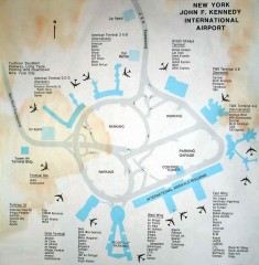
John F. Kennedy International Airport Map
Terminal and Road map of John F. Kennedy International Airport.
14 miles away
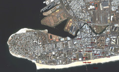
Coney Island Map
Aerial photo Coney Island map
14 miles away
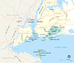
Gateway National Recreation Area Map
Park map of lands in the NPS Gateway National Recreation Area in New York and New Jersey. Shows...
14 miles away

Staten Island Subway/Railway Map
16 miles away
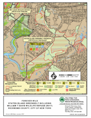
Staten Island Greenbelt Map
16 miles away
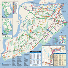
Staten Island Bus Map
Official Bus Map of Staten Island. Shows all routes.
17 miles away
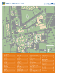
Hofstra University Campus Map
20 miles away
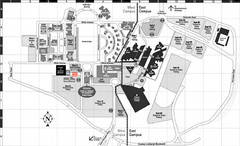
Nassau Community College Map
Campus Map
20 miles away
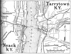
Antique map of Nyack and Tarrytown from 1917
Map of Nyack and Tarrytown, NY from Automobile Blue Book, 1917, Vol. 3
21 miles away
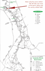
Loantaka Park Map
26 miles away
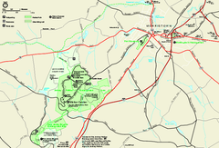
Morristown National Historical Park Official Map
Official NPS map of Morristown National Historical Park in New Jersey. Shows all areas. Tours...
27 miles away
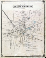
Antique map of Metuchen from 1876
Historic map of Metuchen, New Jersey from 1876
27 miles away

Downtown Morriston Map
27 miles away
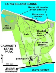
Caumsett State Park Map
Park map of Caumsett State Park on Long Island Sound, New York
28 miles away

