Ukraine Places of Interest Map
Overview map of Ukraine. Shows places of interest. Inset map shows administrative and territorial...
472 miles away

Bácskossuthfalva Map
473 miles away
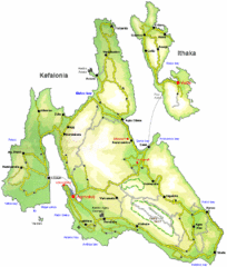
Kefalonia and Ithaka Overview Map
Overview map of the islands of Kefalonia and Ithaka (Ithaki), Greece.
474 miles away
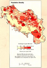
Yugoslavian Population Map
This map clearly marks Yugoslavia's distribution of its population.
476 miles away
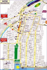
Kalamata Tourist Map
Tourist map of central Kalamata, Greece. Shows points of interest. In Greek.
476 miles away

Bajmok Map
478 miles away
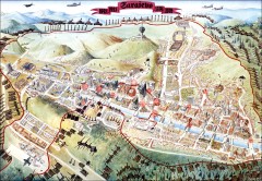
Sarajevo Survival Map 1992-1996
From creator famainternational.com: " Sarajevo Survival Map 92-96 is the ultimate visual...
478 miles away
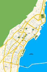
Argostoli City Map
Simple street map of island city of Argostoli, Kefalonia, Greece. Some points of interest shown.
480 miles away
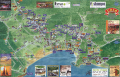
Tsilivi Tourist Map
Tourist map of town of Tsilivi, Zakynthos Island, Greece. Shows businesses. Scanned
481 miles away
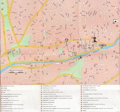
Sarajevo Downtown Map
Free tourist map of downtown Sarajevo from Sarajevo Navigator Brochure
481 miles away
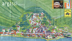
Argassi Tourist Map
Tourist map of Argassi, Zakynthos Island, Greece. Shows all businesses. Scanned.
482 miles away
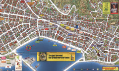
Zakynthos Town Map
Detailed tourist map of Zakynthos Town, Zakynthos Island, Greece. Shows businesses.
482 miles away
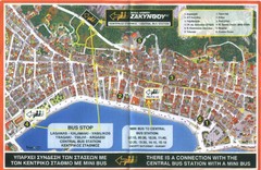
Zakynthos City Tourist Map
Tourist map of Zakynthos city on Zakynthos Island. Shows major points of interest and bus routes...
482 miles away
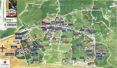
Kalamaki Zakynthos Tourist Map
Tourist map of town of Kalamaki on Zakynthos Island. Scanned.
484 miles away
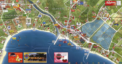
Alykanas and Alykes Map
Tourist map of Alykanas and Alykes, Zakynthos Island, Greece. Shows businesses.
484 miles away
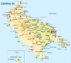
Zakinthos Tourist Map
Tourist map of island of Zakinthos, Greece. Shows symbols for tourist activities.
485 miles away
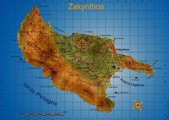
Zakynthos Tourist Map
Tourist map of island of Zakynthos, Greece. Shows points of interest. Scanned.
486 miles away
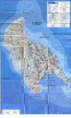
Zakynthos Island Map
Detailed map of Zakynthos Island. Scanned
486 miles away
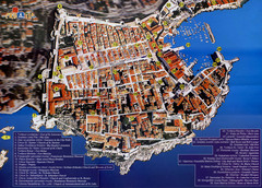
Old Town Dubrovnik Tourist Map
Tourist map of old town Dubrovnik, Croatia. Shows churches, forts, squares, and other points of...
489 miles away
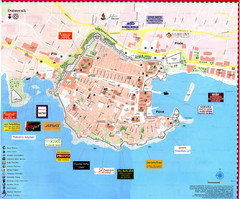
Dubrovnik Map
489 miles away
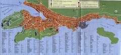
Dubrovnik City Map
City map of Dubrovnik, Croatia. Street index and shows services. Scanned.
489 miles away
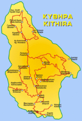
Kythira Island Map
496 miles away
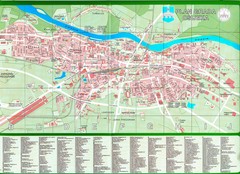
Osijek City Map
City map of Osijek, Croatia. With street index.
498 miles away
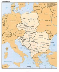
Eastern European Map
Map of Eastern Europe, Poland to Bulgaria
501 miles away
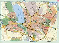
Ternopil Ukraine Map
503 miles away
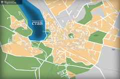
Ternopil_ukr Map
503 miles away
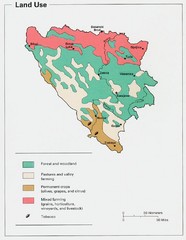
Bosnia and Herzegovina Land Use Map
Map of Bosnia's land use
506 miles away

Car Hire Crete Map
Royal Car Hire Crete is a specialist in reliable and cheap car rental services in Crete. We provide...
507 miles away
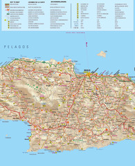
Rent a Car Heraklion Airport Map
Royal Rent a Car Crete is a large network of car rental stations in the most popular tourist...
508 miles away
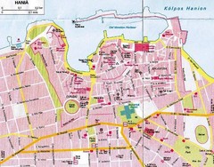
Rent a Car Chania Airport Map
Royal Car Hire Crete is a professinal provider of quality rent a car services on the island of...
508 miles away
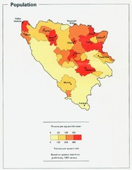
Bosnia and Herzegovina Population Density Map
Map of Bosnia and Herzegovina's population density
508 miles away
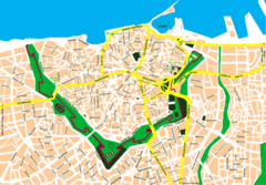
Heraklion City Map
City map of central Heraklion, Crete.
509 miles away
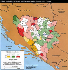
Ethnic Majorities in Bosnia and Herzegovina Map
509 miles away
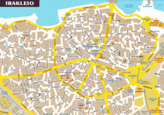
Irakleio City Map
Map of Irakleio, Crete, Greece.
509 miles away
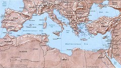
Mediterranean Map
Relief Map with countries and main cities surrounding the Mediterranean Sea.
509 miles away
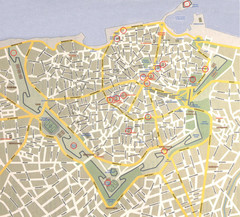
Iraklio City Map
509 miles away
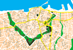
Irakleio Crete City Map
City map of Iraklio, Crete.
510 miles away
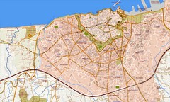
Heraklion Street Map
Street map of Heraklion (Iraklio), Greece on island of Crete. Shows all points of interest. In...
510 miles away

