Rhodes Map
430 miles away

Asia Minor Under the Greeks and Romans Reference...
Guide to Asia Minor under Greek and Roman control
431 miles away
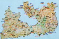
Milos Tourist Map
Tourist map of Milos, Greece showing towns, airports, beaches and roads.
431 miles away
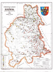
Bukovina Ethnographic Map
Ethnographic map of Bukovina, currently split between Romania and Ukraine. Map as of 1910. In...
432 miles away
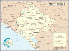
Montenegro map
432 miles away
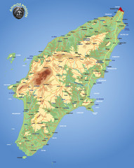
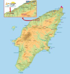
Rhodes Physical Map
Shaded physical map of island of Rhodes, Greece.
432 miles away
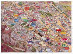
Thira Santorini Tourist Map
Birds-eye view tourist map of Thira (Fira), Santorini, Greece. Shows logos of local businesses.
432 miles away
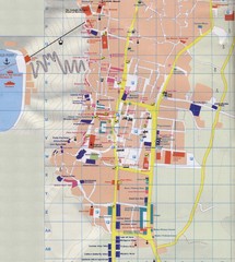
Fira Tourist Map
Tourist map of town of Fira, Santorini, Greece
432 miles away
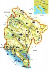
Montenegro tourist map
Illustrated tourist map of Montenegro.
433 miles away
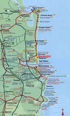
Santorini, Greece Beach Tourist Map
434 miles away
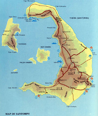
Santorini Tourist Map
Tourist map of Santorini shows beaches, cities and roads.
434 miles away
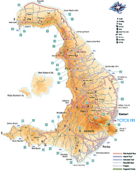
Santorini Tourist Map
Tourist map of Greek island of Santorini. Shows roads and points of interest with legend.
434 miles away
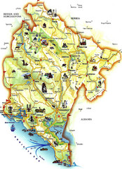
Montenegro Tourist Map
Tourist Map of Montenegro identifing tourist sites, roads and cities.
435 miles away
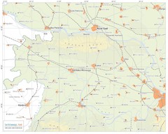
Urban areas in Srem region (Vojvodina, Serbia) Map
Srem is a part of Vojvodina province between river Sava and Danube. Largest places are Sremska...
436 miles away

Bácsföldvár Map
438 miles away
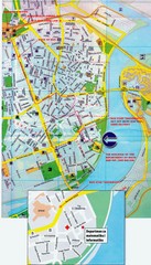
Novi Sad City Map
City map of central Novi Sad, Serbia. Bus route to a conference drawn on top of scanned map.
438 miles away
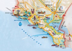
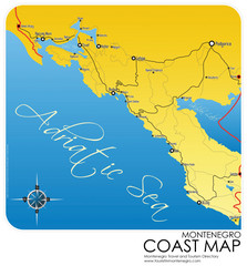
Montenegro coastal Map
438 miles away
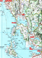
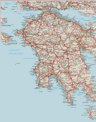
Igoumenitsa to Patras Travel Map
439 miles away
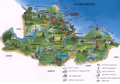
Samsun Tourist Map
Tourist map of Samsun, Turkey area on the Black Sea. Shows points of interest.
439 miles away
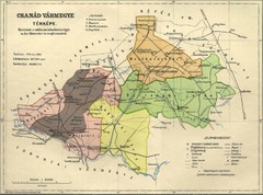
Csanád vármegye Map
439 miles away
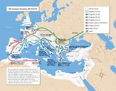
Germanic Invasions Map 378-439
Shows the breakdown of the Roman frontier in the late 4th and early 5th centuries.
440 miles away
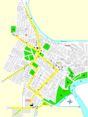
Óbecse Map
440 miles away

Temerin Map
441 miles away
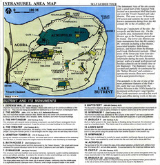
Butrint and its monuments Map
441 miles away
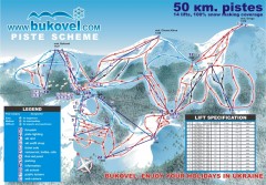
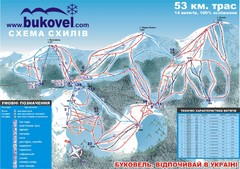
'Bukovel' Ski Resort Piste Map
Bukovel Ski Resort Piste Scheme. Near Yaremcha, Ukraine
441 miles away
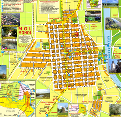
Mohol Map
441 miles away
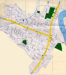
Péterréve Map
441 miles away
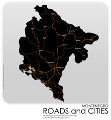
Montenegro Roads and Cities Map
Simple Map of Roads and Cities in Montenegro
442 miles away
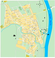
Ada város Map
442 miles away
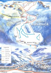
Bjelasica Ski Trail Map
Trail map from Bjelasica.
442 miles away
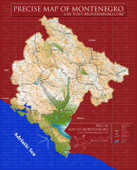
Montenegro precise Map
443 miles away
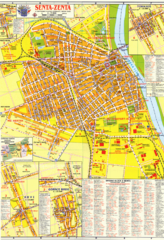
Zenta Map
449 miles away
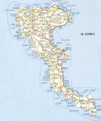
Corfu Guide Map
449 miles away
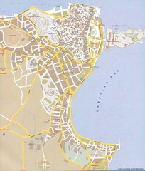
Corfu Town Map
Tourist map of town of Corfu (Kerkyra) on the island of Corfu, Greece.
449 miles away
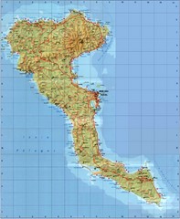
Corfu Tourist Map
Tourist map of island of Corfu, Greece. Shows roads and points of interest.
449 miles away
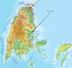
Lefkada Tourist Map
Tourist map of island of Lefkada, Greece.
451 miles away
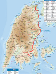
Lefkada Tourist Map
Tourist map of Ionian island of Lefkada, Greece. Shows points of interest. Also shows island of...
451 miles away

