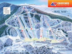
Crotched Mountain Ski Trail Map
Official ski trail map of Crotched Mountain ski area from the 2007-2008 season.
51 miles away
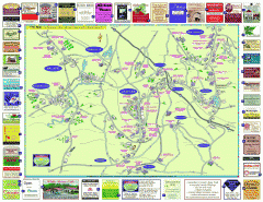
Columbia County - Austerlitz, Canaan, Chatham...
Tourist map of Columbia County including towns of Austerlitz, Canaan, Chatham, East Chatham Ghent...
52 miles away
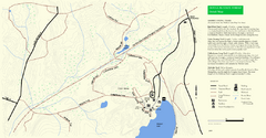
Douglas State Park Detail Map
52 miles away
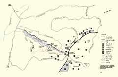
Purgatory Chasm State Reservation trail map
Trail map of Purgatory Chasm State Reservation in Massachusetts.
52 miles away
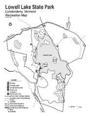
Lowell Lake State Park map
Campground map for Lowell Lake State Park in Vermont
52 miles away
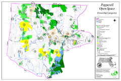
Pepperell Conservation Land and Open Spaces Map
Map showing conservation land and open spaces in Pepperell, MA.
52 miles away
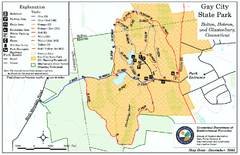
Gay City State Park trail map
Trail map of Gay City State Park in Connecticut.
53 miles away
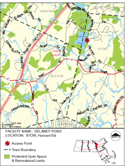
Delaney Conservation Land Map
53 miles away
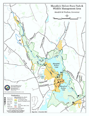
Mansfield Hollow State Park map
Map for Mansfield Hollow State Park and Wildlife Management Area in Connecticut.
53 miles away

Camp Morgan Trail Map
54 miles away
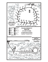
Mashamoquet Brook State Park campground map
Campground map of Mashamoquet Brook State Park in Connecticut.
54 miles away
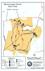
Mashamoquet Brook State Park trail map
Trail map of Mashamoquet Brook State Park in Connecticut.
54 miles away
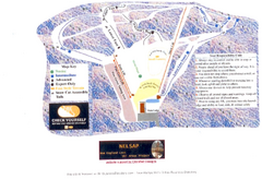
Arrowhead Arrowhead Ski Trail Map
Trail map from Arrowhead.
54 miles away
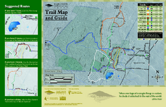
Equinox Preservation Trail map
Trail map of the Equinox Preservation Trust in Manchester, VT. The Equinox Preservation is over...
54 miles away
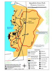
Quaddick State Park Trail Map
54 miles away
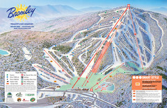
Bromley Mountain Ski Trail Map
Trail map from Bromley Mountain.
54 miles away
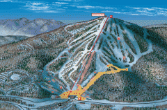
Bromley Mountain Ski Area map 2006-07
Simple ski trail map of Bromley Mountain Ski Area for the 2006-2007 season.
54 miles away
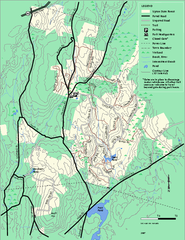
Upton State Forest trail map
Trail map for Upton State Forest in Massachusetts.
54 miles away
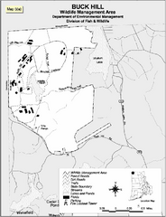
Buck Hill Wildlife Management Area Map
54 miles away
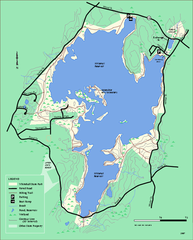
Whitehall State Park trail map
Trail map of Whitehall State Park in Massachusetts.
55 miles away
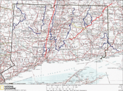
Connecticut Long Distance Trails Map
A map of long distance trails throughout Connecticut. Go to the website below for detailed trail...
55 miles away
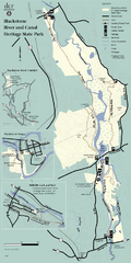
Heritage State Park Map
Clear state park map marking trails and facilities.
56 miles away
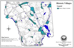
Historic Villages of Mansfield, Connecticut Map
Historical villages outlined on the map of the existing city.
56 miles away
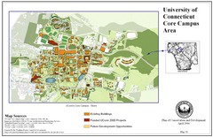
University of Connecticut Campus Map
Map shows current, funded projects and future development for UConn.
56 miles away
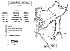
Pulaski State Park Map
56 miles away
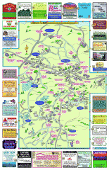
Columbia County - Boston Corners, Copake, Copake...
Tourist map of Columbia County, Mass. Includes towns of Boston Corners, Copake, Copake Falls...
57 miles away
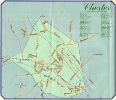
Chester Town Map
57 miles away
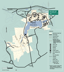
Hopkinton State Park trail map
Trail map of Hopkinton State Park in Massachusetts
57 miles away
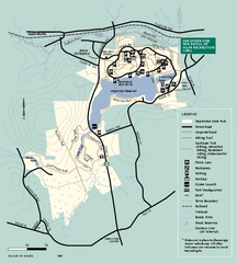
Hopkinton State Park trail map
Trail map of Hopkinton State Park in Massachusetts
57 miles away
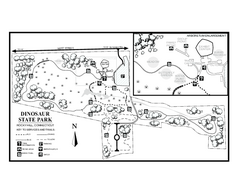
Dinosaur State Park map
Trail map of Dinosaur State Park in Connecticut.
58 miles away
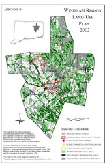
2002 Windham Region Land Use Map
Regional Land Use Guide Map for Planning Purposes
58 miles away
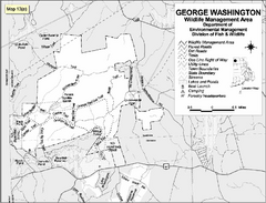
George Washington Wildlife Management Area Map
58 miles away
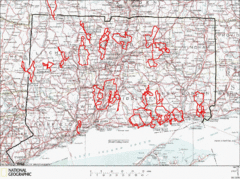
Connecticut Road Cycling Routes Map
A map of road cycling routes throughout Connecticut. Follow the link below for detailed route maps...
58 miles away
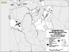
Durfee Hill Wildlife Management Area Map
58 miles away

North Mohawk Mountain State Forest (Winter Trails...
Winter trail map for North Mohawk Mountain State Forest in Connecticut.
58 miles away
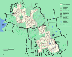
Callahan State Park trail map
Trail map of Callahan State Park in Massachusetts
58 miles away

North Mohawk Mountain State Forest (Summer Trails...
Summer trail map of the North section of Mohawk Mountain State Forest in Connecticut.
58 miles away
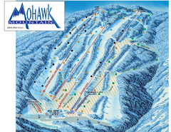
Mohawk Mountain Ski Trail Map
Ski trail map of Mohawk Mountain ski area
58 miles away
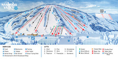
Nashoba Valley Ski Area Ski Trail Map
Trail map from Nashoba Valley Ski Area.
58 miles away

