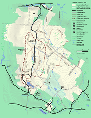
Beartown State Park Summer Map
Summer Map of Beartown State Park in Massachusetts.
39 miles away
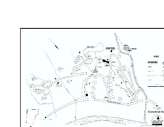
Townshend State Park Campground Map
Campground map of Townshend State Park in Vermont
39 miles away
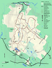
Beartown State Park Winter Map
Winter use map of Beartown State Park in Massachusetts
40 miles away
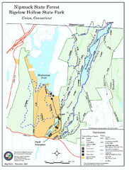
Bigelow Hollow State Park trail map
Trail map of Bigelow Hollow State Park in Connecticut.
40 miles away
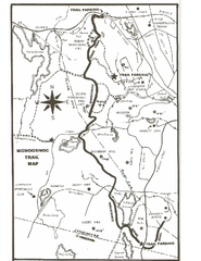
Monoosnoc Trail Map
40 miles away
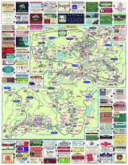
South County Berkshires map
Tourist map of Great Barrington, Housatonic, Sheffield, S. Egremont, N. Egremont Lenox, Stockbridge...
41 miles away
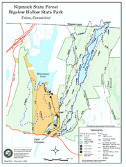
Nipmuck State Forest trail map
Trail map of Nipmuck State Forest and Bigelow Hollow State Park in Connecticut.
41 miles away
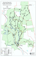
American Legion State Forest trail map
Trail map of American Legion and Peoples State Forests in Connecticut.
42 miles away
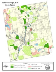
Peterborough Open Space Map
Map of open space lands in Peterborough, New Hampshire
42 miles away
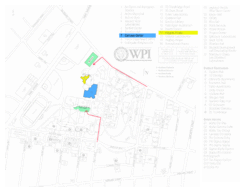
Worcester Polytechnic Institute Campus Map
Map of Worcester Polytechnic Institute. Includes all buildings, parking, streets, and location of...
42 miles away
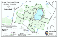
Great Pond State Park trail map
Trail map of Great Pond State Forest in Connecticut.
42 miles away
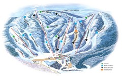
Butternut Ski Area Ski Trail Map
Trail map from Butternut Ski Area.
43 miles away
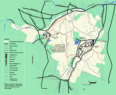
Willard Brook State Forest trail map
Trail map of Willard Brook State Forest in Massachusetts.
43 miles away
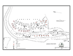
Jamaica State Park Campground Map
Campground map of Jamaica State Park in Vermont
43 miles away
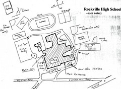
Rockville High School Map
Hand-drawn map of Rockville High School includes all buildings, Parking Lots, and sports fields.
43 miles away
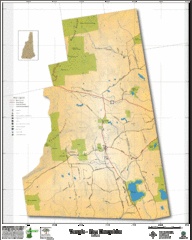
Temple NH Topo Map
Topographical map of Temple, NH area. Shows all roads and points of interest.
44 miles away
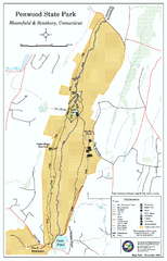
Penwood State Park map
Trail map of Penwood State Park in Connecticut.
44 miles away
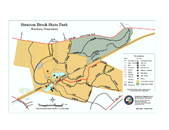
Stratton Brook State Park map
Trail map of Stratton Brook State Park in Connecticut.
44 miles away
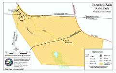
Cambell Falls State Park map
Trail map of Campbell Falls State Park Reserve in Connecticut
45 miles away
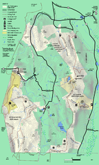
Mt. Washington State Forest trail map
Trail map of Mt. Washington State Forest
45 miles away
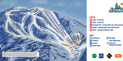
Ski Sundown Ski Trail Map
Trail map from Ski Sundown, which provides downhill and night skiing. It has 5 lifts servicing 15...
45 miles away
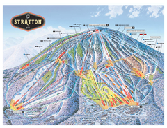
Stratton Mountain ski area trail map 2006-07
Official ski trail map of Stratton Mountain ski area from the 2006-2007 season.
46 miles away
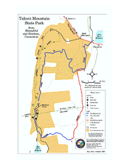
Talcott Mountain State Park map
Trail map of Talcott Mountain State Park in Connecticut.
46 miles away
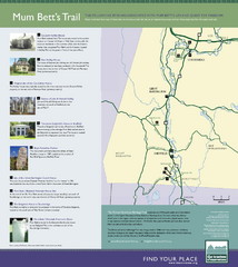
Mum Bett's Trail Map
Historic African American trail guide
47 miles away
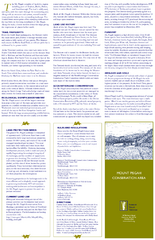
Mt. Pisgah Map - Northboro, Berlin, Boylston Mass
48 miles away
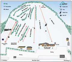
Ski Ward Ski Trail Map
Trail map from Ski Ward.
48 miles away

Mine Brook Wildlife Management Area Map
48 miles away
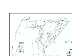
Shaftsbury State Park Map
Campground map of Shaftsbury State Park in Vermont.
48 miles away
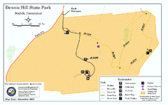
Dennis Hill State Park map
Trail map of Dennis Hill State Park in Connecticut.
48 miles away
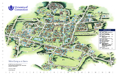
University of Connecticut - Storrs Campus Map
University of Connecticut - Storrs Campus Map. All areas shown.
50 miles away
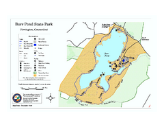
Burr Pond State Park map
Map of Burr Pond State Park in Connecticut.
50 miles away

Wadsworth Athenium Museum Location Map
Wadsworth Athenium visitor location map with locations of major buildings, streets, parks, and...
50 miles away
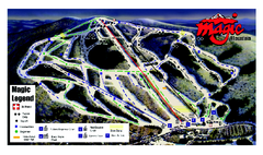
Magic Mountain Ski Trail map
Official ski trail map of Magic Mountain ski area from the 2006-2007 season.
50 miles away
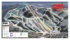
Magic Mountain Ski Trail Map
Trail map from Magic Mountain.
50 miles away
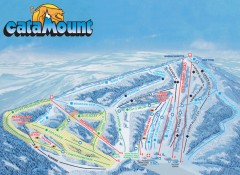
Catamount Ski Trail Map
Official ski trail map of Catamount ski area from the 2006-2007 season.
50 miles away
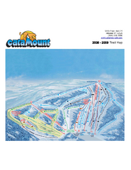
Catamount Ski Area Ski Trail Map
Trail map from Catamount Ski Area.
51 miles away
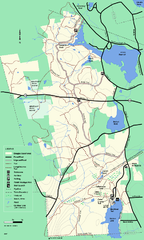
Douglas State Forest trail map
Trail map of the Douglas State Forest in Massachusetts
51 miles away
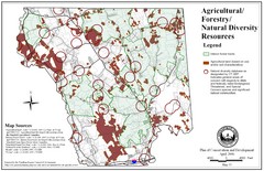
Mansfield Conservation and Development Map
Guide to Agricultural, Forestry and Natural Diversity Resources
51 miles away

Mansfield Cemetery Map
51 miles away
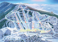
Crotched Mountain Ski Trail Map
Trail map from Crotched Mountain.
51 miles away

