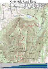
Mt. Greylock Road Race Course Map
Course map of the annual Mount Greylock Road Race. 8 Miles (uphill). Start/Finish: Mt. Williams...
32 miles away
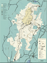
Mt. Greylock State Reservation map
Official summer map of the Mount Greylock State Reservation. At 3,491 feet, Mount Greylock is the...
32 miles away
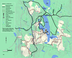
Tolland State Forest winter trail map
Winter usage trail map of the Tolland State Forest area in Massachusetts.
33 miles away
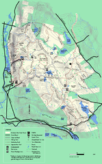
October Mountain State Forest trail map
Trail map of October Mountain State Forest in Massachusetts.
33 miles away
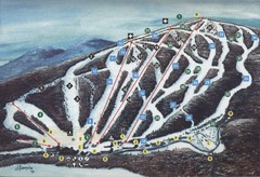
Brodie Ski Trail Map
Trail map from Brodie.
33 miles away
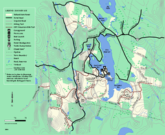
Tolland State Forest summer trail map
Summer use map for Tolland State Forest in Massachusetts.
34 miles away
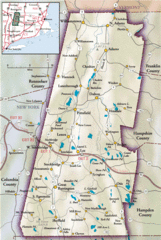
Berkshires Map
Overview map of the Berkshires region of Western Massachusetts
34 miles away
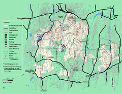
Brimfield State Forest trail map
Trail map of Brimfield State Forest in Massachusetts
34 miles away
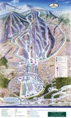
Haystack Club Ski Trail map
Official ski trail map of Haystack ski area from the 2006-2007 season.
34 miles away
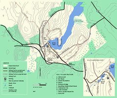
Moore State Park trail map
Trail map of Moore State Park in Massachusetts.
34 miles away
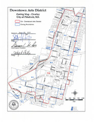
Pittsfield,, Massachusetts City Map
34 miles away
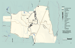
Granville State Forest trail map
Trail map of Granville State Forest in Massachusetts
35 miles away
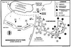
Monadnock State Park map
Campground map of Monadnock State Park in New Hampshire
35 miles away
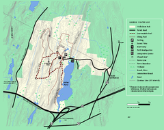
Wells State Park winter trail map
Winter use trail map of Wells State Park in Massachusetts.
35 miles away
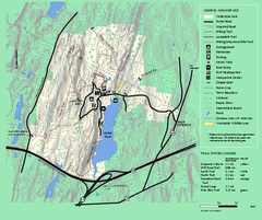
Wells State Park trail map
Trail map of Wells State Park in Massachusetts.
35 miles away
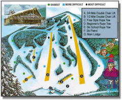
Bousquet Ski Area Ski Trail Map
Trail map from Bousquet Ski Area.
36 miles away
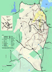
Wachusett Mountain State Reservation trail map
Trail map of Wachusett Mountain State Reservation in Massachusetts.
36 miles away
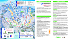
Wachusett Mountain Ski Trail Map
Trail map from Wachusett Mountain.
36 miles away
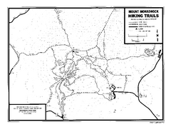
Mount Monadnock State Park Map
Official hiking map of the park. With its thousands of acres of protected highlands, 3,165-ft...
36 miles away
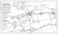
Lenox Town Map
Hand-drawn town map of Lenox, Mass. Bordered by Lenox Mountain and October Mountain. Shows points...
36 miles away
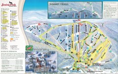
Jiminy Peak Ski Trail Map
Official ski trail map of Jiminy Peak ski area from the 2007-2008 season.
36 miles away
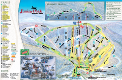
Jiminy Peak Resort Ski Trail Map
Trail map from Jiminy Peak Resort.
36 miles away
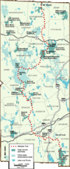
Midstate Trail Map
Map of the Midstate Trail, which runs from Ashburnham to the Rhode Island border. Shows state...
36 miles away
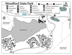
Woodford State Park Campground Map
Campground map for Woodford State Park in Vermont
36 miles away
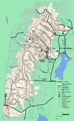
Pittsfield State Forest winter trail map
Winter use trail map of Pittsfield State Forest in Massachusetts.
36 miles away
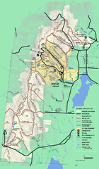
Pittsfield State Forest summer trail map
Summer use trail map of Pittsfield State Forest in Massachusetts.
36 miles away
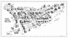
Lenox Village Map
Hand-drawn village map of historic center of Lenox, Massachusetts
37 miles away
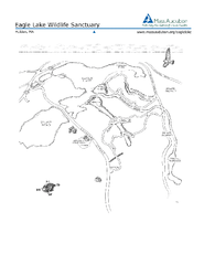
Eagle Lake Conservation Area Map
37 miles away
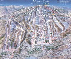
Mount Snow Trail Map 2001
Ski trail map of Mount Snow ski area, estimated 2001
37 miles away
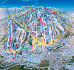
Mount Snow Ski Trail Map - main face
Trail map of main face of Mt Snow ski area near Wilmington, Vermont
37 miles away
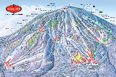
Stratton Mountain Resort Ski Trail Map
Trail map from Stratton Mountain Resort.
37 miles away
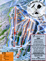
Mount Snow Carinthia Terrain Park Ski Trail Map
Trail map from Mount Snow.
37 miles away
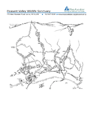
Pleasant Valley Wildlife Sanctuary Trail Map
Trail map of Pleasant Valley Wildlife Sanctuary
37 miles away
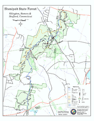
Trail map of Shenipsit State Forest
Trail map of Shenipsit State Forest in Connecticut.
38 miles away
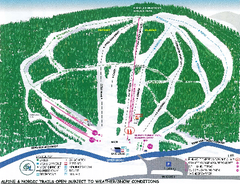
Granite Gorge Ski Trail Map
Trail map from Granite Gorge. This ski area opened in 2005.
38 miles away
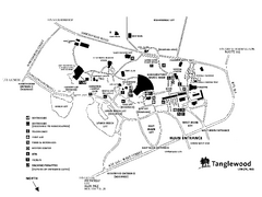
Tanglewood Map
Detailed map of the Tanglewood grounds that includes the location of the Box Office, Friends Office...
38 miles away
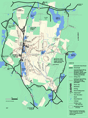
Leominster State Forest trail map
Trail map of Leominster State Forest in Massachusetts
38 miles away
Mt. Watatic to Wachusett Mountain, Massachusetts...
38 miles away
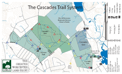
Cascades Park Map
39 miles away
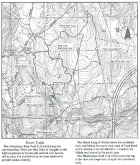
Trout Brook Conservation Area Map
39 miles away

