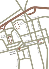
Downtown Asheville Map
Located in the heart of Asheville’s professional, municipal and cultural activity, Capital...
257 miles away
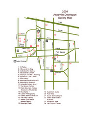
Downtown Asheville Galleria Map
Numbered shopping map of Downtown Asheville.
257 miles away
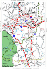
Asheville, NC Tourist Map
257 miles away

Bathymetric Chart of Mississippi Gulfshore...
257 miles away
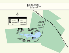
Barnwell State Park Map
Simple map of this state park.
257 miles away
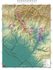
Alexander Mountain Estate Map
Vineyards in Alexander, North Carolina
258 miles away
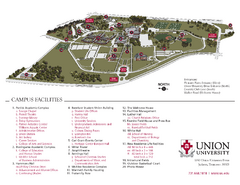
Union University Jackson Campus Map
Campus map of Union University in Jackson, Tennessee
259 miles away
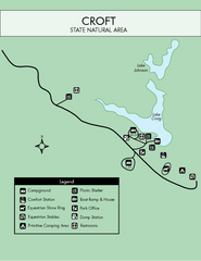
Croft State Park Map
Simple state park map.
259 miles away
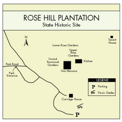
Rose Hill Plantation Map
Clear and simple state park map.
260 miles away
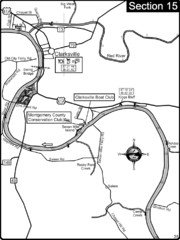
Clarksville, TN-Cumberland River Map
Cumberland River flows past Clarksville that has a great riverfront and services for traveling...
260 miles away
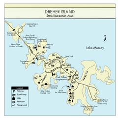
Dreher Island State Park Map
Clearly labeled state park map.
261 miles away
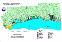
Mississippi Gulf Ecological Management Sites Map
GEMS area map
264 miles away
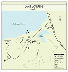
Lake Warren State Park Map
Clearly marked state park map.
265 miles away
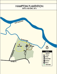
Hampton Plantation State Park Map
Clear and easy to read map.
265 miles away
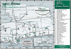
Gulfport Recreational Facilities Map
Shows parks and other recreational points of interest in Gulfport, Mississippi.
267 miles away
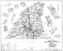
Mccreary County General Highway Map
Map of McCreary County with road, waterways and towns identified.
267 miles away
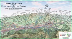
Black Mountain Panorama map
Panoramic map of the Black Mountain, NC and Swannanoa River Valley. Shows all mountains with...
268 miles away
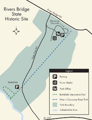
Rivers Bridge State Park Map
Nice and clear map of this history state park.
269 miles away
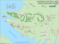
Barren River Lake State Resort Park Map
Map of facilities and golf course in Barren River Lake State Resort Park.
269 miles away
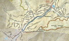
Montreat trail map
Detailed guide to the trail system surrounding the village of Montreat, NC.
269 miles away
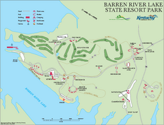
Barren River State Park map
Recreation map for Barren River Lake State Park in Kentucky
269 miles away
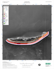
Ship Island Map
270 miles away
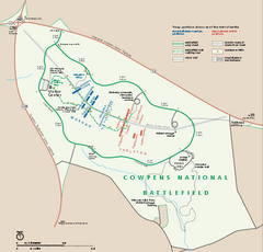
Cowpens National Battlefield Official Map
Official NPS map of Cowpens National Battlefield in South Carolina. Open 9:00 a.m. - 5:00 p.m...
270 miles away

South Carolina Counties Map
270 miles away
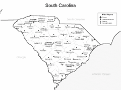
South Carolina Airports Map
270 miles away
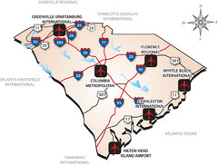
South Carolinas Airports Map
270 miles away
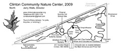
Clinton Community Nature Center Map
A relaxing walk through the Clinton Community Nature Center.
271 miles away
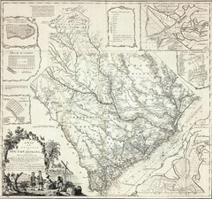
James Cook's South Carolina Map
English cartographer and explorer James Cook's 1773 map of English colony of South Carolina...
271 miles away
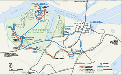
Fort Donelson National Battlefield Official Map
Official NPS map of Fort Donelson National Battlefield in Tennessee. Fort Donelson visitor center...
271 miles away
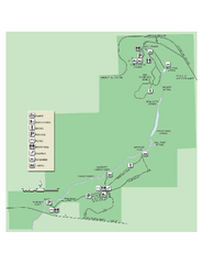
Ichetucknee Springs State Park Map
Map of park with detail of trails and recreation zones
272 miles away
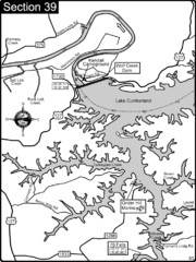
Lake Cumberland-Cumberland River Map
Lake Cumberland is formed by a dam on the Cumberland River in Section 39 of the Cumberland River...
272 miles away
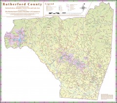
Tourist map of Rutherford County
Map of Rutherford County with detail panels for Rutherfordton, Spindale, Forest City, and Lake Lure.
274 miles away
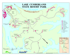
Lake Cumberland State Resort Park Map
Map of trails and facilities for Lake Cumberland State Resort Park.
274 miles away
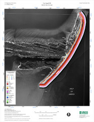
Cat Island Map
Cat Island NW Coastal Classification
274 miles away

Fort McAllister Historic Park Map
Map of park with detail of trails and recreation zones
276 miles away
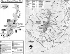
Mount Mitchell State Park map
Official map of Mt. Mitchell State Park in North Carolina. Park contains the 6,684 ft summit of...
276 miles away

Wolf Laurel Ski Resort Ski Trail Map
Trail map from Wolf Laurel Ski Resort.
276 miles away
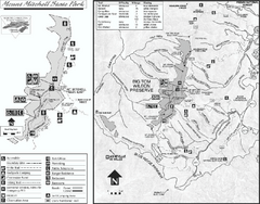
Mount Mitchell State Park map
Detailed recreational map for Mt. Mitchell State Park in North Carolina
277 miles away
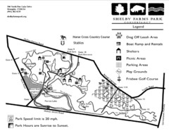
Shelby Farms Park Activities Areas Map
Visitor map of Shelby Farms Park. Shows parameters of dog areas, parking, play grounds, shelters...
277 miles away
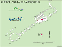
Cumberland Falls Map
278 miles away

