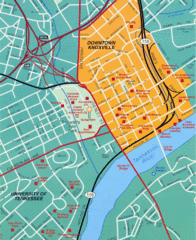
Knoxville, TN Tourist Map
231 miles away
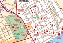
Knoxville, TN Tourist Map
231 miles away
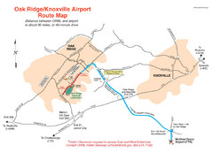
Knoxville and Oakridge Airports Map
231 miles away

Knoxville, Tennessee City Map
231 miles away

Map of Southern Blue Ridge Escarpment
Map of the Nature Conservancy's Southern Blue Ridge Escarpment project area showing protected...
232 miles away
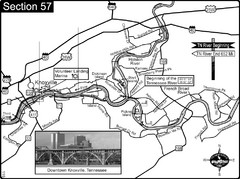
Knoxville, TN Tennessee River/Holston River...
This is the source of the Tennessee River at the confluence of the Holston River and French Broad...
233 miles away

Panoramic View of the Reserve Map
Panoramic map of the view northeast from 'Gladiola Ridge' in Brevard, North Carolina.
233 miles away
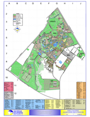
Georgia Southern University Map
Georgia Southern University Campus Map. All buildings shown.
233 miles away
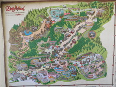
Dollywood Park Map
233 miles away
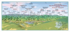
Northwest Reserve Panorama Map
Panoramic Map of the view Northwest from the Reserve in Brevard, North Carolina.
233 miles away
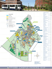
Georgia Southern University Map
Campus Map
233 miles away
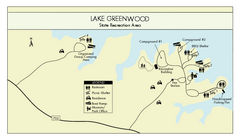
Lake Greenwood State Park Map
Clearly marked state park map on a beautiful waterfront.
233 miles away
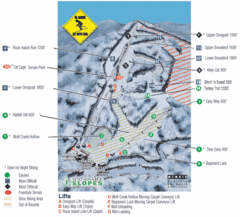
Cataloochee Ski Area Ski Trail Map
Trail map from Cataloochee Ski Area.
234 miles away
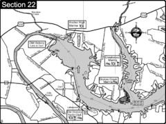
Old Hickory Lake-Cumberland River Map
Section 22 from the Cumberland River Guidebook shows the dam that forms Old Hickory Lake near...
234 miles away
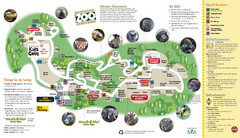
Knoxville Zoo Map
234 miles away
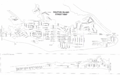
Dauphin Island Street Map
235 miles away

Mississippi & Alabama coastal area, 1732 Map
235 miles away

Waynesville and Lake Junaluska Panoramic Map
Panoramic Map taking in Waynesville, Lake Junaluska and the Richland Creek watershed in Haywood...
235 miles away
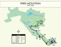
Paris Mountain State Park Map
Clearly labeled map of this beautiful state park.
236 miles away
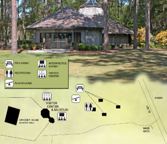
Forest Capital Museum State Park Map
Map of park with detail of recreation zones
236 miles away

The Reserve Shaded Relief Map
This map is a shaded relief property map of The Reserve in North Carolina with survey boundaries...
236 miles away

Dauphin Island Change Detection Map
236 miles away
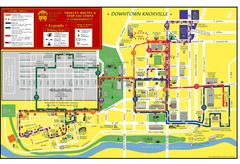
Knoxville, TN Tourist Map
236 miles away
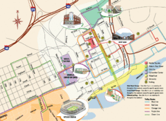
Knoxville, TN Tourist Map
236 miles away
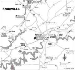
Knoxville, TN Tourist Map
236 miles away
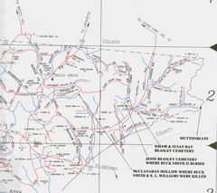
Trousdale County Muttonbluff Map
Pictured is a part of a map of Trousdale County containing the extreme northeast section. The...
237 miles away
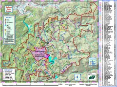
DuPont State Forest Trail map
Trail map of DuPont State Forest. Shows all trails with mileages. From dupontforest.com: "...
239 miles away
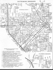
Hattiesburg, Mississippi City Map
239 miles away
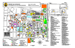
University of Southern Mississippi Map
240 miles away
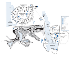
Laura S. Walker State Park Map
Map of park with detail of trails and recreation zones
242 miles away
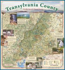
Transylvania County Tourism Development Map
Transylvania County tourist map, showing all points of interest including hiking and picnic areas.
242 miles away
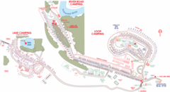
Suwanee Park Camping Map
243 miles away
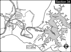
Celina, TN Dale Hollow Lake-Cumberland River Map
Celina Tennessee is the location for the head of navigation for the Cumberland River at the fork of...
248 miles away
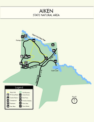
Aiken State Park Map
Small and simple state park map.
249 miles away
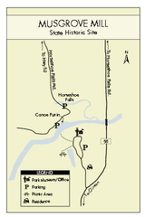
Musgrove Mill State Park Map
Clearly marked state park map.
249 miles away

Asheville School Campus map
Map of the 300-acre campus of Asheville School, a private boarding school for grades 9-12 with...
252 miles away
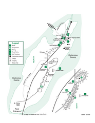
Stephen C. Foster State Park Map
Map of park with detail of trails and recreation zones
253 miles away
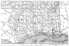
Mississippi Gulf Coast counties, 1906 Map
254 miles away
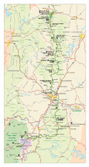
Asheville, North Carolina Parkway Map
254 miles away
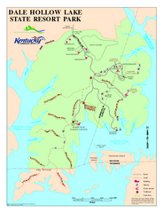
Dale Hollow Lake State Park Map
Map of trails and facilities of Dale Hollow Lake State Park.
256 miles away

