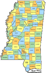
Mississippi Counties Map
216 miles away
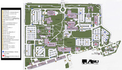
Augusta State University Map
Campus map
217 miles away
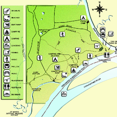
Ochlockonee River State Park Map
Map of park with detail of trails and recreation zones
218 miles away
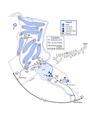
Gordonia-Alatamaha State Park Map
Map of park with detail of trails and recreation zones
219 miles away
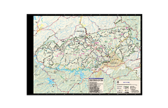
Great Smoky Mountains National Park - Trail map
Official trail map of Great Smoky Mountains National park. Shows all trails, park roads, visitor...
219 miles away
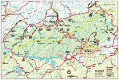
Great Smoky Mountains National Park - Park map
Official park map of Great Smoky Mountains National park. Shows location of all park roads...
219 miles away
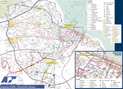
Augusta Public Transit Routes Map
Transit Route Map of the town of Augusta. Includes all streets, some important buildings, and a...
219 miles away
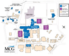
MCG Health System--Medical College of Georgia...
Color-coded map of all buildings on the Medical College of Georgia associated with the MCG Health...
219 miles away
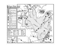
Gorges State Park map
Detailed recreation map for Gorges State Park in North Carolina
219 miles away
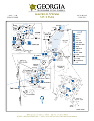
Magnolia Springs State Park Map
Map of park with detail of trails and recreation zones
219 miles away
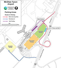
McGhee Tyson Airport Map
220 miles away

Gulf Islands National Seashore Park Map
Official NPS map of the Gulf Islands National Seashore Park. Largest National Seashore in the US...
221 miles away
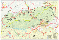
Great Smokey Mountains National Park Trail Map
Hiking trails.
222 miles away
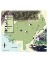
Econfina River State Park Map
Map of park with detail of trails and recreation zones
222 miles away
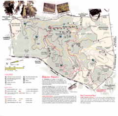
Percy Warner Park Map
223 miles away
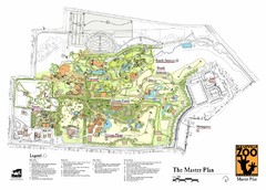
Nashville Zoo Map
223 miles away
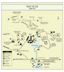
Table Rock State Park MAP
Clear and simple state park map and legend.
225 miles away
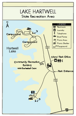
Lake Hartwell State Park Map
Clear state park map.
225 miles away
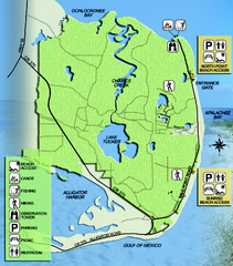
Bald Point State Park Map
Map of park with detail of trails and recreation zones
226 miles away
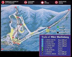
Ober Gatlinburg Ski Resort Ski Trail Map
Trail map from Ober Gatlinburg Ski Resort.
226 miles away
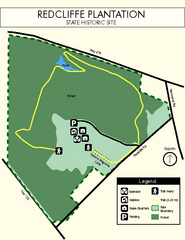
Redcliffe Plantation State Park Map
Clear map of this wonderful state park with a beautiful natural setting.
226 miles away
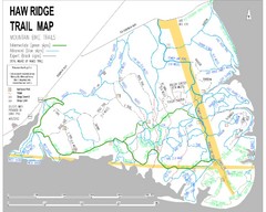
Haw Ridge Trail Map
227 miles away
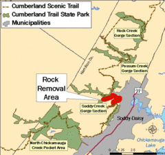
Cumberland Trail, Alabama Map
229 miles away
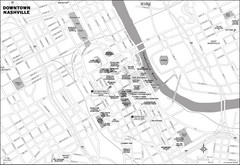
Downtown Nashville, TN Tourist Map
229 miles away
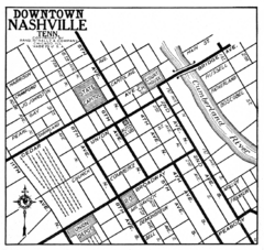
Downtown Nashville, TN Tourist Map
229 miles away
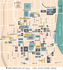
Nashville, TN Tourist Map
229 miles away
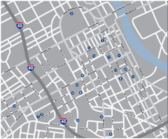
Nashville, TN Tourist Map
229 miles away
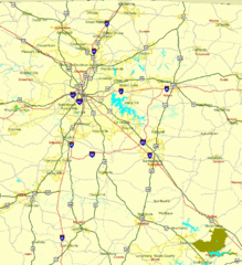
Nashville, TN Tourist Map
229 miles away
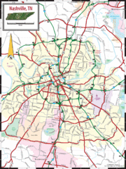
Nashville Road Map
Shows roads and major streets in Nashville, TN area
229 miles away
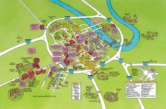
Nashville, TN Tourist Map
229 miles away
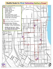
Nashville First Saturday Gallery Crawl Shuttle...
229 miles away

Nashville City Map
229 miles away
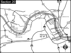
Nashville, TN-Cumberland River Map
The Cumberland River is an important waterway to the city of Nashville. Nashville is also a great...
229 miles away

Midtown Nashville and West End Map
230 miles away
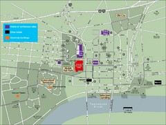
University of Tennessee Map
Map with locations of downtown Tennessee.
230 miles away
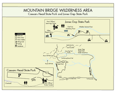
Mountain Bridge Wilderness Area Map
Map and legend marking bathrooms, picnic sites, trails and more.
230 miles away

University of Tennessee Map
230 miles away
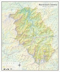
Haywood County Topographical Map
This topographic wall map of Haywood County emphasizes the rugged mountain terrain and natural...
231 miles away
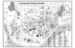
University of Tennessee Map
Campus Map of the University of Tennessee. All areas shown.
231 miles away
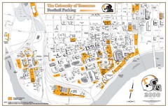
University of Tennessee Tourist Map
231 miles away

