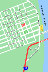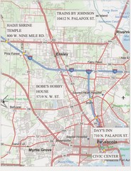
Pensacola, Florida Tourist Map
197 miles away
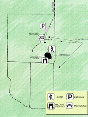
Letchworth-Love Mounds Map
Map of park with detail of trails and recreation zones
198 miles away
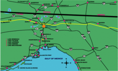
Tallahassee Freeway Map
Freeways and road leading to and from Tallahassee.
198 miles away
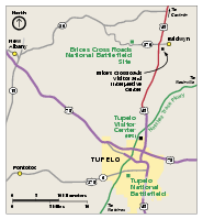
Brices Cross Roads National Battlefield Site...
Official NPS map of Brices Cross Roads National Battlefield Site in Mississippi. The grounds of the...
199 miles away
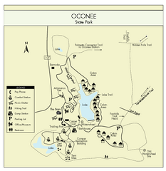
Oconee State Park Map
Beautiful state park clearly mapped with legend.
199 miles away

Pensacola Beach Tourist Map
200 miles away
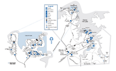
Mistletoe State Park Map
Map of park with detail of trails and recreation zones
200 miles away
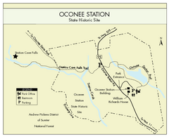
Oconee Station Map
Clear and simple map of Oconee State Park's station.
200 miles away
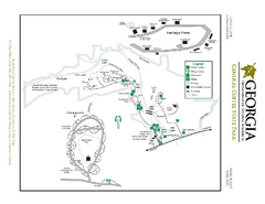
General Coffee State Park Map
Map of park with detail of trails and recreation zones
201 miles away
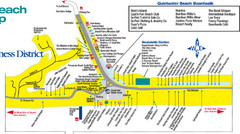
Quitewater Beach Boardwalk Map
201 miles away
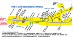
Pensacola Beach Tourist Map
201 miles away
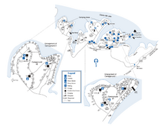
Elijah Clark State Park Map
Map of park with detail of trails and recreation zones
201 miles away
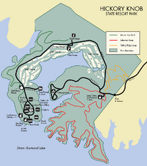
Hickory Knob State Park Map
Detailed map of this beautiful state park.
201 miles away
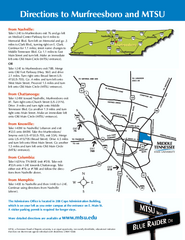
Middle Tennessee State University Map
Middle Tennessee State University Campus Map. All buildings shown.
202 miles away
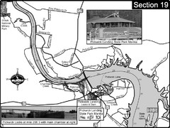
Pickwick Lake Tennessee River Map
For boating navigational information and river road travel along the Tennessee River. This map...
202 miles away
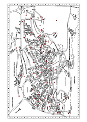
Clemson University Map
203 miles away
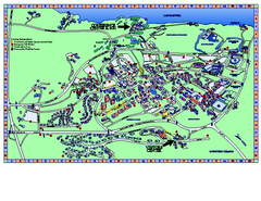
Clemson University Map
Clemson University Campus Map. All buildings shown.
204 miles away
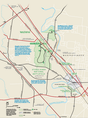
Stones River National Battlefield Official Map
Official NPS map of Stones River National Battlefield in Virginia. 8 AM to 5 PM Daily Pedestrians...
205 miles away
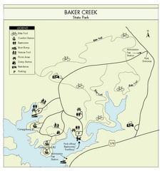
Baker Creek State Park Map
Beautiful park with wonderful views and plenty of wild life.
206 miles away
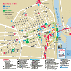
Mobile, Alabama Tourist Map
208 miles away
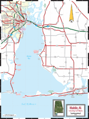
Mobile, Alabama Tourist Map
208 miles away
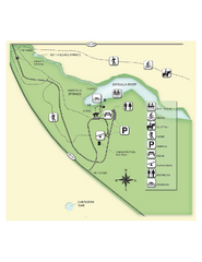
Edward Ball Wakulla Springs State Park Map
Map of park with detail of trails and recreation zones
208 miles away
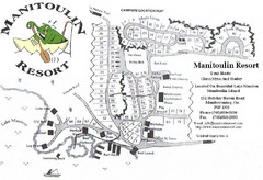
Manitoulin Resort Map
208 miles away
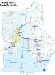
Mobile County Map
Clear map marking Mobile County and local area.
209 miles away

Mobile, Alabama City Map
209 miles away
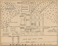
Antique map of Mobile from 1815
"Mobile in 1815" From Report on the Social Statistics of Cities, Compiled by George E...
209 miles away
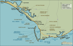
Mexico Beach, Florida Tourist Map
210 miles away
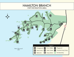
Hamilton Branch State Park Map
Simple state park map.
210 miles away
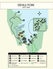
Devils Fork State Park Map
Clearly marked state park map.
210 miles away

Sassafras Ridge Panorama Map
Panoramic view from Sassafras Ridge near Cashiers, North Carolina.
211 miles away
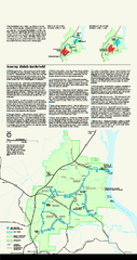
Shiloh National Military Park Official Park Map
Official NPS map of Shiloh National Military Park in Tennessee. The park is open every day except...
212 miles away
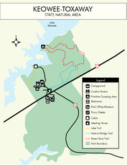
Keowee Toxaway State Park Map
Clear and detailed map of this wonderful state park.
212 miles away
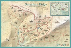
Sassafras Ridge Shaded Relief Map
This map is a shaded relief property map with survey boundaries and property roads. The map...
212 miles away
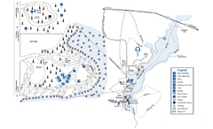
George L. Smith State Park Map
Map of park with detail of trails and recreation zones
212 miles away
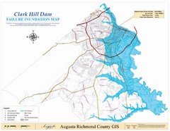
Richmond County Failure Inundation Map
Map of the flood water failure inundation of Augusta Richmond county, Georgia. Includes detailed...
213 miles away

Clifton, TN Tennessee River Map
For boating navigational information and river road travel along the Tennessee River.
214 miles away
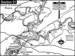
Kingston, TN Tennessee River/Clinch River/Emory...
Shows a bend on the Tennessee River at the confluence of the Clinch & Emory Rivers. For boat...
214 miles away
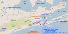
Orange Beach, Florida Beach Tourist Map
215 miles away
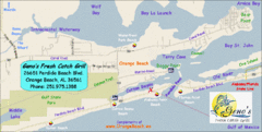
Orange Beach Tourist Map
215 miles away

